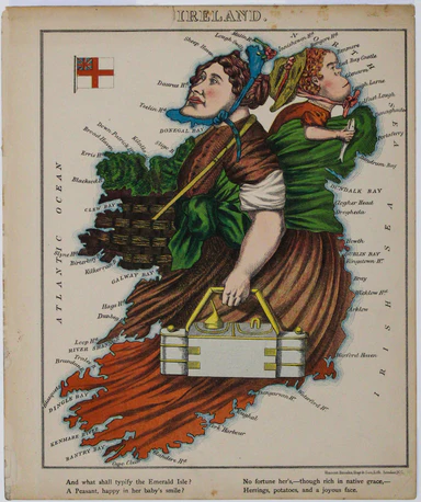
Aleph's Caricature Map of Ireland
This anthropomorphic map of Ireland was published in “Geographical Fun: Being Humorous Outlines of Various Countries”. Though credited on the title...
View full details
This anthropomorphic map of Ireland was published in “Geographical Fun: Being Humorous Outlines of Various Countries”. Though credited on the title...
View full details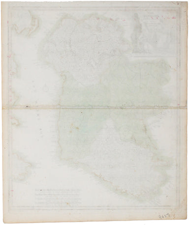
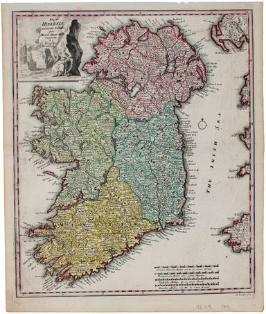
Regni Hiberniae accurata tabula Christoph Weigel's map of Ireland was engraved by Michael Kauffer after Herman Moll and published in Samuel Faber’s...
View full details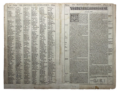
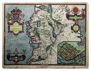
The Province of Connaugh with the Citie of Galwaye described […] The inset plan of Galway is the earliest printed map of the city, and Speed was al...
View full details
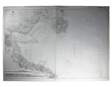
This chart of Dublin bay shows soundings etc, with interior detail of relief and settlements (including eastern Dublin), and inset coastal profiles...
View full details
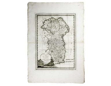
La Parte Orientale della Irlanda che comprende le Provincie di Ulster e Leinster This is the eastern sheet of Cassini’s pleasing and unusual two sh...
View full details
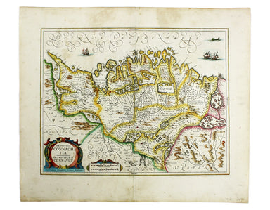
Provincia Connachtiae. The Province of Connaught Joannes Janssonius II (1588-1664) married into the Hondius family and, with Henricus Hondius, work...
View full details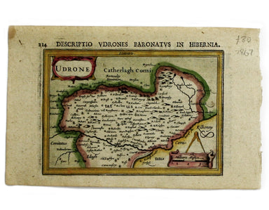
This map of Udrone from is the first edition of Tabularum geographicarum contractarum libri, a geographical work which is normally catalogued under...
View full details
