Bryars & Bryars
Langenes' Miniature Map of the Maluku Islands
Langenes' Miniature Map of the Maluku Islands
Couldn't load pickup availability
Moluccae Insulae
This map shows the Maluku Islands (or Moluccas), part of the volcanic Indonesian archipelago known to contemporary Europeans as the ‘spice islands’. They were the focus of Portuguese, Spanish, Dutch and English attempts to control the lucrative spice trade.
The map was engraved by Jodocus Hondius or Pieter van den Keere for the 'Caert thresoor', a miniature atlas first published in 1598. From 1600 it was also used in the earlier editions of Petrus Bertius’ 'Tabularum Geographicarum'; superseded by a revised series of maps by Jodocus Hondius II in 1616.
Condition & Materials
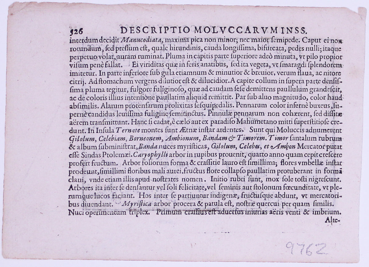
Copper engraving, printed area measurement 8.6 x 12.5 cm, second state (left-hand border re-engraved with latitude graduations), black and white, Latin text on verso.
Share