

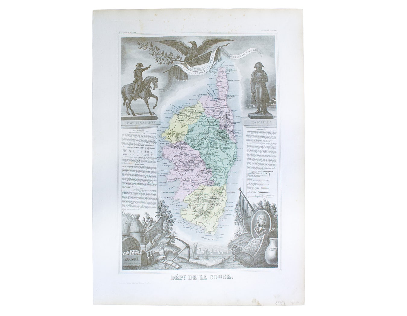
Levasseur’s Map of Corsica
SKU: 8947
Title:
Levasseur’s Map of Corsica
Date of publication:
Printed Measurement:
Colour:
Mapmaker:
Départment de la Corse
A map of Corsica from an edition of Levasseur’s ‘Atlas National Illustré’. Read more
Condition & Materials
Steel engraving, engraved area 29 x 43 cm, map of Corsica with original hand-colour and elaborate border showing regional costume, produce and local historical figures – dominated here by Napoleon; trivial marginal spotting, blank verso. Read less