LNER Cartage Boundary Map
SKU: 9453
Title:
LNER Cartage Boundary Map
Date of publication:
Printed Measurement:
Publisher:
Colour:
Mapmaker:
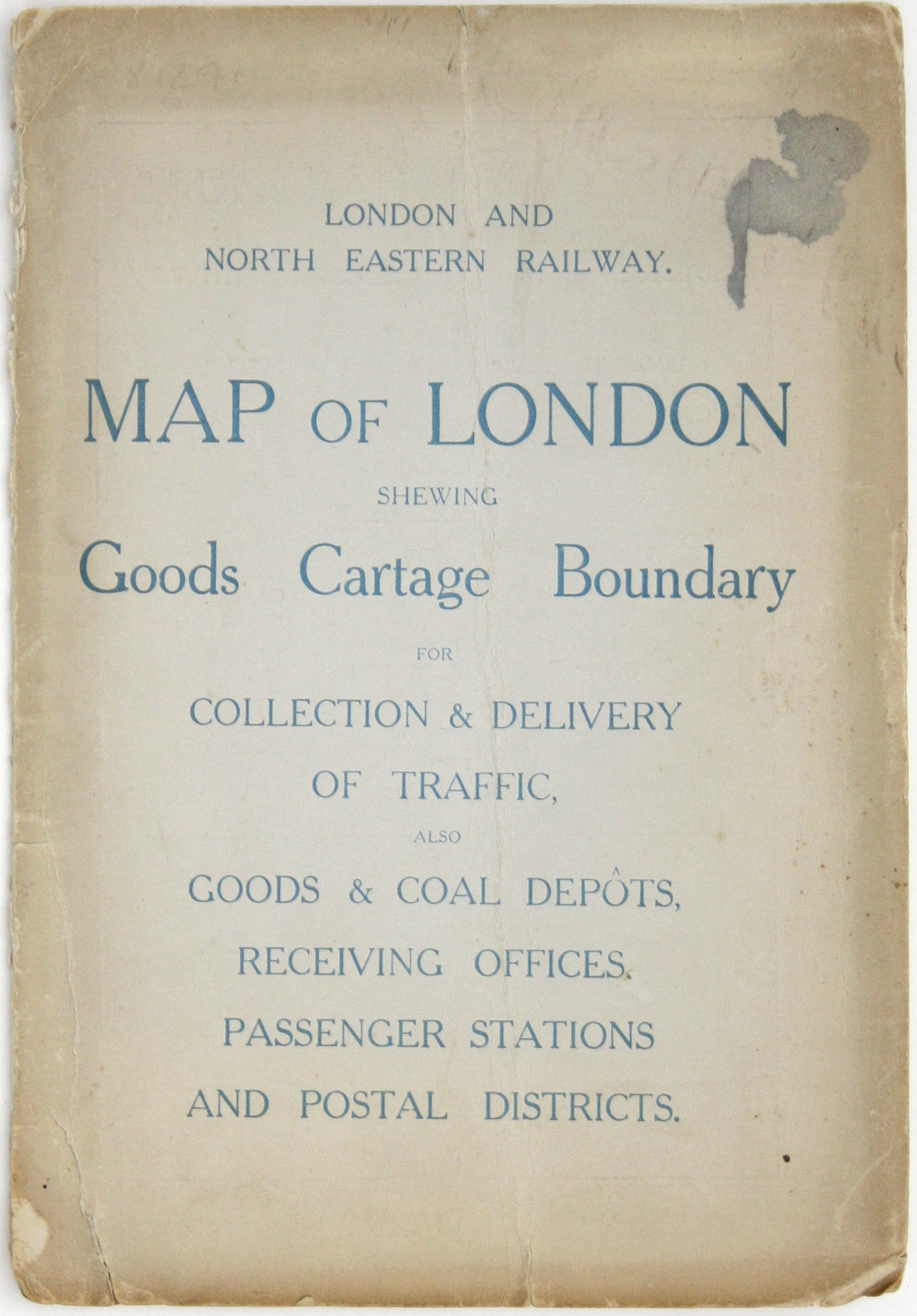
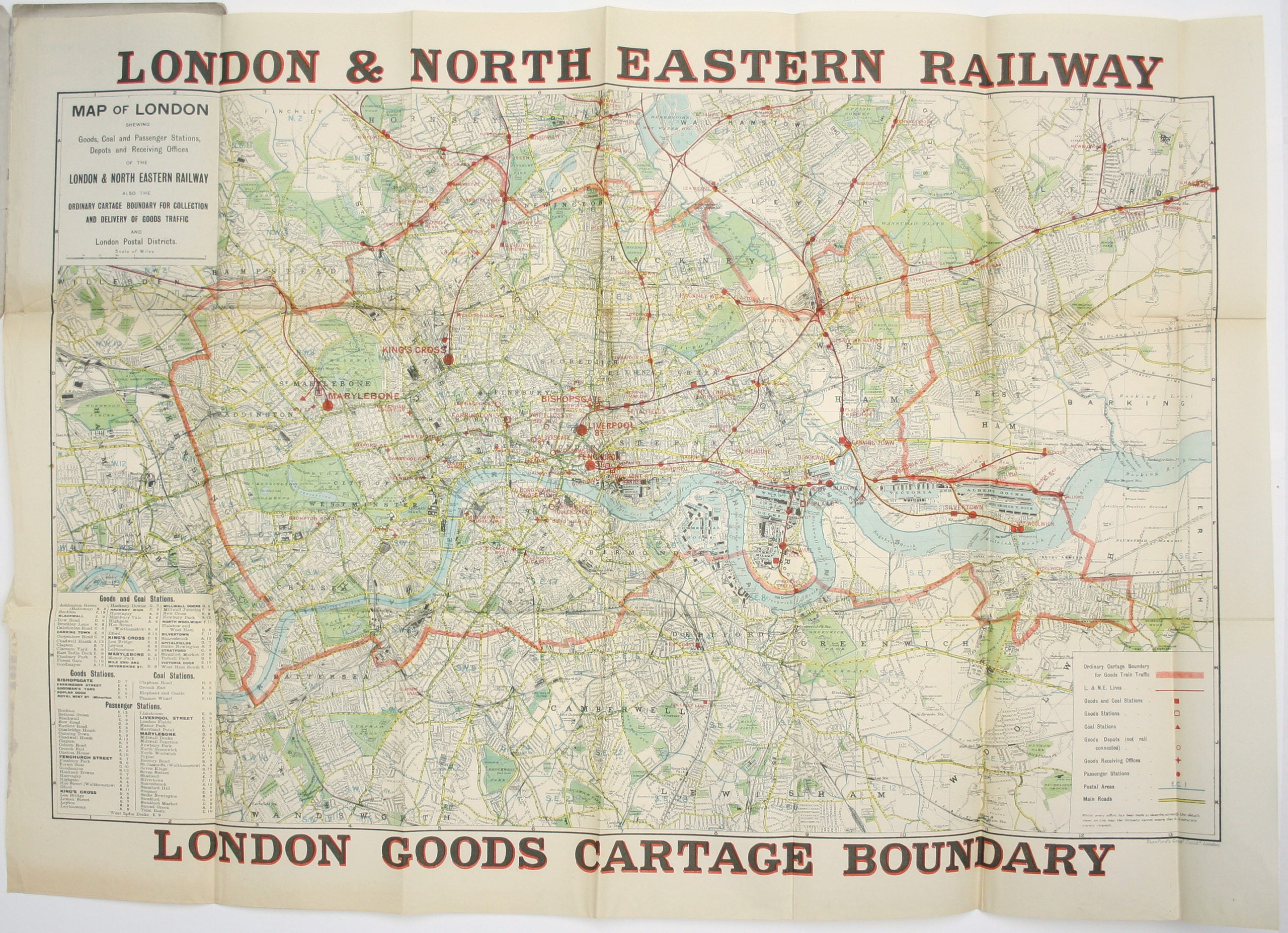
Map of London shewing Goods, Coal and Passenger Stations, Depots and Receiving Offices of the London & North Eastern Railway, also the Ordinary Cartage Boundary for collection and delivery of good traffic
Thus detailed map of London’s cartage boundaries and depots is undated but probably published shortly after the grouping of the ‘big four’ companies that owned and operated the railway lines. Read more
Condition & Materials
Folding map, sheet size 63.5 x 90 cm, printed in colours on thin paper, a couple of short tears, blank verso; folding into printed card covers, worn. Read less


