Map of Proposed Mail Routes Between Baltimore & Philadelphia
SKU: 9585
Title:
Map of Proposed Mail Routes Between Baltimore & Philadelphia
Date of publication:
Printed Measurement:
Publisher:
Colour:
Mapmaker:
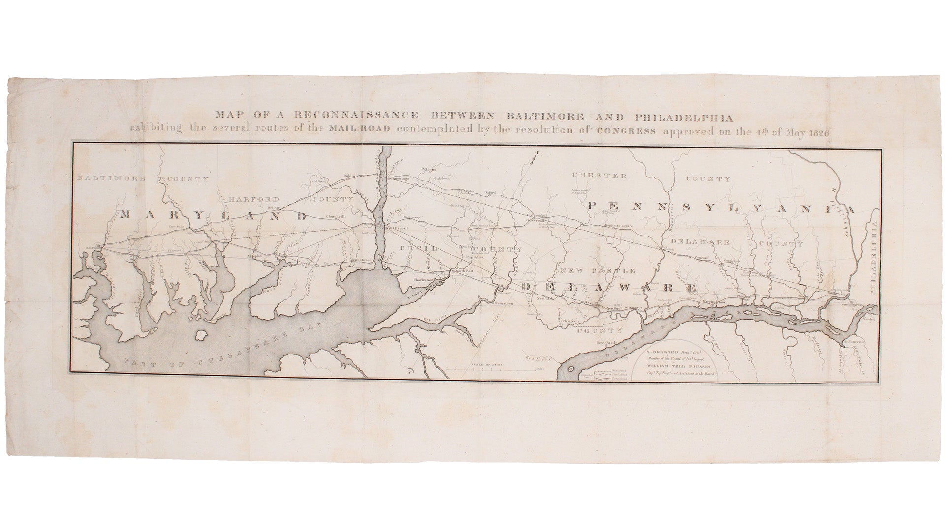
This route map was published in a report to Congress as ‘Letter from the postmaster general transmitting a report of General Bernard, of surveys of routes for a post road from Baltimore to Philadelphia’.
The map shows various alternative routes, and is an early example of U.S. government cartographic printing: ‘in May 1826, the U.S. Congress authorised a survey party to explore various new mail routes to Philadelphia. This map appeared as part of a government document the following year'. Read more
The Postmaster General at that time was John McLean (1782-1861); the map was produced under the auspices of Simon Bernard (1799-1836), a member of the Board of Internal Improvement, and William Tell Poussin (1794-1876), a Captain in the [U.S. Army Corps of] Topographical Engineers.
Condition & Materials
Copper engraving, 28.5 x 83 cm, one or two minor restorations to verso, old folds, blank verso. Published in Washington.
References
Cobb, Mapping Maryland, The William Hackerman Collection (2002)
OCLC: 82929312 Read less


