Bryars & Bryars
Ortelius' 1584 Map of the British Isles
Ortelius' 1584 Map of the British Isles
Couldn't load pickup availability
This map of the British Isles is aligned with west at the top of the map and north on the right, which makes better use of the available space on the page; it was chiefly derived from Mercator’s map of 1564.
Abraham Ortelius's ‘Theatrum Orbis Terrarum’ is widely considered the first modern world atlas, originally published in 1570. Ortelius gathered and selected the maps which he believed represented the best available cartographic knowledge of his day, which he then presented it in a single volume, duly credited and finely engraved in a consistent style, with explanatory text.
The Theatrum was highly decorative and hugely popular amongst the wealthy and educated, running into over forty editions in Latin and other major European languages.
Condition & Materials
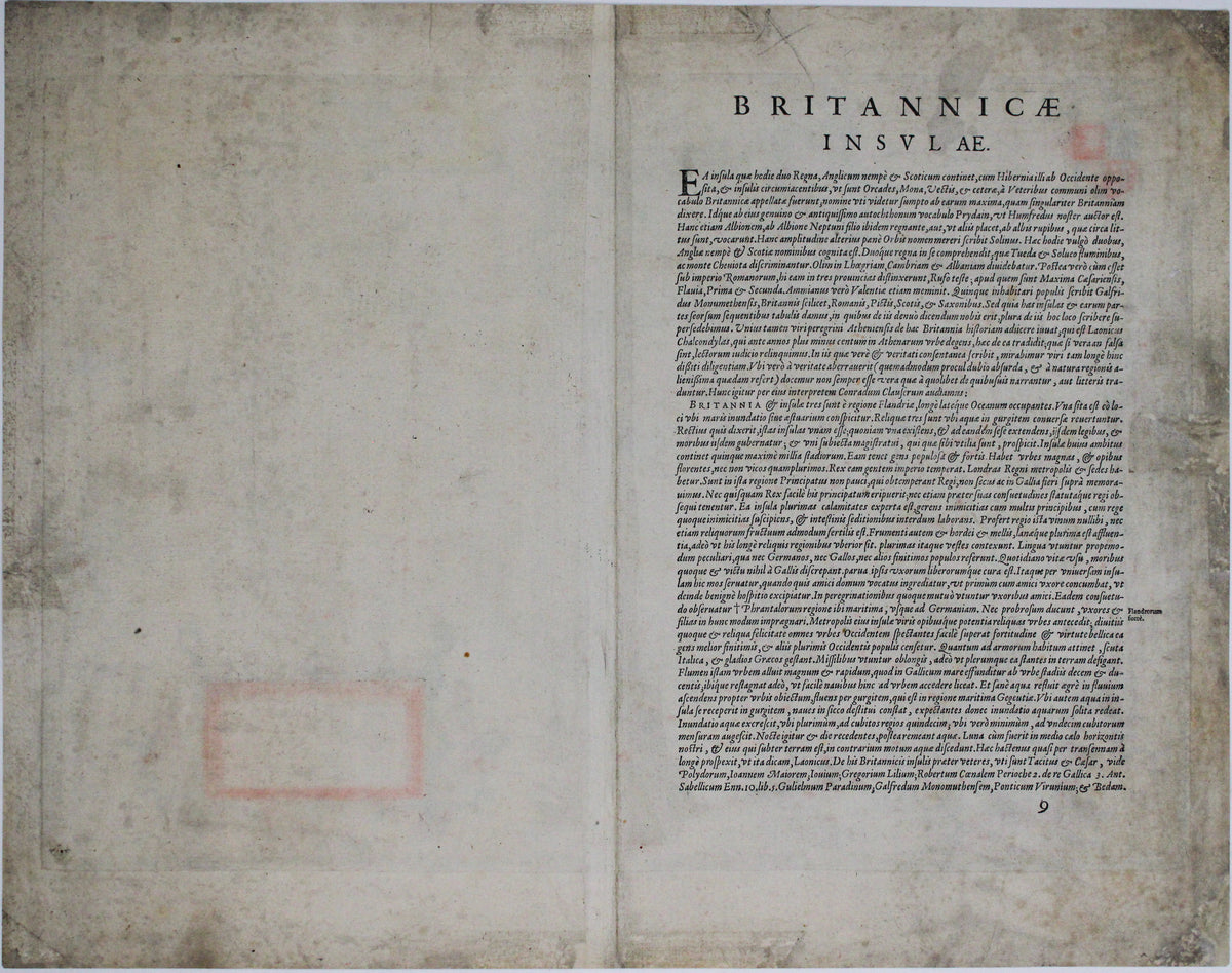
Copper engraving, printed area 34.5 x 49.5 cm, modern hand-colour, centrefold reinforced on verso, several neat marginal restorations, Latin text on verso.
References
Shirley, British Isles, 139 (but cf. 86)
Van den Broecke 16.
Share