

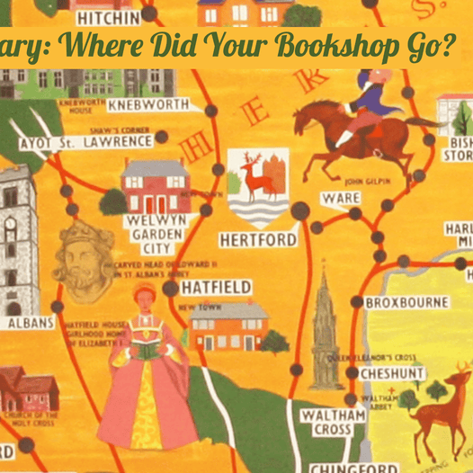
Mary, Mary: Where Did Your Bookshop Go?
On the trail of Mary Camige and Mary Sims, poster artists and co-owners of the Portman Bookstore
Read now

In one of my first posts I covered cartoon and satirical maps in a very general way. They have a long history, reaching back to the mediaeval period if not beyond, but they gained a new currency in the...

I don’t want to repeat too much I’ve just said in my previous post (and probably a good idea to read that first), but I thought it might be fun to compare the different depictions of the British Isles. One...

My favourite time of year, and here’s a fine map-related greetings card for you all: It’s in postcard form, probably taken in a French studio early in the First World War (and although the props were probably lying around there...

I’ve just spent an agreeable couple of days at the annual ABA bookfair in Chelsea Old Town Hall. I’ve wriggled out of exhibiting at fairs for more than a decade (with the honourable exception of the London Map Fair on...

At last, a chance for some intensive cataloguing. Long overdue, and it stirs the blood more than somewhat when the provenance is as much fun as this. Here’s my brief description. Wolff, Joseph: Narrative of a Mission to Bokhara, in...

Few things in my corner of the rare booktrade seem to cause as much confusion and consternation as the colouring of maps: when, by whom and why? Commercially viable colour-printing didn’t really take off until the mid nineteenth-century, and there’s...

The presentation of maps - how they were bought and sold and how they were first used - is something I think about rather a lot (far too much?) It’s important to recall that virtually all early map-makers were businessmen...

Forty copies of the new Dictionary of British Map Engravers (Laurence Worms & Ashley Baynton-Williams; Rare Book Society 2011, £125) were wheeled into my shop on Friday afternoon - after I’d explained that a forklift with a wooden pallet wouldn’t...

I threatened to come back to thematic and statistical cartography in an earlier post. It does sound like a threat – dry as dust – but actually the development of this sort of map-making in the second half of the...

Cartographic games – often using a map as the board (like Risk) - are a genre in their own right, and one which has attracted ever increasing amounts of scholarly interest. Take Jill Shefrin’s detailed study of a particular publisher...

I’m often asked about satirical maps (really! but I do spend all day in a map shop) and it’s a fascinating field: the maps are decorative and entertainingly inventive, and by their nature they are highly revealing about the societies...

THOSE THAT WILL WORK, THOSE THAT CANNOT WORK, AND THOSE THAT WILL NOT WORK … Henry Mayhew identified a fourth class too – those that need not work – not his chief concern and they don’t make it onto the...