

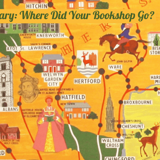
Mary, Mary: Where Did Your Bookshop Go?
On the trail of Mary Camige and Mary Sims, poster artists and co-owners of the Portman Bookstore
Read now

Just for once, the answer to the question is ‘everything’. The late nineteenth century was the heyday of the thematic atlas, but I have rarely seen one quite so specialist or as magnificent as Olsen’s 1883 Piscatorial Atlas. A series...

Today's guest on the blog is my good friend Winfrid de Munck. Twentieth Century maps, until recently the preserve of a few enthusiasts, are now the focus of serious and sustained study - but a great deal remains to be...

Antique maps of the environs of London generate mixed emotions among dealers and collectors. When the extent is simply too broad - 21, 25 or even 30 miles round the capital - one can be left with the feeling that...

I was delighted to have the opportunity to purchase a scarce map by Fred Rose, one which offers a few insights into Rose’s intentions when he created his most well-known map, his Serio-Comic War Map for the Year 1877.The latter...

Crétée’s scarce First World War caricature map has cropped up on this blog before, but I have now had the opportunity to compare the two versions side by side: It has laid to rest any lingering doubts I may have...

A tiny riddle solved. I’d been wondering why I only seemed to see (apparently) defective copies of the 1932 Pocket Guide to the Soviet Union, published by Vneshtorgisdat for the official Soviet travel agency Intourist. Four maps are called for,...

This map was conspicuously absent from the blog post on First World War satirical maps which I wrote over a year ago. “Hark! Hark! The dogs do bark!” is a famous image, but I didn’t have an example in stock...

I’ve just been contemplating one of Willem Blaeu’s more striking cartouches, which adorns the map of the Turkish Empire which he engraved in the 1630’s. It was copied directly by cartographers including Merian, and clearly influenced others such as de...

More examples of maps which have interested me. All happen to be from the same era, but I’m making no further claims for coherence - they just instances where the cover art alone is worth the price of admission. The...

I’m often asked how maps were printed in the hand-press period. And the (short) answer is that that between the late fifteenth and the early nineteenth-centuries, the finest results were obtained by taking impressions, one at a time, from etched...

"They cut his throat from ear to ear, his head they battered in; his name was Mr William Weare, who dwelt at Lyon’s Inn." This well-enough known fragment of doggerel has been inscribed in an early hand at the back...

I’ve never seen a map quite like this before. It’s on a small vellum leaf (13.5 x 8.5 cms) which has been pierced with great intricacy to create a lace-like effect; the hand is eighteenth-century and southern European, possibly Spanish....