On Maps
RSS
-
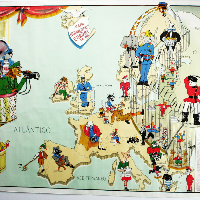
Metaphorical Maps Redux & Cold War Politics: the view from Portugal, 1953
This is an astonishing map, in some ways about forty years out of its proper time. Light-hearted metaphorical* maps of Europe, so popular in the period 1854-1915, had all but ceased when the joke wore thin, in the early part...
-
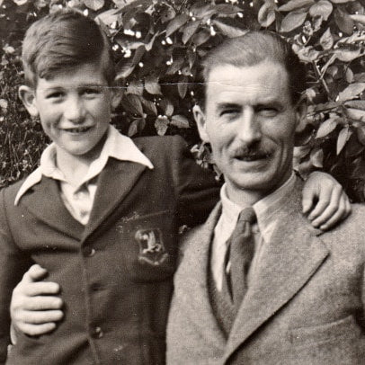
Kerry Lee, his dog Jim, and Dick Turpin on Hampstead Heath
Now and again the internet brings surprises of the best possible kind. In an earlier blog post about pictorial maps of London I lamented that next to nothing had been written about the artist Kerry Lee, best known as a...
-
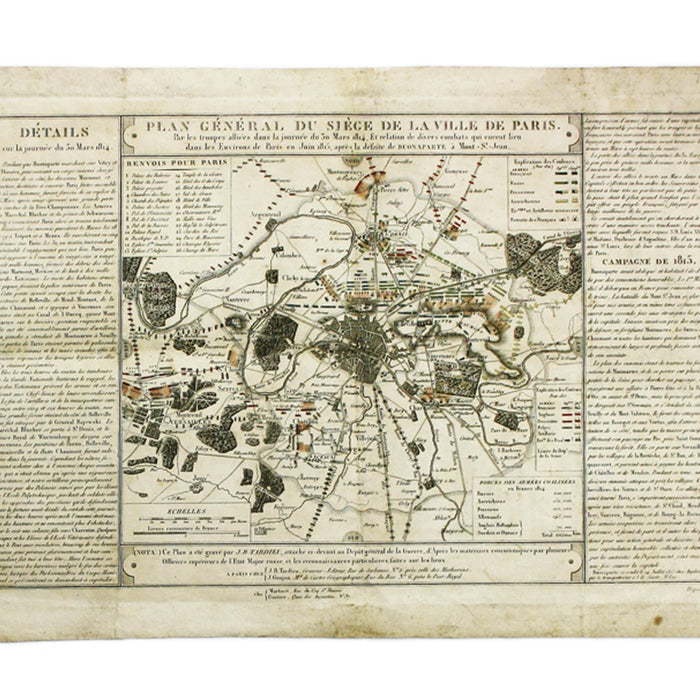
Napoleon's Abdications
This month is going to be all about Waterloo. I’m certainly expecting to see a healthy tranche of related material at this weekend’s London Map Fair. But I’m rather pleased with this separately published map we’ll have on our stand...
-
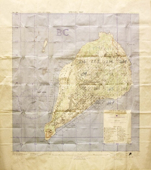
Provenance on maps: A Secret Map of Iwo Jima, November 1944
I’ve been writing about book provenance recently, but annotations on maps can be equally fascinating. Seventy years ago this map was used by a US artillery spotter during the battle of Iwo Jima. The US Marine Corps bore the brunt...
-
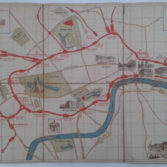
Unauthorised Mapping on the District Railway
I’m facing one of those conundrums which occur in the daily life of an antiquarian mapseller. A map I’ve never seen before, not described in any of the relevant bibliographical material, no author, no imprint, no date. Ho hum. Here...
-
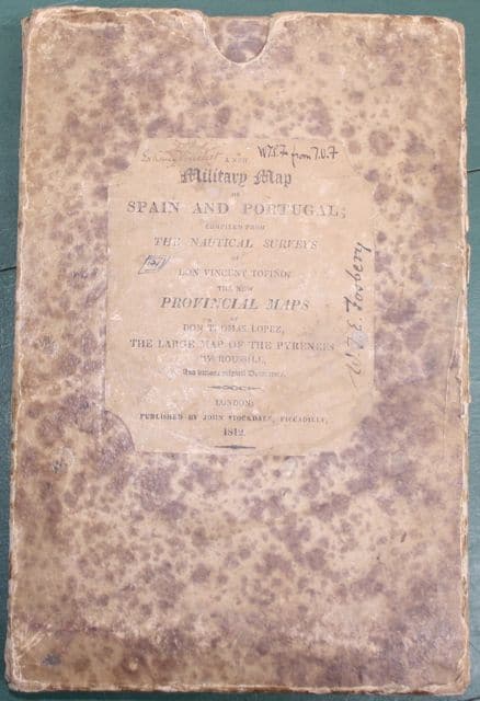
Campaign Kit for the Peninsula: Stockdale's Map of 1812
Provenance is a much abused term, or at least it’s much misunderstood. After poring over a Speed county map in the shop people will often turn to me and ask about its provenance. Only in exceptional circumstances can one track...
-
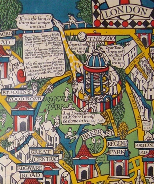
Pictorial Plans of London: MacDonald Gill & beyond
This post is something of a work in progress, so please check back now and again to see if I’ve been able to expand it. So far I’ve tried to avoid some of the most well-known maps, but in this...
-
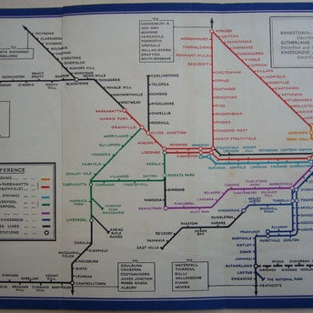
Sydney and the origins of 'Becksploitation'
Astute commentators have already noted that the 1939 Sydney Underground map is “strikingly similar” to Beck’s diagrammatic Tube map (see, for example, Claire Dobbin in London Underground Maps). It has even been suggested that this is the first straight copy...
-
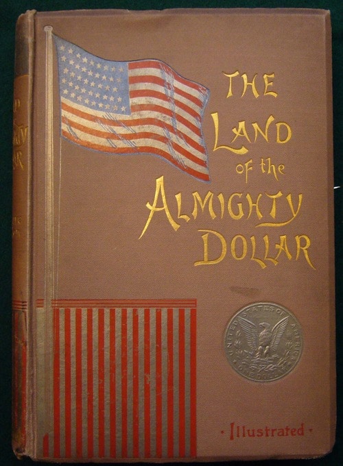
Charles Henry Sanford's cartographic book plate
1892 The Land of the Almighty Dollar, a critical account of the United Sates chiefly based on the author’s travels in New York and Chicago. I’ve been dipping into it and the text is worthy of a post in itself,...
-

Festivals, Signings & Cake
So, the eagerly awaited (by its authors, certainly) A History of the 20th Century in 100 Maps by Bryars & Harper has now hit the shops, published by the British Library here in the UK and by the University of...
-
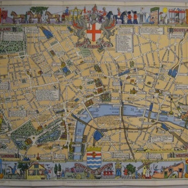
Leslie George Bullock: cartoon maps for children
Leslie George Bullock (1904-1971) first cropped up on these pages a couple of years ago, in a post about pictorial maps of London. He created whimsical but informative cartoon maps for children, most notably perhaps his Children’s Map of London,...
-
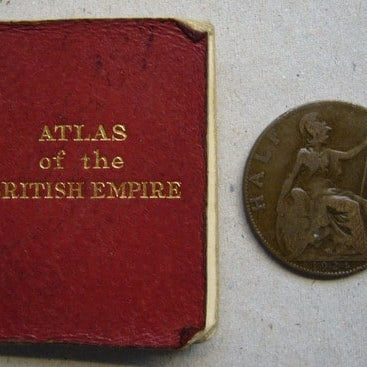
Altlases of Empire
I seem to have a good selection of atlases of the British Empire at the moment: Thematic atlases became especially popular in the later nineteenth-century, pioneered by firms such as W. & A.K. Johnston and Bartholomew. Here’s an example of...


