

Ashe's History of the Azores
History of the Azores, or Western Islands; containing an account of the government, laws, and religion, the manners, ceremonies, and character of t...
View full details

History of the Azores, or Western Islands; containing an account of the government, laws, and religion, the manners, ceremonies, and character of t...
View full details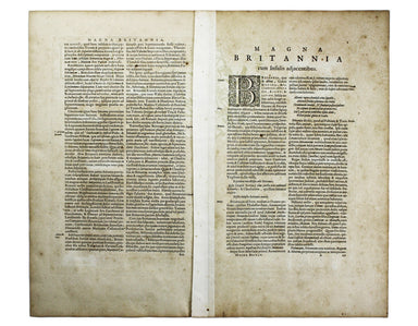
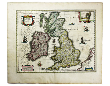
Magnae Britaniae et Hiberniae Tabula First published in 1631, this map of the British Isles became the Blaeu firm’s principal one for twenty years....
View full details
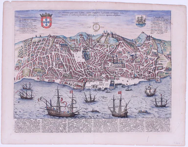
Olissippo quae nunc Lisboa, civitas amplissima Lusitaniae, ad Tagum, totius Orientis, et multarum Insularum Aphricaeque et Mericae emporium nobilis...
View full details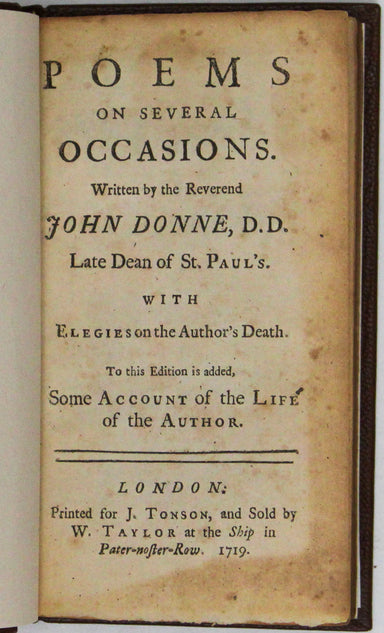

Poems on several occasions. Written by the Reverend John Donne, D. D. Late Dean of St. Paul’s. With elegies on the author’s death. To this edition...
View full details

A Map of the County Palatine of Lancaster Divided into Hundreds and Parishes from an accurate Survey made in the years 1828 and 1829, For Hennet’s ...
View full details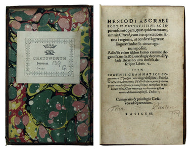
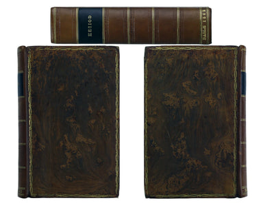
Hesiod: Hesiodo Ascraei poetae vetustissimi ac sapientissimi opera, quae quidem extant, omnia Graecè, cum interpretatione latina è regione, ut conf...
View full details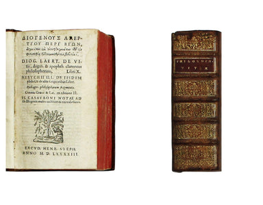
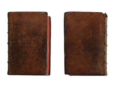
Diogenes Laertius; Eunapius of Sardis: [...] De Vitis, dogm. & apophth. clarorum philosophorum, Libri X. Heschyii ill. de iisdem philos. & ...
View full details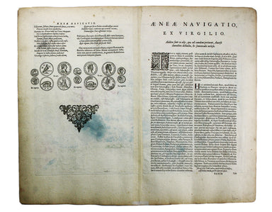
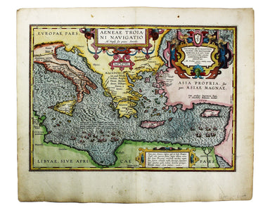
Aeneae Troiani Navigatio, as Virgilii sex priores Aeneidos This of the eastern Mediterranean depicts the wanderings of the legendary Trojan prince ...
View full details
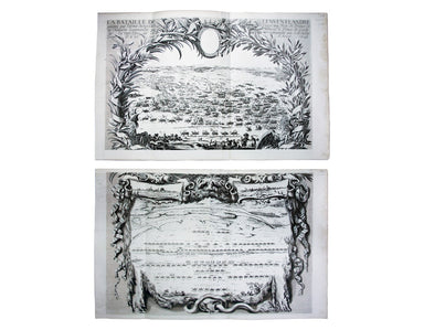
La Bataille de Lens en Flandre gaignee par l’Armee du tres Chres[tien] Louys XIIII Roy de France ed de Navarre, Comandee par Monseigneur le Prince ...
View full details
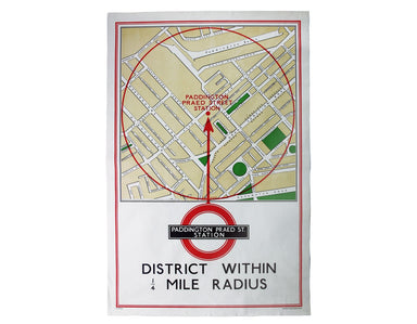
District within ¼ mile radius [of] Paddington Praed Street Stanford’s was a firm of map publishers as well as map retailers until after the Second ...
View full details
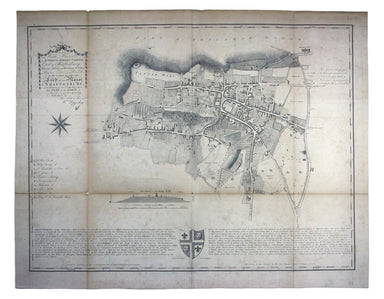
“To the Right Honourable Anthony, Ashley Cooper, Earl of Shaftesbury; Baron Ashley of Winborne St. Giles; Baron Cooper of Powlett in the County of ...
View full details

Wallis's Guide for Strangers, through London, and its Evirons, 1821 The stranger will here find an alphabetical list of streets corresponding to a ...
View full details
