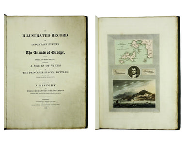
Bowyer’s Illustrated Annals of Napoleonic Europe
An illustrated record of important events in the annals of Europe, during the last four years: comprising a series of views of the principal place...
View full details
An illustrated record of important events in the annals of Europe, during the last four years: comprising a series of views of the principal place...
View full details
Mer Méditerranée – Port de Smyrne This French naval chart of Smyrna includes insets of Port d’Abri (the inner harbour at modern day Izmir) and two ...
View full details
Mappe A […] Militärgeographische Angaben über England […] 3 Auflage, Abgeschlossen am 31 August 1941. Berlin: Generalstab des Heeres, Abteilung für...
View full details
London: Day & Son for FG Moon, 1846-49. Tinted lithograph, 48.5 x 32.5 cm, by Louis Haghe after Roberts, creases in lower margin, not affectin...
View full details
Carte Routière de la France dressée par ordre de Monsieur le Directeur Général des Ponts et Chaussées Though described in the title as a road map o...
View full details
Jerusalem, cum suburbiis, prout tempore Christi floruit, accurate notatis omnibus insgnibus et praecipuè iis locis, in quibis Christus passus est e...
View full details
Therapeutices Universalis, seu medendi rationibis, libri septem [bound with] De Abditis Rerum Causis, libri duo [...] Jean Fernel (1497-1558) was p...
View full details