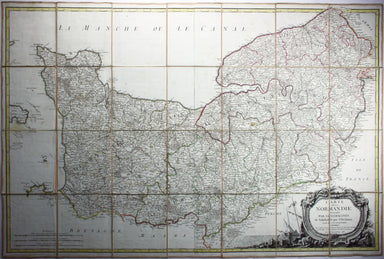
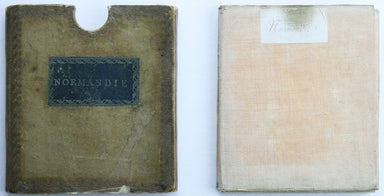
18th Century Folding Map of Normandy
Carte de la Normandie, divisée par Generalités et subdivisée par Elections Condition & Materials Folding map of Normandy, 68 x 102.5 cm, origin...
View full details

Carte de la Normandie, divisée par Generalités et subdivisée par Elections Condition & Materials Folding map of Normandy, 68 x 102.5 cm, origin...
View full details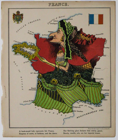
Though credited on the title-page under his pen-name ‘Aleph’, William Harvey himself gives all the credit for this series of comic maps to a “young...
View full details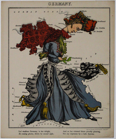
Though credited on the title-page under his pen-name ‘Aleph’, William Harvey himself gives all the credit for this series of comic maps to a “young...
View full details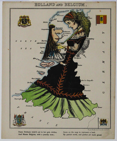
Thus anthropomorphic map of Holland and Belgium was published in “Geographical Fun: Being Humorous Outlines of Various Countries.”. Though credited...
View full details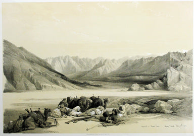
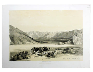
London: Day & Son for FG Moon, 1842-45. Tinted lithograph by Louis Haghe after Roberts, 35.5 x 51 cm, minor spotting. From the first edition o...
View full details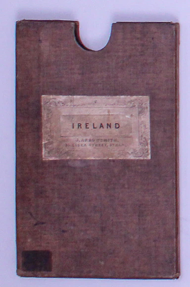
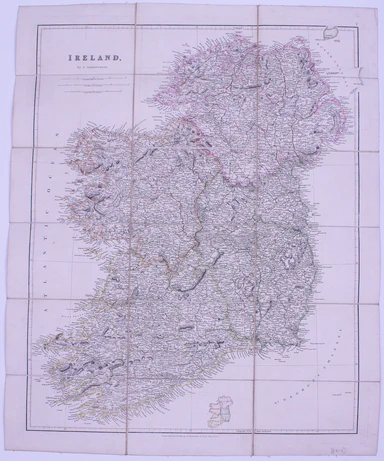
This is a separately issued example of a map of Ireland which also appeared in Arrowsmith’s major work, his influential ‘London Atlas of Universal ...
View full details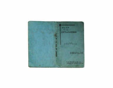
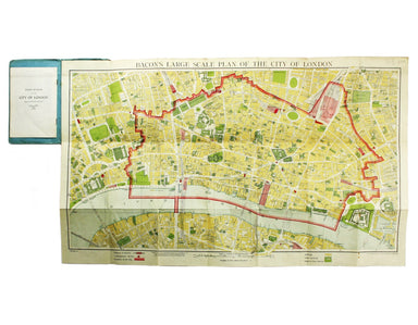
Bacon’s large scale plan of the City of London Condition & Materials Folding map, 42.5 x 71 cm, printed in colours, laid on linen as issued, a ...
View full details

Bacon’s Map of the World on Mercator’s Projection Condition & MaterialsLithographed folding map, sheet size 48 x 66 cm. Original hand colour, a...
View full details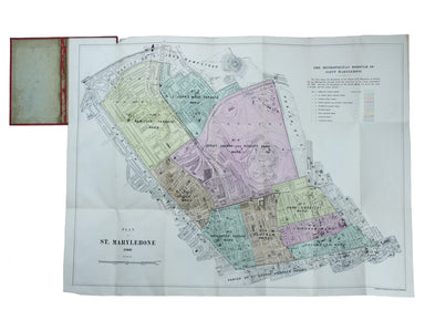
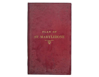
Plan of St Marylebone 1900 Detailed map of the Metropolitan Borough of St Marylebone as created by the London Government Act 1899, coloured to show...
View full details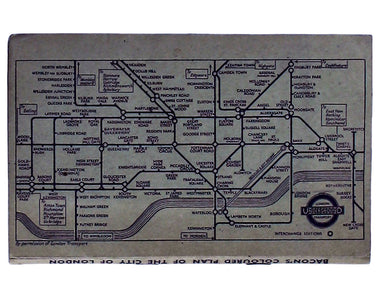
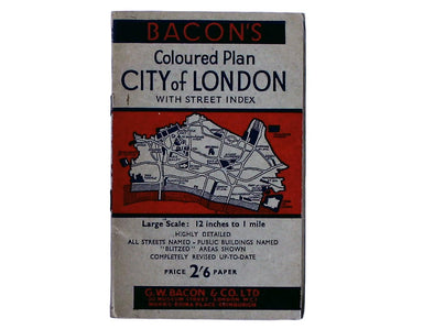
Bacon’s Large Scale Plan of the City of London –Bacon’s Coloured Plan of the City of London… “Blitzed” areas shown A highly detailed map of London ...
View full details
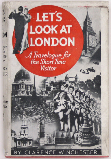
Beck’s diagram is possibly one of the most innovative and influential designs of the 20th century. First published in 1933, Beck remained directly ...
View full details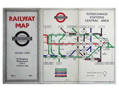
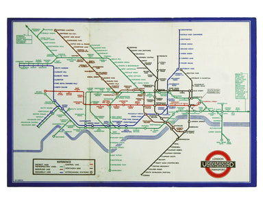
Beck’s diagram is possibly one of the most innovative and influential designs of the twentieth century. First published in 1933, Beck remained dire...
View full details

Beck’s 1938 passenger map features on its reverse an enlargement of the central London area with interchange stations named inside large diamonds. ...
View full details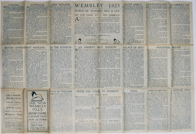
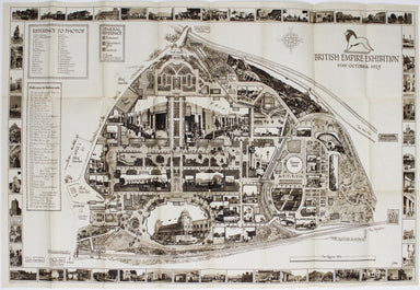
The British Empire Exhibition originally ran between April and November 1924, but it was not a financial success, and the decision was taken to reo...
View full details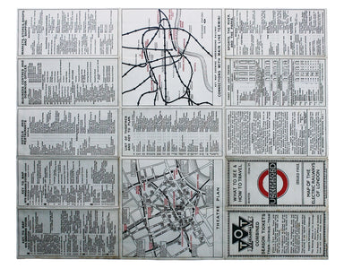
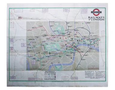
Underground Railways of London/What to see and how to travel: Map of the Electric Railways of London The continuation of lines in the margins is no...
View full details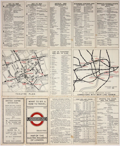
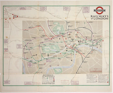
Underground Railways of London What to see and how to travel: Map of the Electric Railways of London Condition & Materials Summer 1925 issue of...
View full details
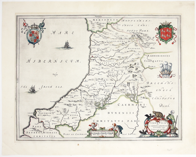
Ceretica sive Cardiganensis Comitatus; Anglis Cardigan Shire Blaeu and the rival Golden Age Dutch cartographic publishing house of Janssonius raced...
View full details
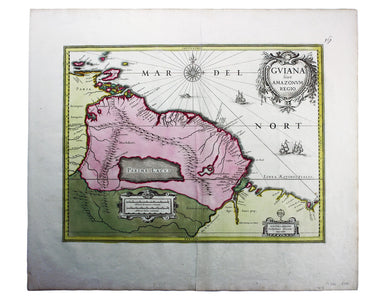
This is a late issue of Blaeu’s map of Guiana, with full-body colour typical of the later seventeenth-century. Seventeenth and eighteenth century m...
View full details
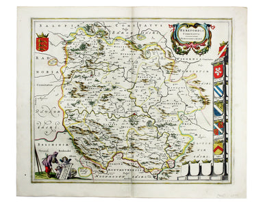
Blaeu’s map of Herefordshire. Blaeu and the rival Golden Age Dutch cartographic publishing house of Janssonius raced to bring out atlases of the Br...
View full details
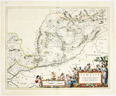
This map of Liddesdale, in the Scottish borders, is from Golden Age Dutch cartographer Blaeu’s Scottish atlas. First published in 1654, the atlas w...
View full details
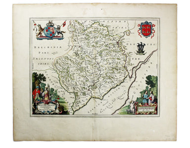
This map of Monmouthshire and the Severn Estuary is from ‘the rarest edition of Blaeu’s Large Atlases’: only ten of the proposed eleven volumes wer...
View full details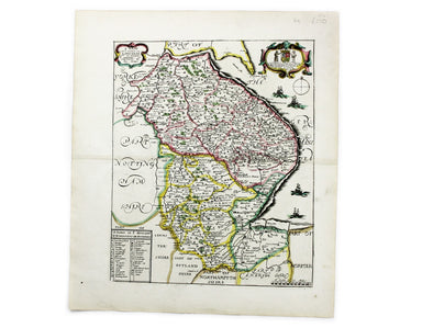
Blome published the first new series of county maps since Speed. In the straightened financial environment of post-Restoration London he had to rep...
View full details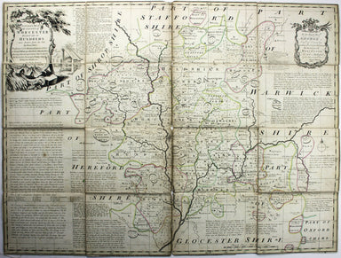
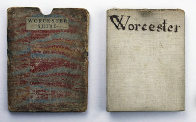
An accurate map of the County of Worcester divided into its hundreds and drawn from the best authorities. Illustrated with historical extracts rela...
View full details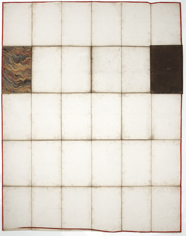
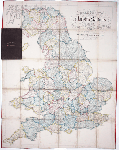
Bradshaw’s map of the railways of England & Wales with part of Scotland, reduced from the highly accurate Ordnance Survey, presented to the sub...
View full details
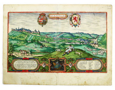
This map of Limbourg or Limburg is from the Civitates Orbis Terrarum, one of the most significant cartographic works of the late sixteenth-century,...
View full details
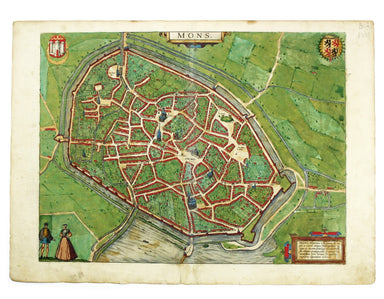
This map of Mons in Belgium is from the Civitates Orbis Terrarum, one of the most significant cartographic works of the late sixteenth-century, pri...
View full details
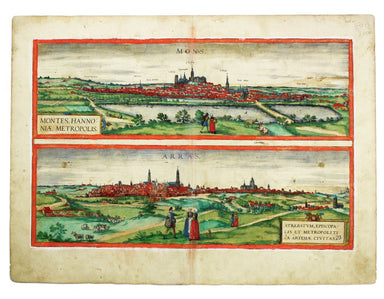
This map of Mons in Belgium is shown with Arras in northern France. It is from the Civitates Orbis Terrarum, one of the most significant cartograph...
View full details
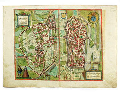
This map includes French town plans after Belleforest on one sheet: Autun in Burgundy and Nevers in Bourgogne. They are from the Civitates Orbis Te...
View full details

This plan of Douai (Duacum) in northern France was published in the Civitates Orbis Terrarum, one of the most significant cartographic works of the...
View full details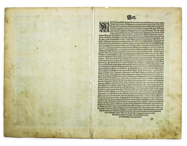
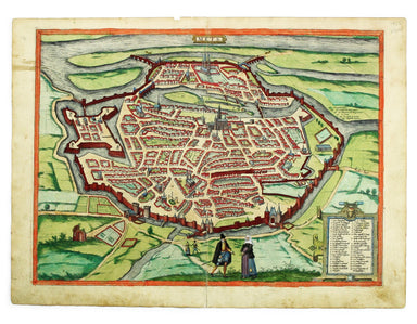
This plan of Metz in northeastern France is from the Civitates Orbis Terrarum, one of the most significant cartographic works of the late sixteenth...
View full details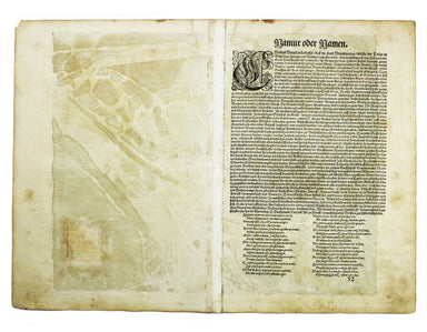
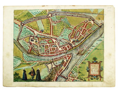
This plan of Namur in Belgium is from the Civitates Orbis Terrarum, one of the most significant cartographic works of the late sixteenth-century, p...
View full details
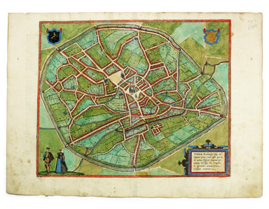
This plan of Tienen in Flanders is from the Civitates Orbis Terrarum, one of the most significant cartographic works of the late sixteenth-century,...
View full details
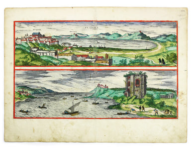
Views of two towns on the Bay of Naples, Pozzuoli and Baia, are here presented on one sheet. The Civitates Orbis Terrarum was one of the most signi...
View full details

Sheets 44E/44F: North Sumatra and part of Siam/Part of Siam, Malaya and East Sumatra For the highly classified production of Escape & Evasion m...
View full details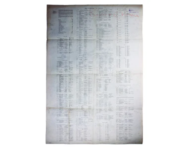
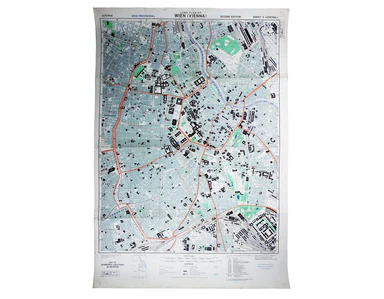
Town Plan of Wien (Vienna) – Second Edition –- Sheet 5 (Central) The Prater Park with its famous giant wheel is a fraction to the east of the city ...
View full details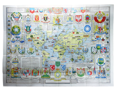
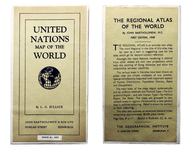
The United Nations was established in October 1945, and Bullock’s map is a joyful celebration of what promised to be a more effective successor to ...
View full details
The Central London Railway pioneered giving maps like this one to passengers free of charge, something which we now take for granted but which only...
View full details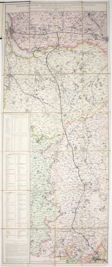
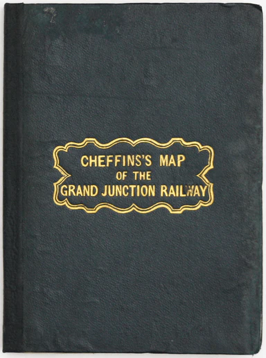
Map of the Grand Junction Railway and its Adjacent Country. [Copied by permission from the Company’s official map.] Shewing all the the stations on...
View full details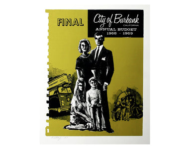
Signed limited edition screenprint Colour screenprint, sheet size 78 x 57.5 cms, signed by the artist and inscribed 'AP' (Artist’s Proof) in pencil...
View full details
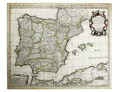
L’Espagne dressée sur la Description qui en a eté faite par Rodrigo Mendez Sylva… par G. de l’Isle/Nova Regni Hispaniae accurata descriptio… Thus ...
View full details

The Daily Mail Special Map Of The Far East Produced to illustrate the Russo-Japanese War, this map indicates Treaty Ports, dockyards and naval base...
View full details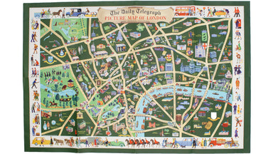
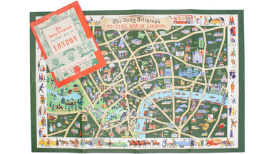
This pictorial map depicts various London ‘types’ in the borders, and shows the Royal Festival Hall (built for the 1951 Festival of Britain) and th...
View full details

The Daily Telegraph was one of a number of newspapers to sponsor London underground maps, like our example from 1919 which also includes the tramwa...
View full details

This map of the Dominion of Canada was made by John Bartholomew & Son for Dawson Brothers. It features insets of the environs of Montreal, New...
View full details
Signed limited edition screenprint Colour screenprint, sheet size 78 x 57.5 cms, signed by the artist and inscribed 'AP' (Artist’s Proof) in pencil...
View full details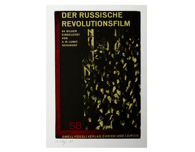
Signed limited edition screenprint Colour screenprint, sheet size 78 x 57.5 cms, signed by the artist and inscribed 'AP' (Artist’s Proof) in pencil...
View full details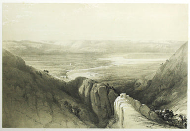
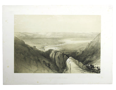
London: Day & Son for FG Moon, 1842-45. Tinted lithograph by Louis Haghe after Roberts, 33 x 48.5 cm, minor spotting. From the first edition o...
View full details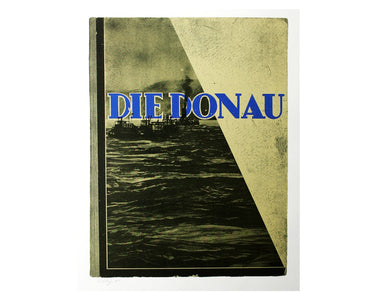
Signed limited edition screenprint Colour screenprint, sheet size 78 x 57.5 cms, signed by the artist and inscribed 'AP' (Artist’s Proof) in pencil...
View full details
