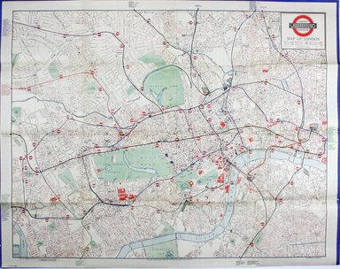
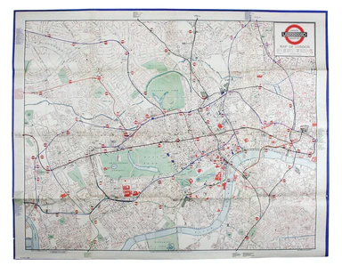
Bacon’s Map of Central Area Stations
The first edition of this map was printed in 1932 but the introduction of Beck's diagram in 1933 did not obviate the need for geographically accura...
View full details

The first edition of this map was printed in 1932 but the introduction of Beck's diagram in 1933 did not obviate the need for geographically accura...
View full details
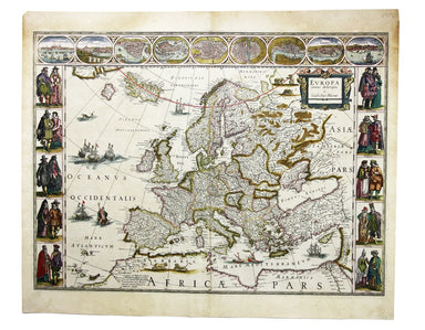
Blaeu's 'carte à figure' map of Europe features ten costume vignettes and nine city views around the edges with galleys, galleons, sea monsters, be...
View full details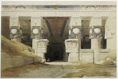
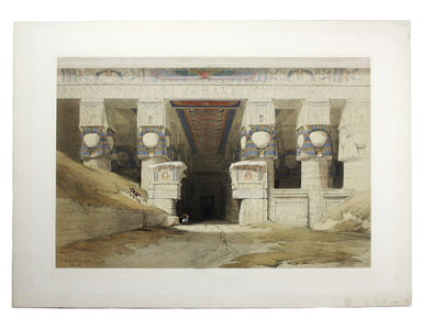
London: Day & Son for FG Moon, 1846-49. Subscribers’ edition. Lithograph by Louis Haghe after Roberts, 32.5 x 48.5 cm, with original hand col...
View full details
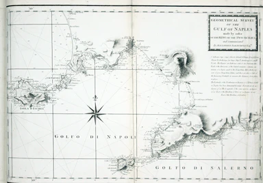
Faden, William: Le Petit Neptune Français; or, French Coasting Pilot, for the Coast of Flanders, Channel, Bay of Biscay, and Mediterranean. To whic...
View full details
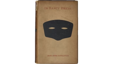
Presentation copy inscribed to Edmund Grosse. The Brotherton Library in Leeds possesses another copy, inscribed "From the author", and with Gosse's...
View full details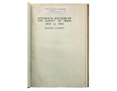
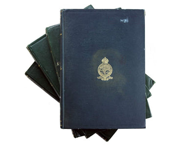
Phillimore, Colonel Reginald Henry: Historical Records of the Survey of India. Volumes 1 to 4... alas not including the suppressed fifth volume Col...
View full details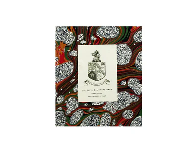
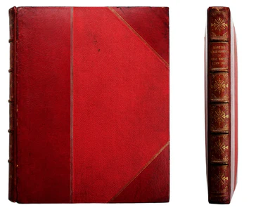
James Jenkins: The Martial Achievements Of Great Britain And Her Allies; From 1799 To 1815. London, printed for James Jenkins [...] by L. Harrison ...
View full details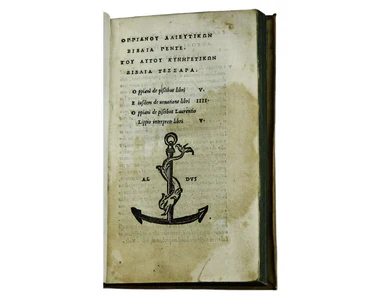
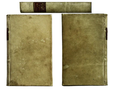
Oppian: [Greek title:] Alieutikwn biblia pente... Kynhgetikwn biblia tessara. Oppiani de piscibus libri V. Eiusdem de venatione libri IIII. Oppiani...
View full details

Celeberrima urbs Venetiae This bird's eye plan of the city of Venice and the larger islands is a revised and anonymous version of the Merian plan. ...
View full details
