£3,500.00


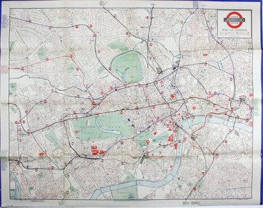
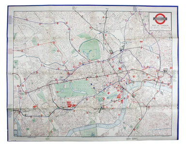
Bacon’s Map of Central Area Stations
Underground map of London Quad royal station wall map, 101.5 x 127 cm, printed in colours, blank verso; an extremely detailed map of central London...
View full detailsUnderground map of London Quad royal station wall map, 101.5 x 127 cm, printed in colours, blank verso; an extremely detailed map of central London...
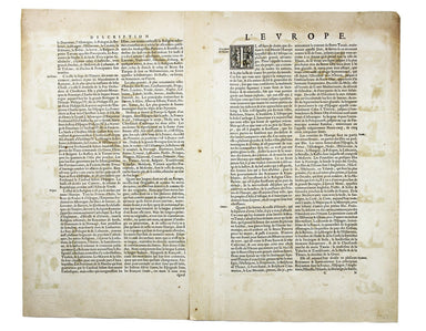
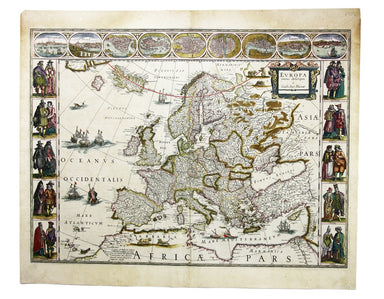
View full detailsEuropa recens descripta Copper engraving, 41.5 x 56 cm, original hand-colour, some oxidisation, French text on verso. Blaeu's 'carte à figure' map ...
View full detailsThis is a first edition of Charles Booth’s 1887 ‘Descriptive Map of East End Poverty, Compiled from School Board Reports’ The map Charles Booth’s p...
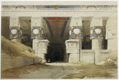
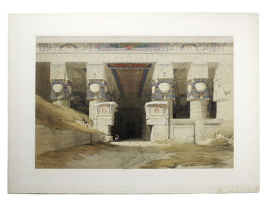
View full detailsLondon: Day & Son for FG Moon, 1846-49. Subscribers’ edition. Lithograph by Louis Haghe after Roberts, 32.5 x 48.5 cm, with original hand col...
View full details