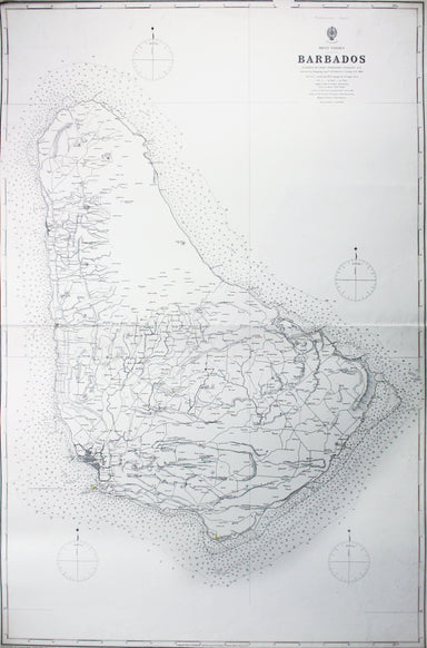
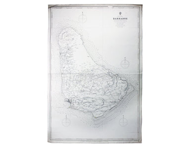
Admiralty Chart Barbados
Preliminary Chart – West Indies – Barbados This chart of Barbados shows sands and soundings etc, with interior detail of relief, roads and settleme...
View full details

Preliminary Chart – West Indies – Barbados This chart of Barbados shows sands and soundings etc, with interior detail of relief, roads and settleme...
View full details
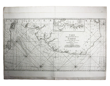
Carte de l’entrée de la Tamise, avec les Bancs, Passes, Isles et Costes comprises entre Sandwich et Clay This is a revised version of a chart which...
View full details
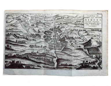
Vorstellung des Alten und Neven Athens, von dem Venetiani – schen Geographo Herrn Pat. Coronelli verzeichnet Coronelli’s plan retains features of t...
View full details
Late Theatre Services by Tramway is one of at least three posters designed by Haythorne for LCC Trams, the others being ‘Dull days made bright in t...
View full details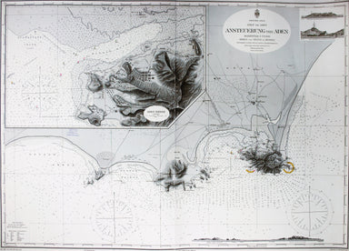
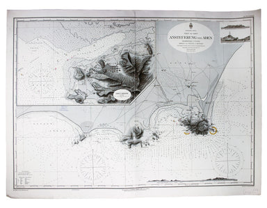
Indsicher Ozean – Golf von Aden – Ansteuerung von Aden This German naval chart of Aden shows breakwaters and lights highlighted in colour. It detai...
View full details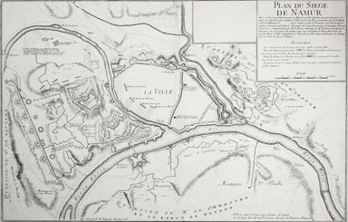
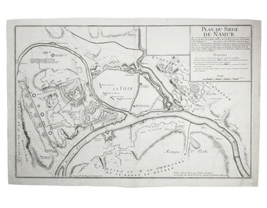
Plan du Siege de Namur avec les nouveaux travaux que sa Majesté y a fait adjouter qui sont marquees à la lettre A. Cette place fut reduitte à l’obb...
View full details
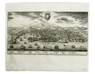
This plan of Genoa was published by Merian and his heirs in various works, including the Itinerarium Italiae of 1640 and editions of the Theatrum E...
View full details
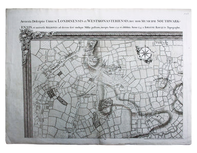
Environs of Wembley from Rocque’s ‘An Exact Survey of the City’s of London, Westminster, ye Borough of Southwark and the Country Near Ten Miles Rou...
View full details
