£600.00

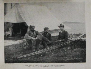
A Shooting Trip in the Russian Far East
A Shooting Trip to Kamchatka The immensely wealthy Count Elim Pavlovich Demidov, third Prince of San Donato, was the Russian Empire's last ambassad...
View full details


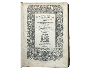
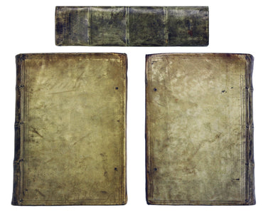
![Freind’s Medical Works [Latin edition]](http://bryarsandbryars.co.uk/cdn/shop/products/7688i_384x299.jpg?v=1628609613)
![Freind’s Medical Works [Latin edition]](http://bryarsandbryars.co.uk/cdn/shop/products/7688_384x299.jpg?v=1628609613)