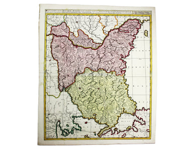
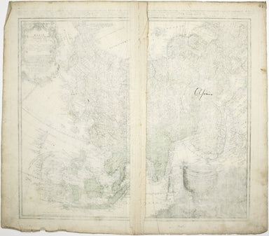
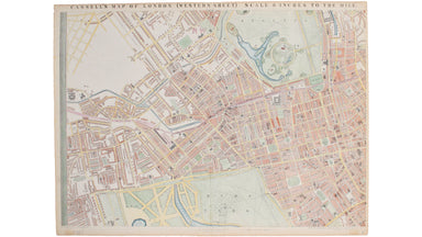
UERL 1909 Common Design Passenger Map
The earliest versions of this map advertised the Franco-British Exhibition which closed at the end of October 1908, marked here as ‘Exhibition’. In...
View full details
The earliest versions of this map advertised the Franco-British Exhibition which closed at the end of October 1908, marked here as ‘Exhibition’. In...
View full details
This iteration of the UERL common design marks George Philip & Son’s first official map for the Underground Group; the firm had designed the fi...
View full details
Bulgaria et Romania: divisa in singulares sangiacatus Silistriam, Nicopolin, Bodinum, Sardiam, Bysantium, Kirkeliam et Gallipolin, una cum finitimi...
View full details
This map of the continent of Asia was prepared for the Homann firm by Johann Matthias Hase, professor of mathematics in Wittemberg, on his stereogr...
View full details
Opera In tres Tomos divisa, Cum integris Notis Servii, Philargyrii, nec non J. Pierii Variis Lectionibus, & Selectissimis plerisque Commentarii...
View full details
Portus Pulchri in Isthmo Panamensi [with] Scenographia Portus Pulchri This is a plan and view of the successful British attack on the wealthy and s...
View full details
Cassell's 'immense map' of London was prepared for the Weekly Dispatch and published in nine parts between January 1861 and April 1862. This exampl...
View full details