£650.00
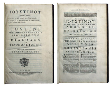
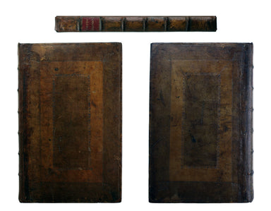
Justinus' Apologiae
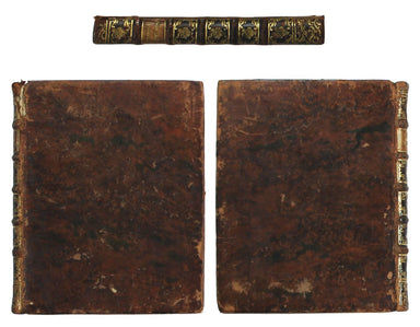
Apologiae Duae et Diologus cum Tryphone Judeo. Cum notis & emandationibus Styani Thirlbii. Londini [London]: Impensis Richardi Sare [...] 1722....
View full details