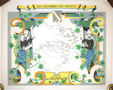
£650.00
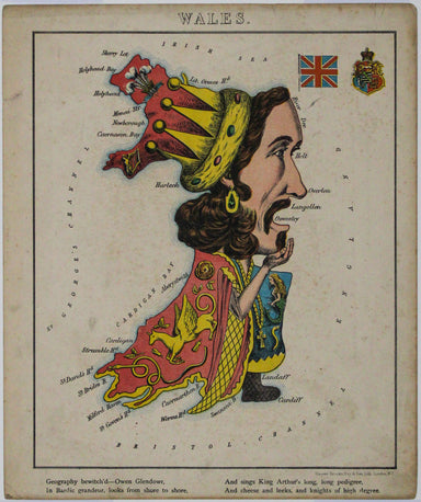
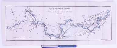
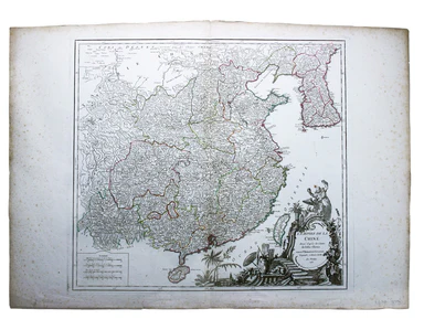
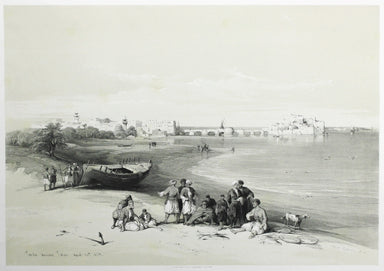
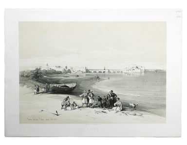
Aleph's Caricature Map of Ireland
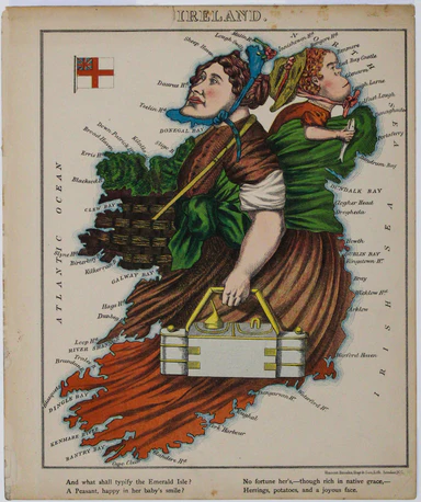
This anthropomorphic map of Ireland was published in “Geographical Fun: Being Humorous Outlines of Various Countries”. Though credited on the title...
View full details