

Beck's 1934 Passenger Map, No.2
This issue of Beck’s 1934 map saw a slight increase in size of the card folder given away to passengers. Beck’s diagram is one of the most innovat...
View full details

This issue of Beck’s 1934 map saw a slight increase in size of the card folder given away to passengers. Beck’s diagram is one of the most innovat...
View full details
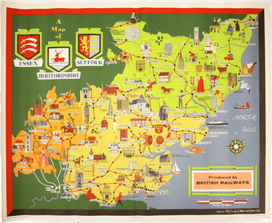
This pictorial map grouping the three counties northeast of London was published by British Railways (Eastern Region) to promote leisure travel jus...
View full details
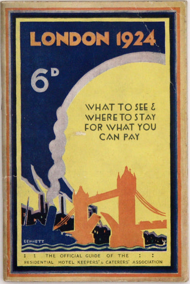
MacDonald Gill, brother of Eric, was a successful commercial artist in his own right, and a noted calligrapher who designed the font used on all he...
View full details
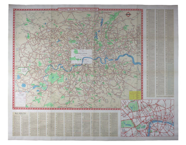
Clang, clang, clang went the trolley… Trolleybus services were introduced to London in 1931 and phased out between 1954 and 1962, making this one o...
View full details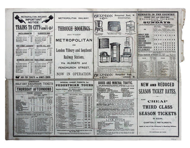
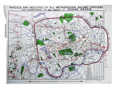
Map with lines showing the boundary for free collection and delivery of parcels and passengers’ luggage The main map shows central London, includin...
View full details

This is the Summer 1928 issue of this portrait format map of the London underground, issued 1928-29. The style of the lines, stations and intercha...
View full details
