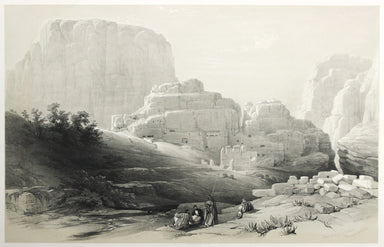
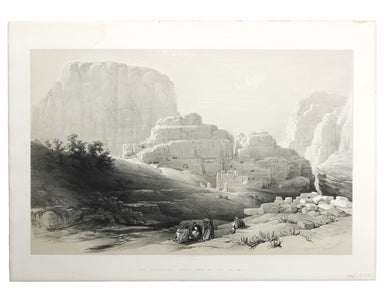
Acropolis, Lower End of the Valley of Petra
London: Day & Son for FG Moon, 1842-45. Tinted lithograph by Louis Haghe after Roberts, 33.5 x 53 cm, slight marginal waterstaining. From the ...
View full details

London: Day & Son for FG Moon, 1842-45. Tinted lithograph by Louis Haghe after Roberts, 33.5 x 53 cm, slight marginal waterstaining. From the ...
View full details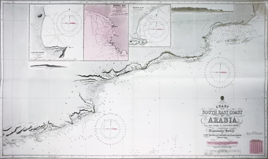
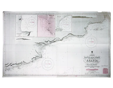
Chart of the South East Coast of Arabia from Ras Sukra to Palinurus Shoal, compiled from trigonometric Surveys First published in 1860 with correct...
View full details

This map of the environs of Edinburgh was published a decade before Ainslie’s landmark nine sheet map of Scotland. Originally published in 1778, th...
View full details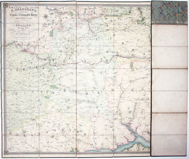
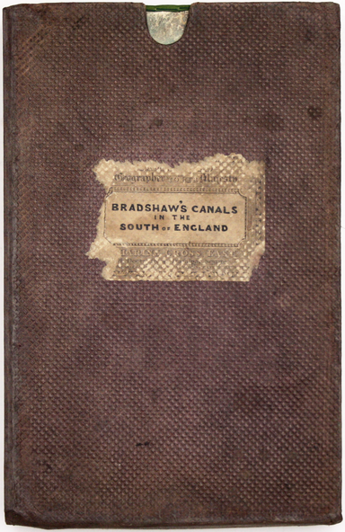
G. Bradshaw’s Map of Canals, Navigable Rivers, Rail Roads etc. in the Southern Counties of England. From actual survey shewing heights of the ponds...
View full details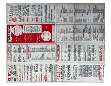
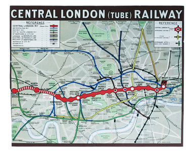
This Central London Railway map is similar in style to the UERL common design which had been in circulation since 1908, although with a chocolate r...
View full details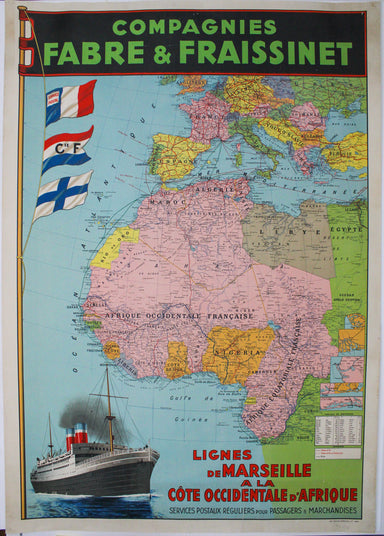
This route map advertises passenger, postal and cargo steamship services between Marseille and West Africa. The SS Canada was built for the Fabre L...
View full details
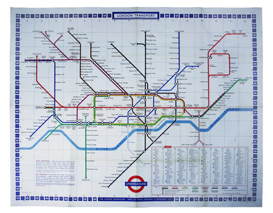
Garbutt believed he had ‘rescued’ the London Underground map from the clutches of Harold Hutchison and his ‘ham-fisted parody’ of Beck’s designs. H...
View full details
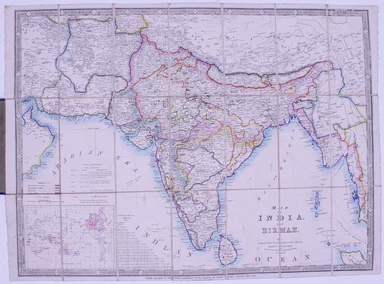
Map of India and Birmah This map of India and Burma features an inset location map with British possessions coloured red, next to a distance table...
View full details
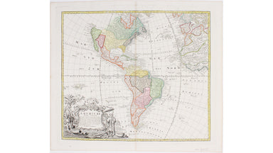
Our map of the Americas was prepared for the Homann firm by Johann Matthias Hase, professor of mathematics in Wittenberg, on his stereographic hori...
View full details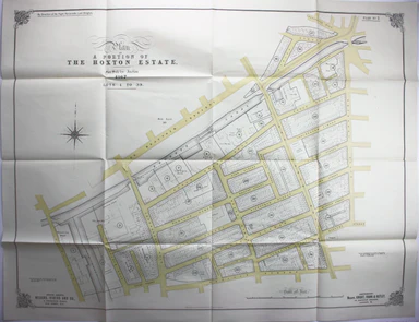
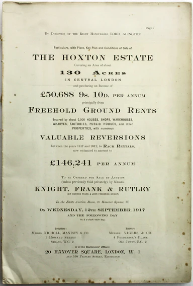
Particulars, with Plans, Key Plan and Conditions of Sale of the Hoxton Estate The Hoxton estate passed by marriage from the Pitfield to the Sturt f...
View full details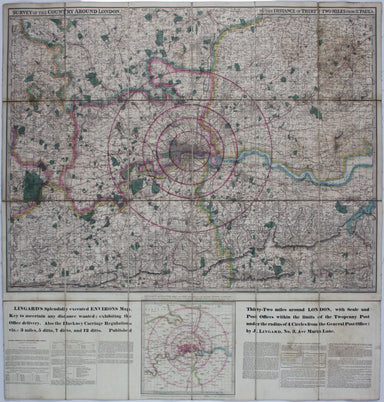
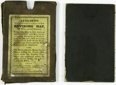
Survey of the country around London to the distance of thirty two miles from St Paul’s The map extends between Ware and Chatham, Bray and Dorking. ...
View full details

This map of Malaya has an inset regional map locating Malaya in the context of ‘adjacent terrritories’. A previous owner of this, map Lieutenant D...
View full details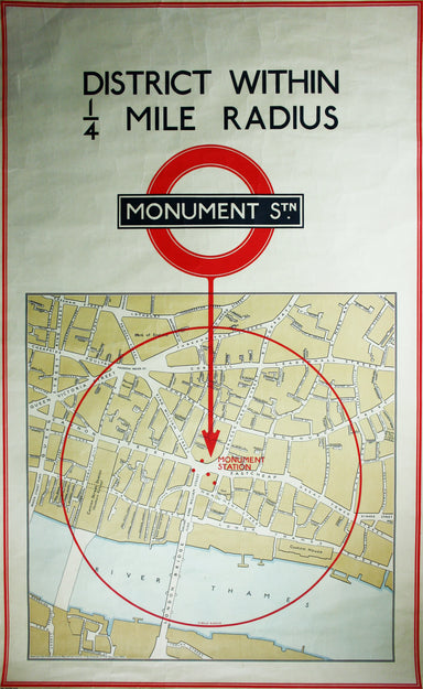
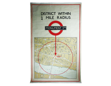
District within ¼ mile radius [of] Monument Stanford’s was a firm of map publishers as well as map retailers until after the Second World War, with...
View full details
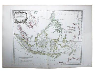
Archipel des Indes Orientales, qui comprend les Isles de la Sonde, Moluques et Philippines, tirées des Cartes du Neptune Oriental This map of Indon...
View full details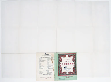
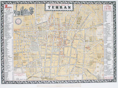
This map of Tehran features a legend in the borders listing 218 places of interest in the pre-Revolutionary city. The mapmaker’s own premises are i...
View full details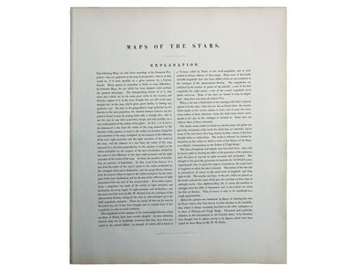
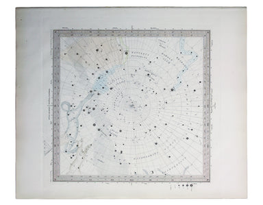
The Stars in Six Maps, on the the Gnomonic Projection, revised by the Rev. WR Dawes These star charts show allegorical images of the various conste...
View full details

The May 1925 issue of Stingemore’s passenger map shows Wembley Exhibition Grounds, and its covers advertise the number of escalators and other amen...
View full details
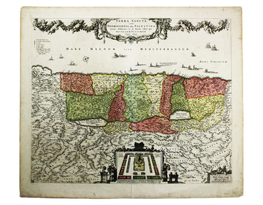
Terra Sancta, sive Promissionis, olim Palestina recens delineata, et in lucem edita per Nicolaum Visscher… Visscher’s influential map of the Holy L...
View full details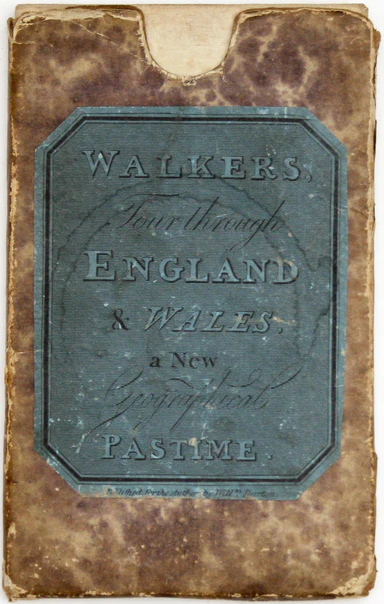
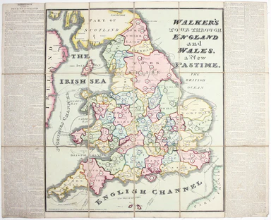
A New Geographical Pastime: Walker’s Tour through England and Wales Most games of this nature were educational, and in this case players learn as t...
View full details
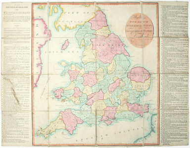
A New Geographical Pastime The elder John Wallis (c. 1745-1818) recovered from bankruptcy to become one of the major publishers of children’s games...
View full details
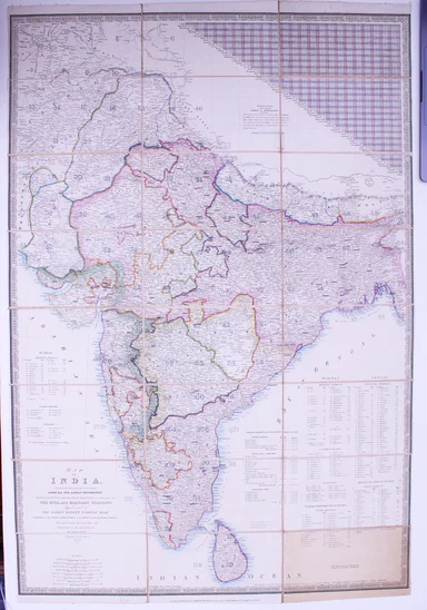
Map of India, constructed with great care and research from all the Latest Authorities and intended more particularly to facilitate a reference to ...
View full details
