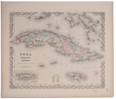
Colton's Map of Cuba
This is one of the most detailed mid-19th Century American atlas maps of Cuba and the region, set within Colton’s distinctive style of border, by o...
View full details

This is one of the most detailed mid-19th Century American atlas maps of Cuba and the region, set within Colton’s distinctive style of border, by o...
View full details
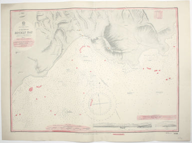
West Indies – Tobago – Scarborough – Rockly Bay This chart of Rockly Bay shows soundings etc, with interior detail of relief, roads and settlements...
View full details
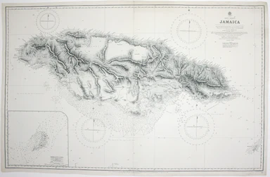
This chart of Jamaica shows soundings etc, with interior detail of relief, roads and settlements, and an inset of Morant Cays. First published in 1...
View full details
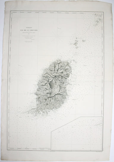
Antilles – Ile de la Grenade This detailed chart of Grenada was derived from British Admiralty surveys. Condition & Materials French naval char...
View full details
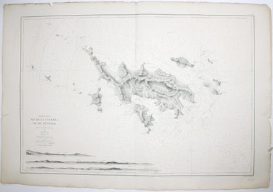
Antilles – Ile de Culebra ou du Passage This detailed chart of Isla Culebra (now an island-municipality of Puerto Rico) was derived from British Ad...
View full details
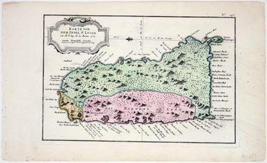
Karte von der Insel St Lucia This map of the Caribbean island of St Lucia was published in the Dutch edition of Prévost's Histoire Générale des Voy...
View full details
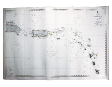
West Indien – Haïti bis Martinique This Imperial German Naval Office chart shows sands, soundings and interior detail of relief. Condition & Ma...
View full details
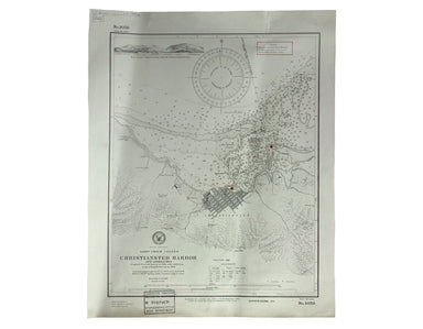
West Indies – St Croix Island – Christiansted Harbour This is a US naval chart of Christiansted, the largest town on St Croix in the United States ...
View full details
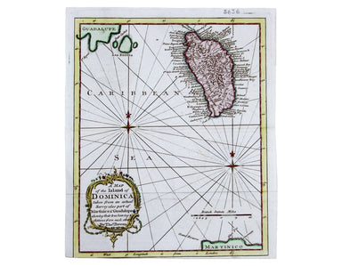
This map of Dominica is from 'The Gentleman's Magazine'. It was published after the French recaptured the island during the Anglo-French War of 177...
View full details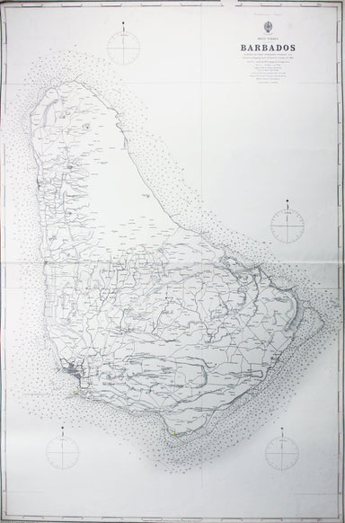
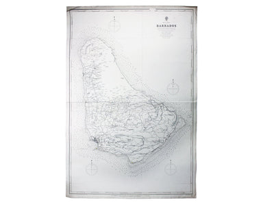
Preliminary Chart – West Indies – Barbados This chart of Barbados shows sands and soundings etc, with interior detail of relief, roads and settleme...
View full details
