

Maitland's Ward Plan of Westminster
A New and Accurate Map of the City of Westminster, the Dutchy of Lancaster and Places Adjacent This ward plan of Westminster was engraved by Benjam...
View full details

A New and Accurate Map of the City of Westminster, the Dutchy of Lancaster and Places Adjacent This ward plan of Westminster was engraved by Benjam...
View full details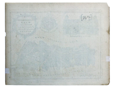
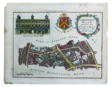
Limestreet Ward divided into Parishes according to a late Survey Possibly engraved by Thomas Bowen and first published in the London Magazine, this...
View full details
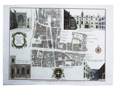
Cheap Ward with its Divisions into Parishes according to a New Survey This ward plan of Cheap was published in the greatly expanded second edition ...
View full details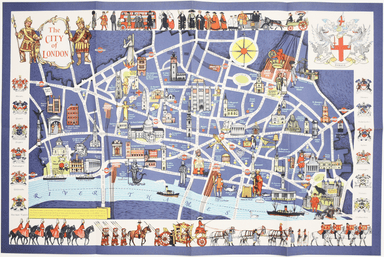
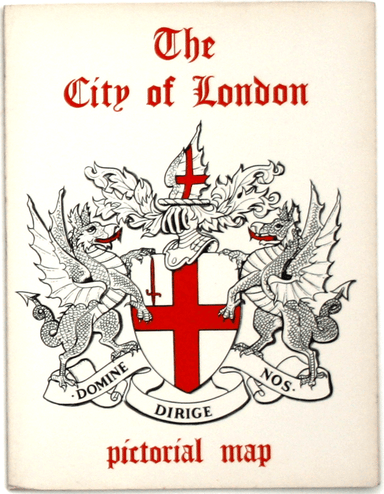
Mary Sims and Mary Camidge, both signing as 'of Maps and Guides, Ltd', each produced posters for British Railways (Eastern Region) in 1960. They th...
View full details
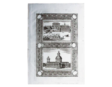
This view is from 'Isolario dell'Atlante Veneto', perhaps the last of the great Italian ‘island books’. If Coronelli’s St Paul’s differs somewhat f...
View full details
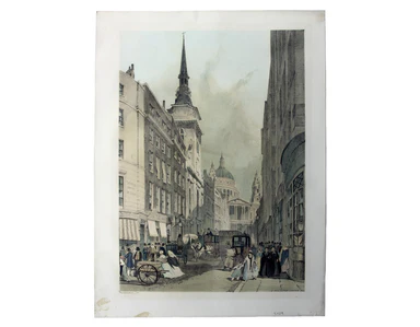
‘London as it is’ was printed for Boys by the pioneering lithographer Charles Hullmandel in two distinct versions: ours was originally sepia tinted...
View full details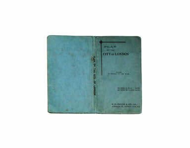
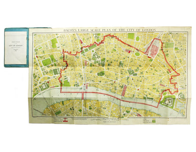
Bacon’s large scale plan of the City of London Condition & Materials Folding map, 42.5 x 71 cm, printed in colours, laid on linen as issued, a ...
View full details
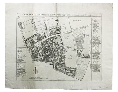
John Stow's A Survey of the Cities of London and Westminster was originally published in 1598 and 1603, but revised and expanded works under his na...
View full details
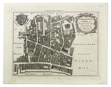
Condition & Materials Copper engraving, 19 x 25 cm, recent hand-colour, blank verso; a plan of Tower Ward published in Noorthouck’s History of ...
View full details
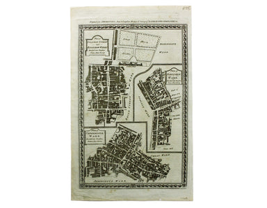
Plan of Coleman Street and Bassishaw Wards; Plan of Portsoken Ward; Plan of Cripplegate Ward Condition & Materials Copper engraving, 34 x 22 cm...
View full details
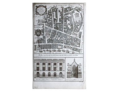
Tower Street Ward with their [sic] divisions into Parishes according to a new survey This plan of Tower Street was published in the greatly expande...
View full details
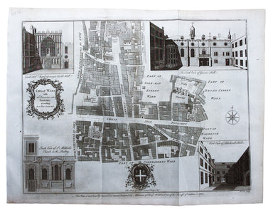
Cheap Ward with its divisions into Parishes according to a new survey This ward plan of Cheap was published in the greatly expanded second edition ...
View full details
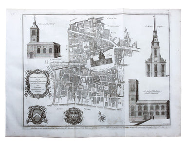
Baynard’s Castle Ward [and] Faringdon Ward with their divisions into Parishes according to a new survey This was plan of Baynard’s Castle and Farin...
View full details
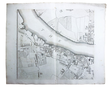
Sheet C4 from Horwood’s ‘Plan of the Cities of London and Westminster…’ Horwood’s plan is a landmark in London mapping on a number of counts. It wa...
View full details
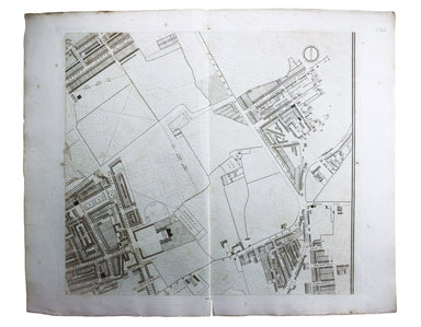
Sheet C1 from Horwood’s ‘Plan of the Cities of London and Westminster…’ Horwood’s plan is a landmark in London mapping on a number of counts. It wa...
View full details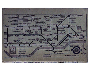
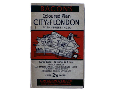
Bacon’s Large Scale Plan of the City of London –Bacon’s Coloured Plan of the City of London… “Blitzed” areas shown A highly detailed map of London ...
View full details
