Sims’ Pictorial Map of London
SKU: 9314
Title:
Sims’ Pictorial Map of London
Date of publication:
Printed Measurement:
Publisher:
Colour:
Mapmaker:
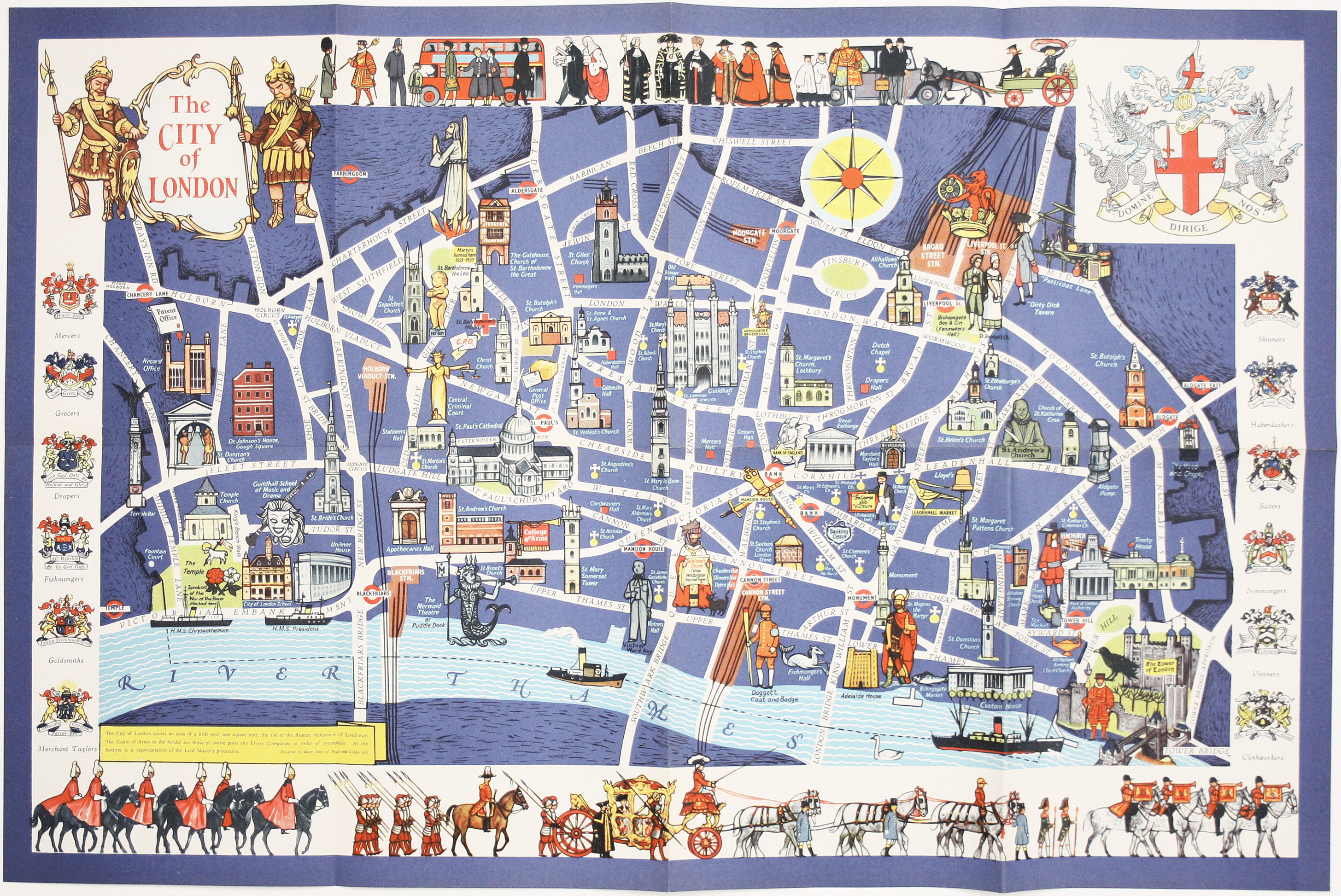
Mary Sims and Mary Camidge, both signing as 'of Maps and Guides, Ltd', each produced posters for British Railways (Eastern Region) in 1960. They then collaborated on the illustration of a number of children's books in the 1960s and 1970s, for example: Behold the Land: a Pictorial Atlas of the Bible (1963); Founders of Europe (1964); Peoples of the World in Colour (1964); The New Testament and its Background' (1977) and Antique Personal Possessions to Collect (1980).
In 1977 Mary Sims and Mary Camidge established the Portman Bookstore, Portman House, Brodrick Road, SW17. Despite the name it wasn't an open shop: it was listed in Sheppard's directory of book-dealers as private premises, open by appointment. The business specialised in children's and illustrated books, 'annuals, comics and cinema'. Mary Camidge was still listed, though alone, in the 1995 edition. Read more
Condition & materials
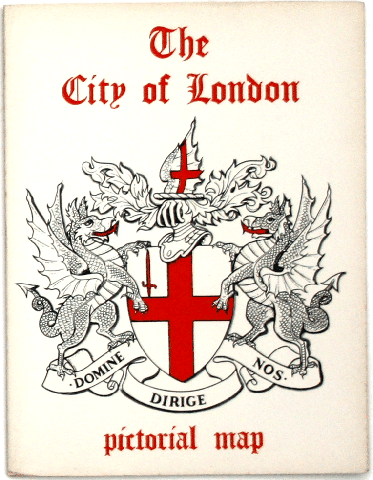
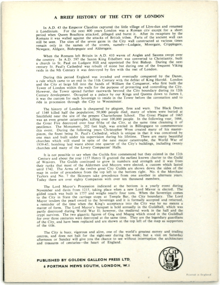
Pictorial map of London, 45.5 x 69 cm, printed in colours, blank verso; folding into original printed wrappers, with the City coat of arms on the front and a brief history on the back. The map features the British Railways 'lion and wheel' crest in use 1956-1965, and the Mermaid Theatre at Puddle Dock, which opened in 1959. Read less


