

Kerry Lee's Pictorial Map of London - Festival of Britain edition
London, the Bastion of Liberty On returning to Blandford Studio in 1946 after his war service with the Air Ministry, Kerry Lee spent six months wor...
View full details

London, the Bastion of Liberty On returning to Blandford Studio in 1946 after his war service with the Air Ministry, Kerry Lee spent six months wor...
View full details

Souvenir Map of the Coronation procession May 12th, 1937. This decorated Map is drawn to mark the Royal Procession of Their Majesties Coronation......
View full details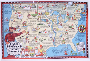
Paul Bunyan's pictorial map of the United States depicting some of his deeds and exploits Stories about Paul Bunyan, the lumberjack of gigantic pr...
View full details

This pictorial route map of the Devon General by an anonymous draughtsman for the principal bus operator in south Devon makes playful references to...
View full details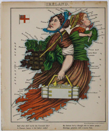
This anthropomorphic map of Ireland was published in “Geographical Fun: Being Humorous Outlines of Various Countries”. Though credited on the title...
View full details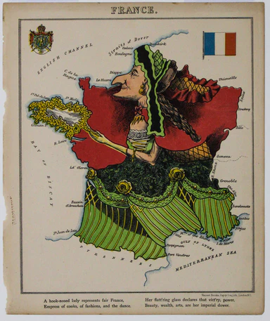
Though credited on the title-page under his pen-name ‘Aleph’, William Harvey himself gives all the credit for this series of comic maps to a “young...
View full details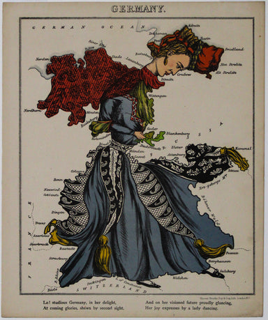
Though credited on the title-page under his pen-name ‘Aleph’, William Harvey himself gives all the credit for this series of comic maps to a “young...
View full details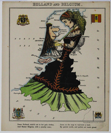
Thus anthropomorphic map of Holland and Belgium was published in “Geographical Fun: Being Humorous Outlines of Various Countries.”. Though credited...
View full details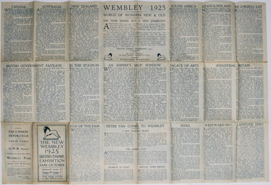
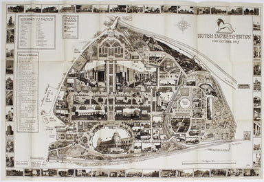
The British Empire Exhibition originally ran between April and November 1924, but it was not a financial success, and the decision was taken to reo...
View full details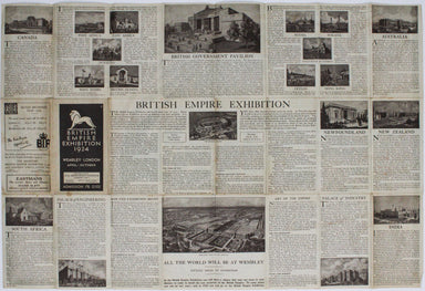
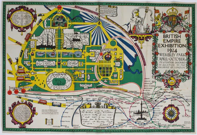
The British Empire Exhibition was, at the time, the largest exhibition staged anywhere in the world; a high profile, postwar statement of confidenc...
View full details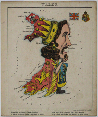
This anthropomorphic map depicting Wales as "Owen Glendowr, in Bardic grandeur" is from 'Geographical Fun: Being Humorous Outlines of Various Count...
View full details
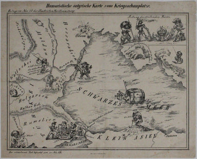
Humoristiche satyrische Karte von Kriegsschauplatze This Austrian pictorial map satirising the Crimean War was published in July 1854 in No. 55 the...
View full details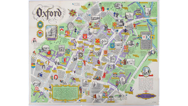
This pictorial plan of central Oxford was printed for the recently nationalised British Railways (Western Region). The arms of the University and t...
View full details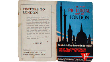
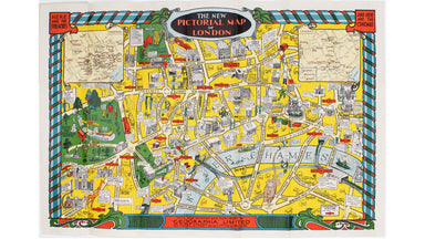
This pictorial map of London is generally dated 1931 in institutional catalogues, but here Geographia’s date-code for November 1934 is worked into ...
View full details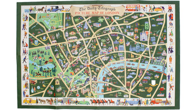
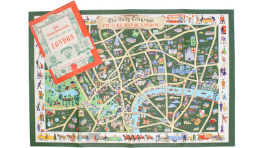
This pictorial map depicts various London ‘types’ in the borders, and shows the Royal Festival Hall (built for the 1951 Festival of Britain) and th...
View full details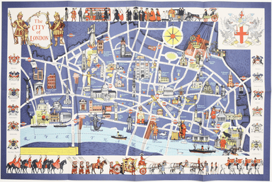
Mary Sims and Mary Camidge, both signing as 'of Maps and Guides, Ltd', each produced posters for British Railways (Eastern Region) in 1960. They th...
View full details
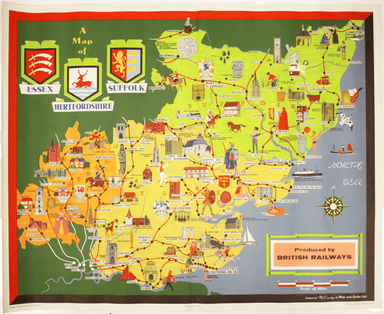
This pictorial map grouping the three counties northeast of London was published by British Railways (Eastern Region) to promote leisure travel jus...
View full details
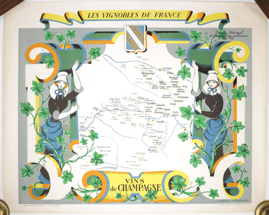
Les Vignobles de France – Vins de Champagne Government and national wine trade bodies sponsored Louis Larmat’s regional wine atlases in the 1940s a...
View full details
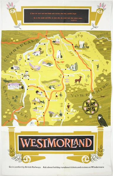
If thou art worn and hard beset with sorrows that thou wouldst forget… Go to the woods and hills; no tears dim the sweet look that nature wears. He...
View full details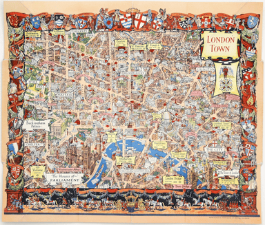
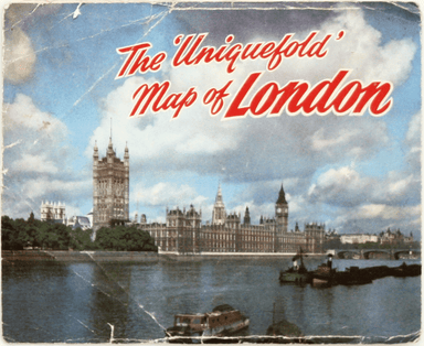
This pictorial map of London employs an unusual form of Turkish fold which makes use of inclined folding lines. The map is a simplified pocket vers...
View full details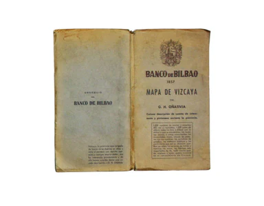
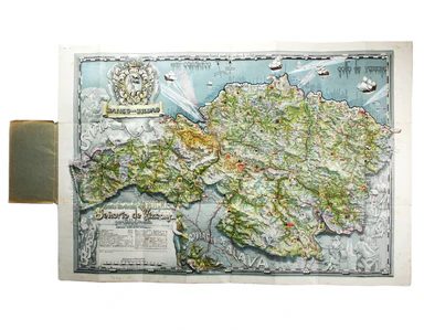
Carta ilustrada del Muy Noble y Muy Leal Señorio de Vizcaya This map was published to mark the centenary of the Banco de Bilbao, one of the big fou...
View full details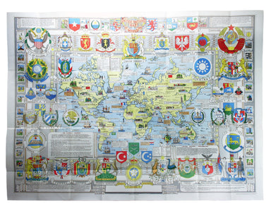
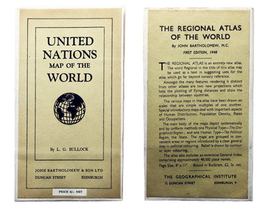
The United Nations was established in October 1945, and Bullock’s map is a joyful celebration of what promised to be a more effective successor to ...
View full details
