£575.00
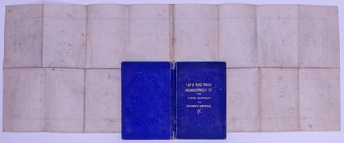
Bryant's Folding Map of the Thames
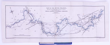
Map of the River Thames, shewing locks, bridges, adjacent roads & railways, drawn expressly for the Rowing Almanack & Oarsman’s Companion T...
View full detailsMap of the River Thames, shewing locks, bridges, adjacent roads & railways, drawn expressly for the Rowing Almanack & Oarsman’s Companion T...
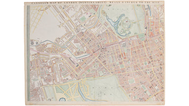
View full detailsCassell's 'immense map' of London was prepared for the Weekly Dispatch and published in nine parts between January 1861 and April 1862. This exampl...
View full details