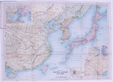
Bacon's Russo-Japanese War Map
Map of China, Japan and Korea. / [Cover title:] The Eastern Crisis. Bacon's large-scale map of Japan, Korea, China, Manchuria Produced to illustrat...
View full details

Map of China, Japan and Korea. / [Cover title:] The Eastern Crisis. Bacon's large-scale map of Japan, Korea, China, Manchuria Produced to illustrat...
View full details

Plan du Port et de la Ville de Nangasaki This is a plan of the port city of Nagaski, one of Japan’s chief points of contact with the outside world ...
View full details

Carte de Isles du Japont et la presqu' Isle de Coree avec les costes de la Chine depuis Pekin jusqua Canton . . . Bellin compiled maps like this on...
View full details

The Daily Mail Special Map Of The Far East Produced to illustrate the Russo-Japanese War, this map indicates Treaty Ports, dockyards and naval base...
View full details
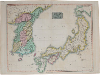
John Thomson's map of Korea and Japan was engraved by John and George Menzies in 1814 and published in his ‘New General Atlas’ in 1815. Walter sugg...
View full details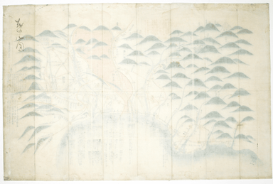
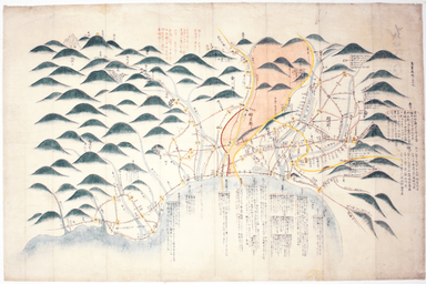
The focus of this map is Toyama, a significant sea-port in what was once Etchu province on Honshu. On stylistic grounds the map appears to date fro...
View full details
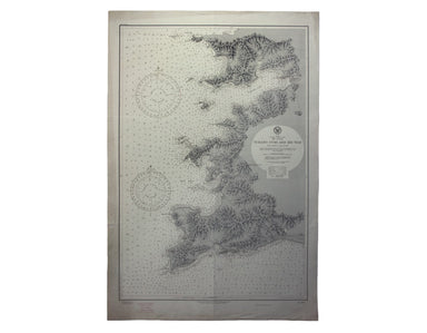
Japan – Honshu – South Coast – Kii Suido – Yurano Uchi and Hii Wan This sea chart covers a stretch of coastline to the south of Osaka and Wakayama ...
View full details
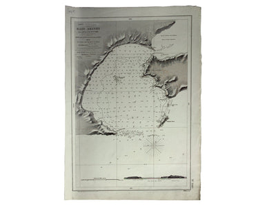
Japón – Cote Est de Yesso – Baie Akishi This is a French chart of Akkeshi Bay, located in Kushiro Subprefecture on the east coast of Hokkaido, the ...
View full details
