Anonymous Map of Middlesex
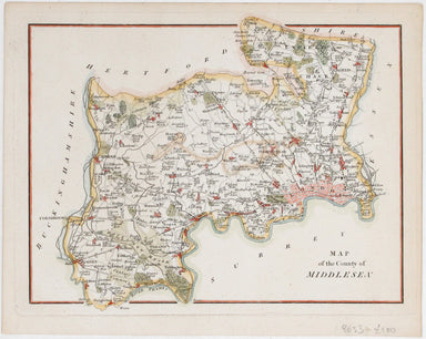
This attractive, detailed map of the county of Middlesex is unsigned; as yet, we have been unable to identify the engraver. Do feel free to write t...
View full details

This attractive, detailed map of the county of Middlesex is unsigned; as yet, we have been unable to identify the engraver. Do feel free to write t...
View full details
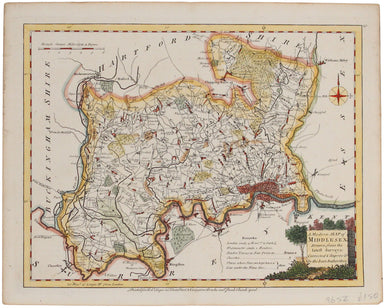
Ellis' map of Middlesex conveys a wealth of detailed information: borough towns are shown with stars identifying the number of Members returned to ...
View full details
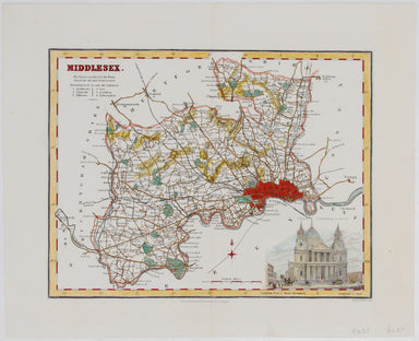
This map of Middlesex included a vignette of St. Paul's Cathedral. It was published in James Bell’s 'New and Comprehensive Gazetteer of England and...
View full details
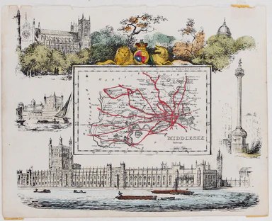
This map of Middlesex was published in Reuben Ramble's ‘Travels through the Counties of England’, an uncommon county atlas for children. Reuben Ram...
View full details
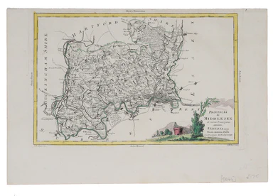
This map of Middlesex was engraved by Giuliano Zuliano after Giovanni Pitteri and published in Antonia Zatta's ‘Atlante Novissimo’. This was his ...
View full details
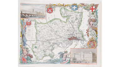
This map of Middlesex is illustrated with vignettes of Buckingham Palace (before its early 20th century re-modelling) and the ‘new’ Houses of Parli...
View full details
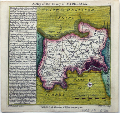
This map of Middlesex was engraved by Toms for Thomas Badeslade’s ‘Chorographia Britanniae’, an attractive pocket atlas which according to Badeslad...
View full details
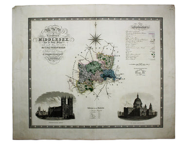
Map of the County of Middlesex from an Actual Survey The Greenwood brothers were land-surveyors from Yorkshire who compiled one of the last indepen...
View full details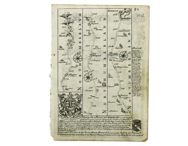
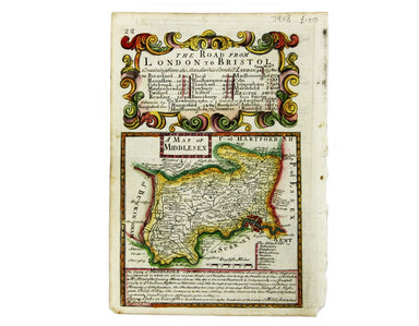
This map of Middlesex was engraved by Emanuel Bowen for John Owen’s Britannia Depicta, a pocket road book derived from Ogilby’s innovative atlas of...
View full details
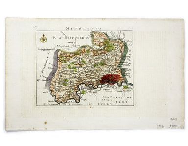
This map of Middlesex was first published in 1746 to accompany Thomas Read’s English Traveller. The the plates were acquired by John Rocque and re-...
View full details
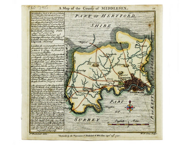
Condition & Materials Copper engraving, 15.5 x 15.5 cm, modern hand-colour, blank verso; a map of Middlesex engraved by Toms for Thomas Badesla...
View full details
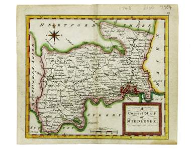
This map of Middlesex was published in Geographia Magnae Britanniae, or, Correct Maps of all the Counties in England, Scotland and Wales. It was pr...
View full details
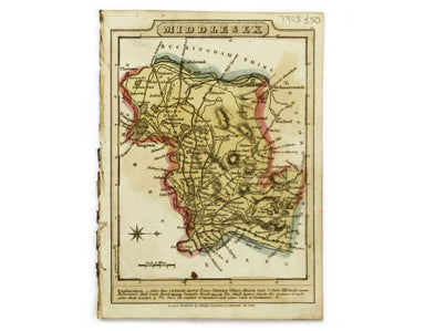
This map of Middlesex is from Wallis' Pocket Edition of the English Counties. James Wallis (fl. 1810-1825) was born in Southampton in 1784, the son...
View full details
