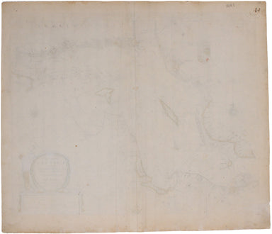
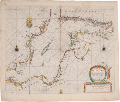
Goos' Sea Chart of the Baltic
Pas-Caart van de Oost Zee Verthoonende alle de Ghelegentheydt tusschen t'Eylandt Rugen ende Wyborg From one of the finest Dutch marine atlases of t...
View full details

Pas-Caart van de Oost Zee Verthoonende alle de Ghelegentheydt tusschen t'Eylandt Rugen ende Wyborg From one of the finest Dutch marine atlases of t...
View full details

Pomerania, running along the Baltic coast between Rostock and Gdansk, is now divided between Germany and Poland. The 'Atlas Minor’ was a pocket atl...
View full details
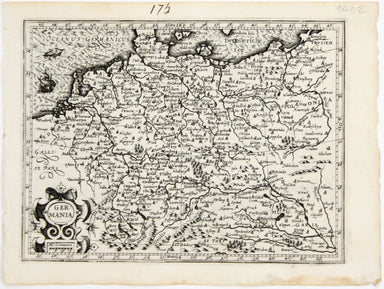
This map shows the ‘Germanic’ regions of Europe, including the Low Countries, Poland and Austria, and was engraved by Jodocus Hondius for the ‘Atla...
View full details
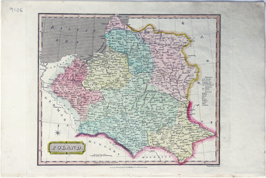
This map of Poland was published in ‘Oddy’s New General Atlas of the World’. It is coloured according to the third partition of 1795, by which the ...
View full details
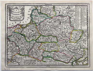
Les estats de la Couronne de Pologne This map of the Crown of the Kingdom of Poland was published in Chiquet’s ‘Le nouveau et curieux atlas géograp...
View full details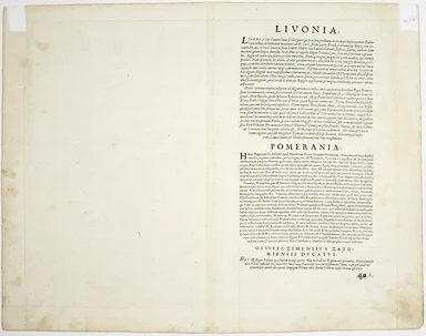
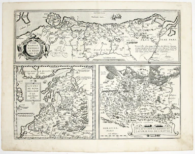
Pomeraniae Wandalicae Regionis Typ. [on sheet with] Livoniae Nova descriptio [and] Ducatus Oswieczensis et Zatoriensis Descriptio An early example ...
View full details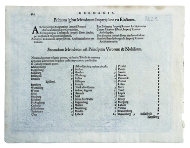
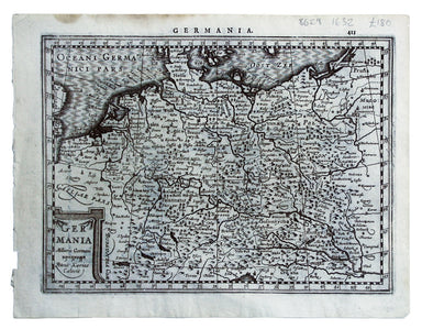
This map shows the ‘Germanic’ regions of Europe, including the Low Countries, Poland and Austria, engraved by Pieter van den Keere. The 'Atlas Mino...
View full details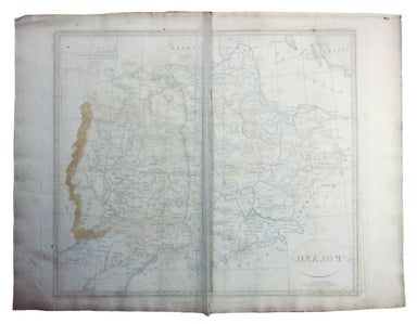
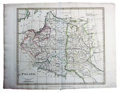
This map of Poland was engraved by Samuel John Neele for the atlas volume to ‘Cruttwell’s Gazeteer’, published by G & JJ Robinson. Condition &a...
View full details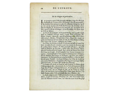
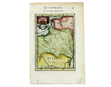
This map of Poland is from Mallet’s Description de l’Univers. Condition & Materials Copper engraving, 14.5 x 10.5 cm, recent hand-colour, Fren...
View full details
