

British Military Map of Harry Lime’s Vienna
SKU: 8475
Title:
British Military Map of Harry Lime’s Vienna
Date of publication:
Printed Measurement:
Publisher:
Colour:
Mapmaker:
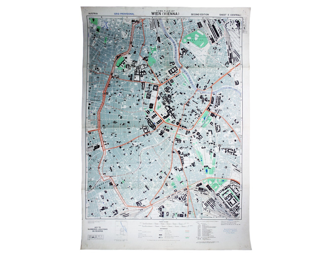
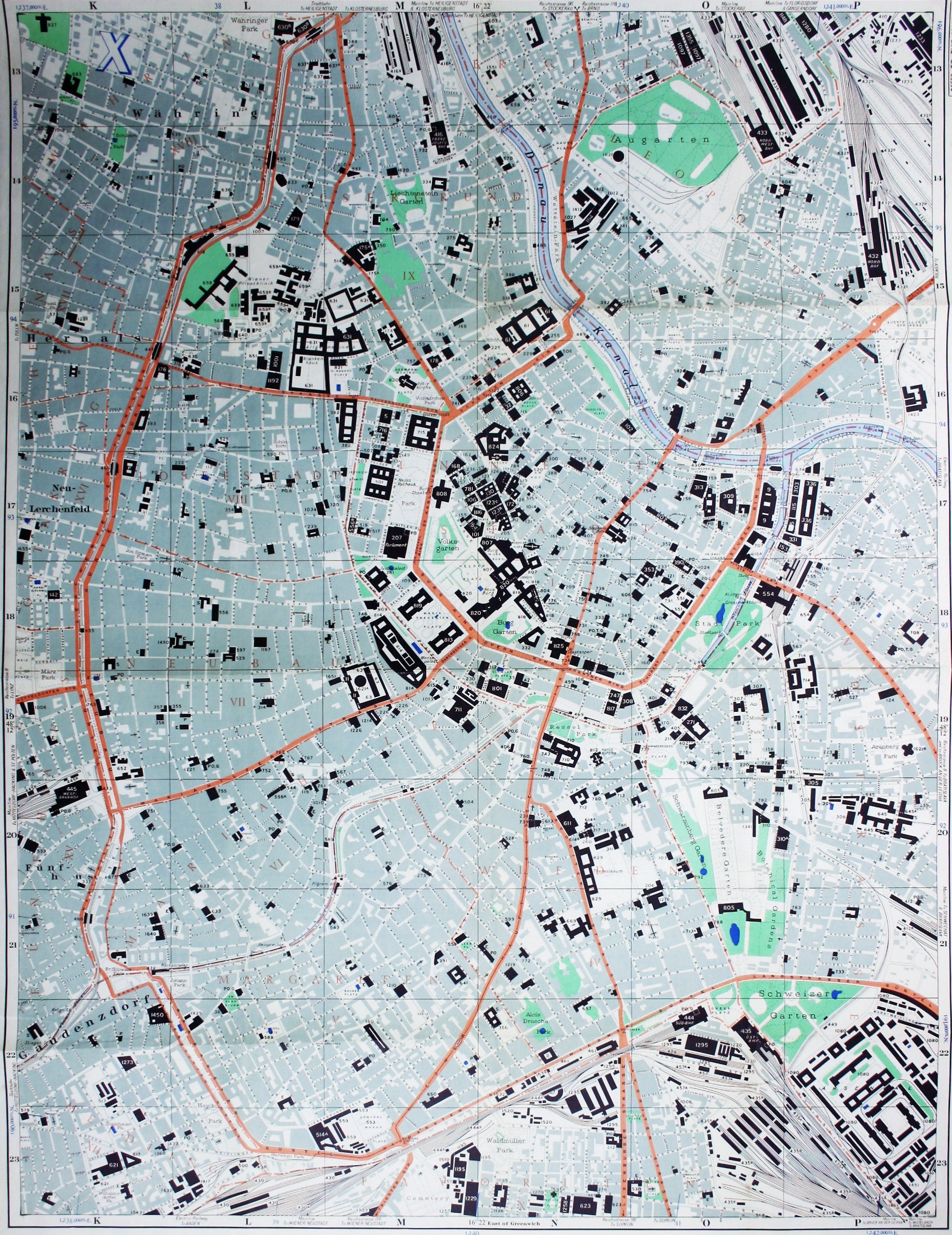
Town Plan of Wien (Vienna) – Second Edition –- Sheet 5 (Central)
The Prater Park with its famous giant wheel is a fraction to the east of the city centre, just off the map, but it is still Harry Lime’s Vienna; or, as this is a British military map, it might more properly be thought of as Major Calloway’s. It was reprinted by 19th Field Survey Company, R.E. which was transferred to Vienna from Italy. Read more
Condition & Materials
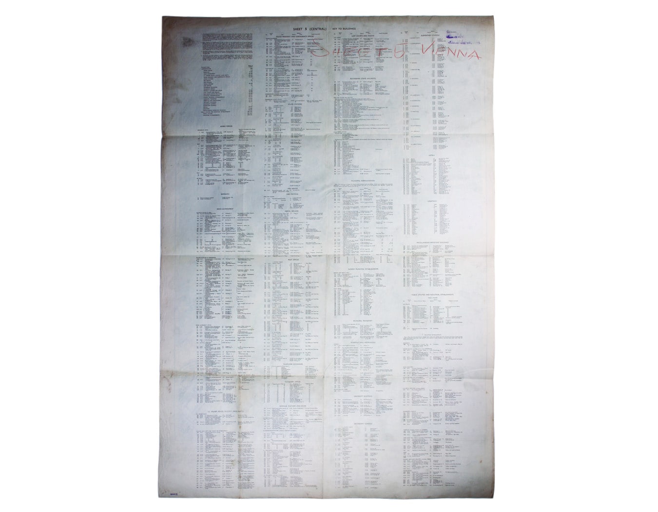
Map of Allied-occupied Vienna (second edition, June 1945), sheet-size 91.5 x 63 cm, printed in colours, key to buildings on verso, sheet identified in coloured pencil on verso, pin-holes to corners where displayed. Read less