

First Map of the Soviet Gulags
This important map of the ‘Gulag’, the Soviet system of forced labour camps, is seemingly the earliest published example of what was to become one ...
View full details

This important map of the ‘Gulag’, the Soviet system of forced labour camps, is seemingly the earliest published example of what was to become one ...
View full details

Sheets 44E/44F: North Sumatra and part of Siam/Part of Siam, Malaya and East Sumatra For the highly classified production of Escape & Evasion m...
View full details
Cloth Survival Chart S-12: Western Pacific Covering the Western Pacific, this is the largest of the US Navy ‘handkerchief’ charts. One side shows ...
View full details
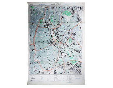
Town Plan of Wien (Vienna) – Second Edition –- Sheet 5 (Central) The Prater Park with its famous giant wheel is a fraction to the east of the city ...
View full details
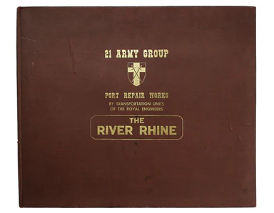
The first part of this work details the construction of semi-permanent bridges at Arnhem, Xanten, Rees and Spyck. The second part covers the equall...
View full details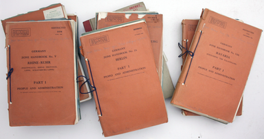
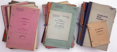
This is a collection of 61 intelligence handbooks, 1943-1945, covering enemy and occupied countries and compiled by the Foreign Office and Ministry...
View full details
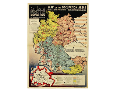
Map of the Occupied Areas / Carte des Zones d’Occupation / Karte der Besatzungs-Zonen mit Neuen Postleitgebieten / [in Cyrillic:] Karta Okkupacionn...
View full details
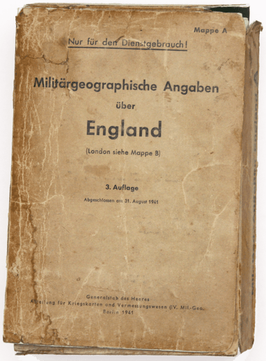
Mappe A […] Militärgeographische Angaben über England […] 3 Auflage, Abgeschlossen am 31 August 1941. Berlin: Generalstab des Heeres, Abteilung für...
View full details
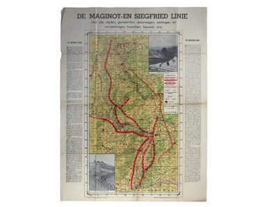
De Maginot – En Siegfried Line. Met alle steden, germeenten, spoorwegen, verstingen en versterkingen, bosschen, heuvels, enz. This map was publishe...
View full details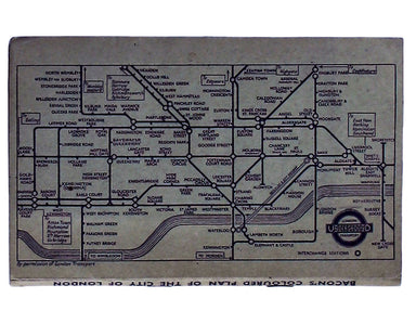
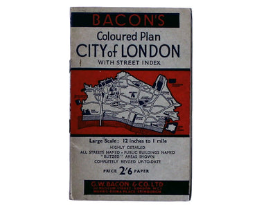
Bacon’s Large Scale Plan of the City of London –Bacon’s Coloured Plan of the City of London… “Blitzed” areas shown A highly detailed map of London ...
View full details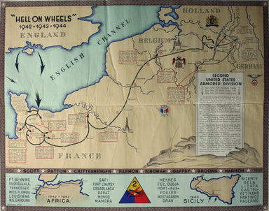
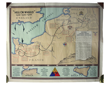
“Hell on Wheels” War Against the Axis 1942 – 1943 – 1944 The lower panel of this map deals with operations in North Africa and Sicily, with the uni...
View full details
