Crimean War Broadsheet Map
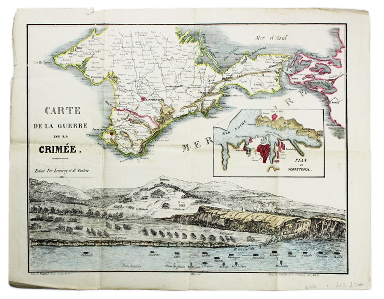
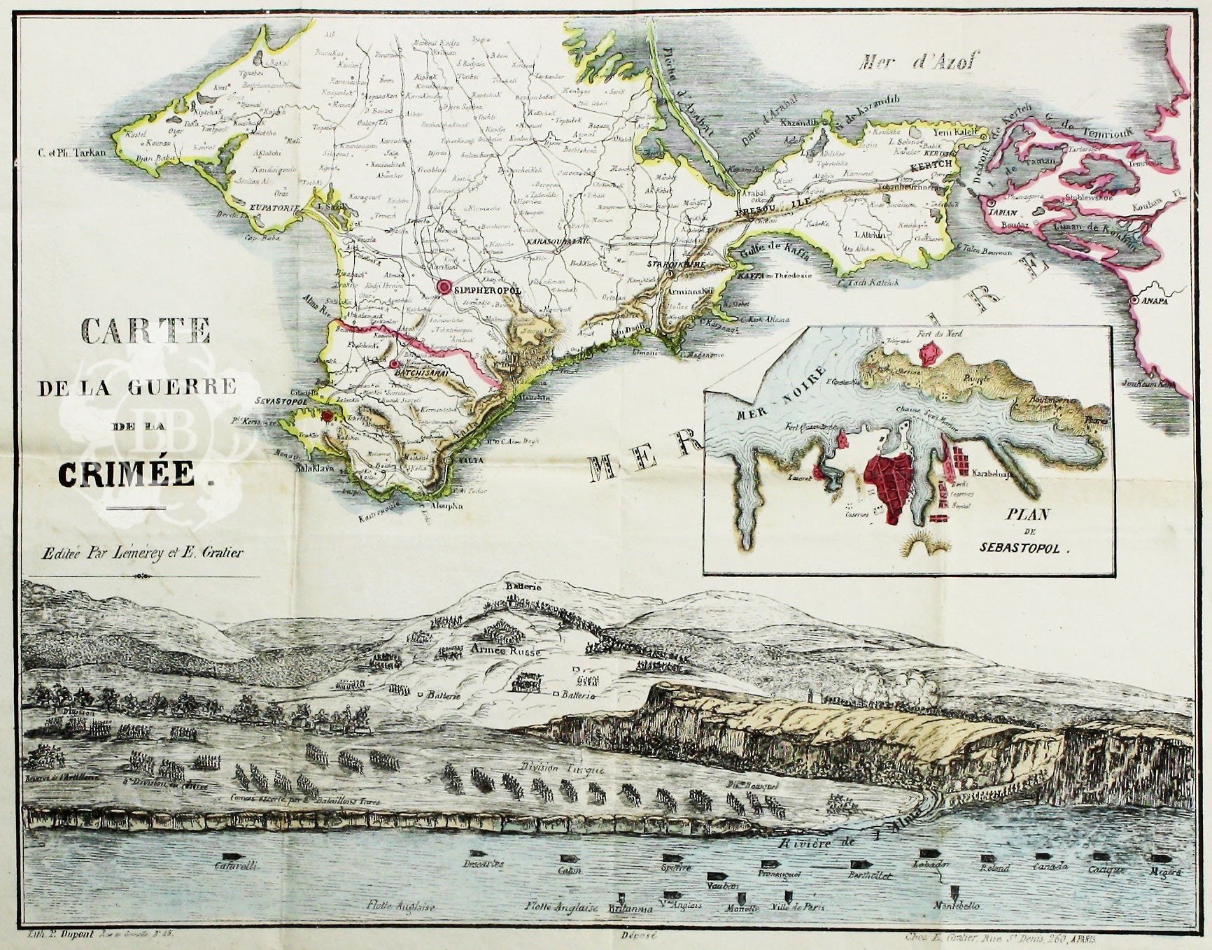
SKU: 8026Carte de la Guerre de la Crimèe. Editèe par Lèmèrey et E. Gratier
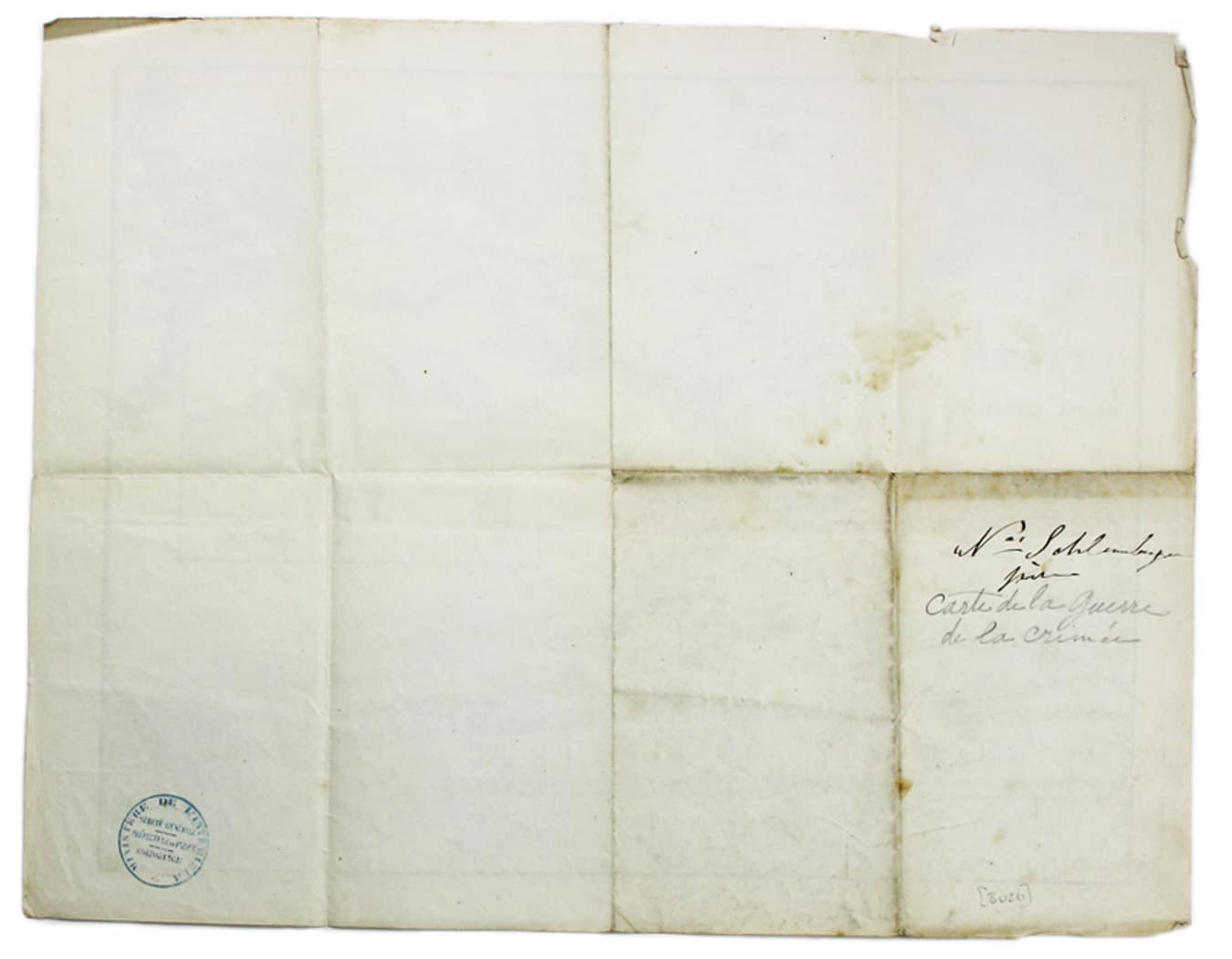
This Crimean War broadsheet map includes an inset of Sebastopol and a view of the battle of the Alma. It bears a circular ministère de l'intèrieur ink stamp, evidently licensing the map for distribution by colportage. Read more
Condition & Materials
Lithographed broadsheet map, sheet size 35 x 45 cm, folded into 8 panels, original hand colour; blank verso with contemporary [ownership?] inscription of M. Schlumberger père.
References
Not in BNF catalogue. Read less


