Austrian Crimean War Satirical Map
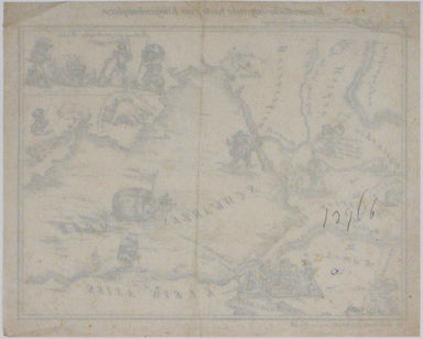
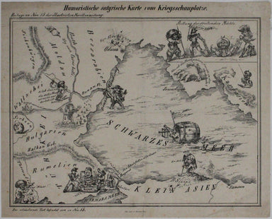
Humoristiche satyrische Karte von Kriegsschauplatze This Austrian pictorial map satirising the Crimean War was published in July 1854 in No. 55 the...
View full details

Humoristiche satyrische Karte von Kriegsschauplatze This Austrian pictorial map satirising the Crimean War was published in July 1854 in No. 55 the...
View full details
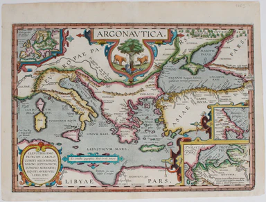
The Argonautica illustrates the mythical voyage of Jason and the Argonauts in their quest for the Golden Fleece. The map shows Black Sea and easter...
View full details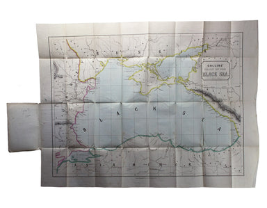
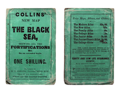
Collins’ Chart of the Black Sea/Collins’ New Map of the Black Sea, shewing all the fortifications &c on an extended scale. Contemporary with th...
View full details
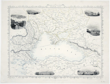
This map of the Black Sea has been updated to show the 300 miles of submarine telegraph cable laid between Varna and Balaclava by Robert Stirling N...
View full details

The Russian Shores of the Black Sea in the autumn of 1852. With a voyage down the Volga and a tour through the country of the Don Cossacks. Second ...
View full details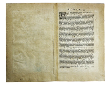
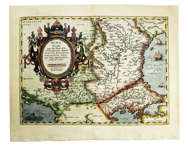
Romaniae, (quae olim Thracia dicta) Vicinarumque Regionum, uti Bulgariae, Walachiae, Syrfiae, etc. Descriptio This map shows the Lower Danube regio...
View full details
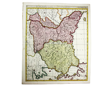
Bulgaria et Romania: divisa in singulares sangiacatus Silistriam, Nicopolin, Bodinum, Sardiam, Bysantium, Kirkeliam et Gallipolin, una cum finitimi...
View full details
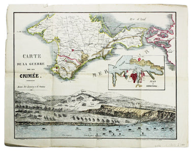
Carte de la Guerre de la Crimèe. Editèe par Lèmèrey et E. Gratier This Crimean War broadsheet map includes an inset of Sebastopol and a view of the...
View full details
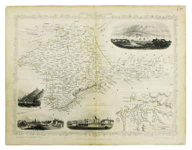
This map of Crimea was engraved by John Rapkin for the Illustrated Atlas. The inset is described as ‘Sebastopol before its investment’ (i.e. before...
View full details
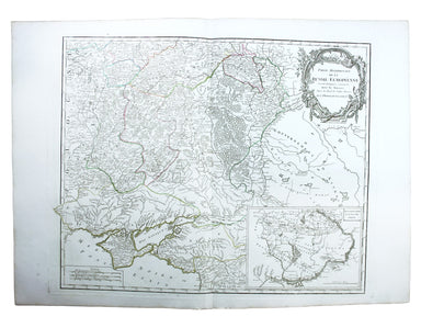
Partie Méridionale de la Russie Européenne This is a late state of Robert de Vaugondy’s map of southern Russia, Ukraine and parts of Poland. The or...
View full details
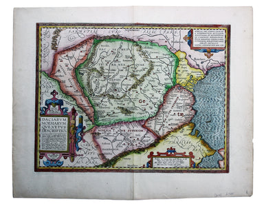
Daciarum, Moesiarumque, vetus descriptio This map of Ancient Dacia and Moesia, modern Romania and Bulgaria on the Black Sea was published by Baltha...
View full details
