

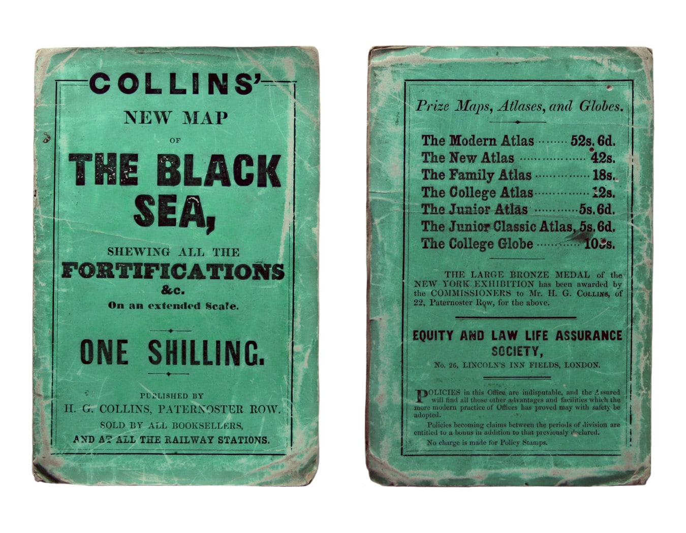
Collins’ Chart of the Black Sea
SKU: 8997
Title:
Collins’ Chart of the Black Sea
Date of publication:
Printed Measurement:
Colour:
Mapmaker:
Collins’ Chart of the Black Sea/Collins’ New Map of the Black Sea, shewing all the fortifications &c on an extended scale.
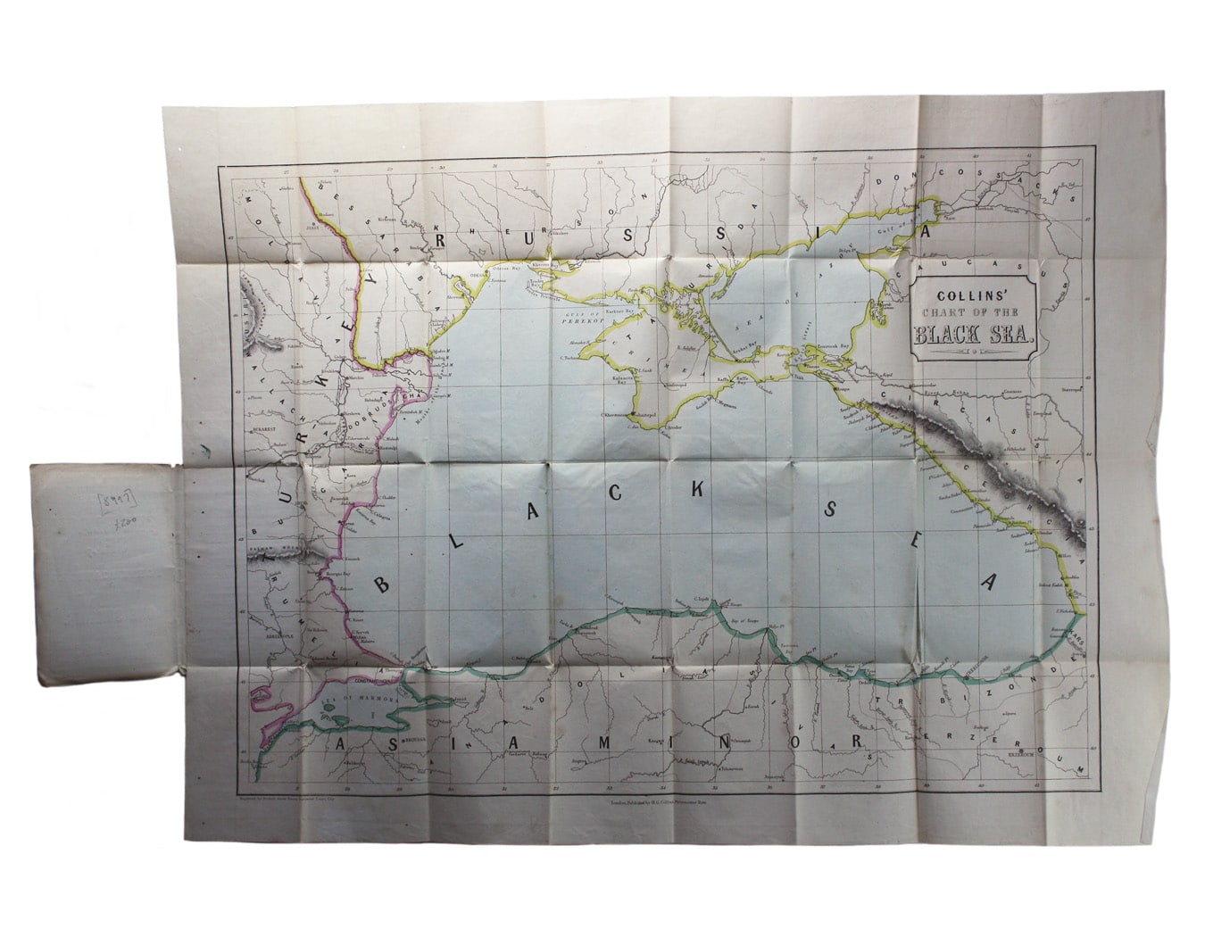
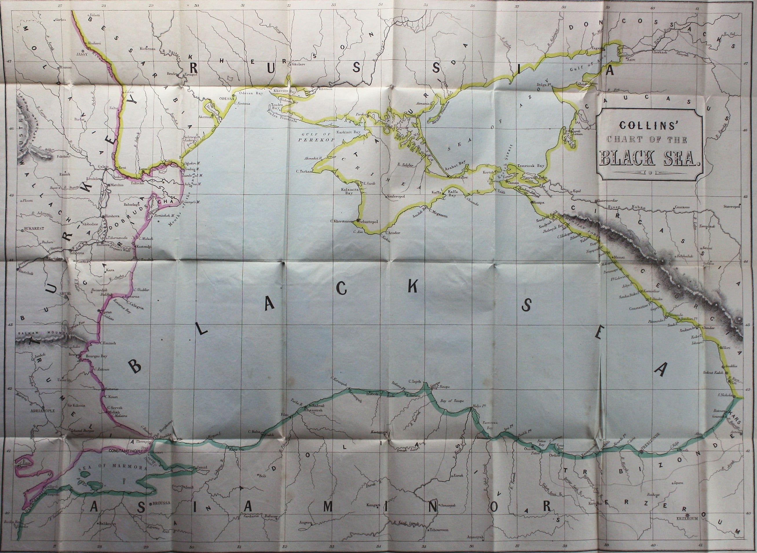
Contemporary with the Crimean War, this map was probably published during the early stages of the conflict before the focus shifted specifically to the Crimea itself and the great naval base of Sevastopol. Read more
Condition & Materials
Lithographed folding map of the Black Sea, sheet size 55.5 x 74 cm, map 48 x 65 cm, original hand colour, some wormholes, mostly to left hand margin, blank verso, folding into original printed paper wrappers. Read less