

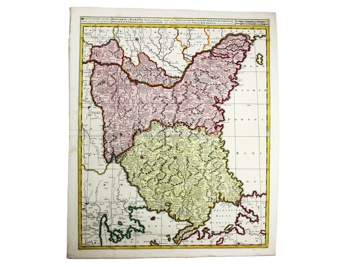
Valk’s Map of the Lower Danube
SKU: 7326
Title:
Valk’s Map of the Lower Danube
Date of publication:
Printed Measurement:
Colour:
Bulgaria et Romania: divisa in singulares sangiacatus Silistriam, Nicopolin, Bodinum, Sardiam, Bysantium, Kirkeliam et Gallipolin, una cum finitimis regionibus Valachia, Servia etc
This map of the Lower Danube region on the western shore of the Black Sea covers parts of modern Turkey and Bulgaria. Romania is here used in its earlier form, referring to the hinterland of Constantinople, the new Rome. Read more
Condition & Materials
Copper engraving, 49 x 59 cm, original hand-colour, blank verso. Read less