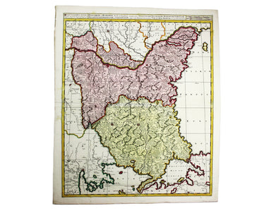
Valk’s Map of the Lower Danube
Bulgaria et Romania: divisa in singulares sangiacatus Silistriam, Nicopolin, Bodinum, Sardiam, Bysantium, Kirkeliam et Gallipolin, una cum finitimi...
View full details

Bulgaria et Romania: divisa in singulares sangiacatus Silistriam, Nicopolin, Bodinum, Sardiam, Bysantium, Kirkeliam et Gallipolin, una cum finitimi...
View full details
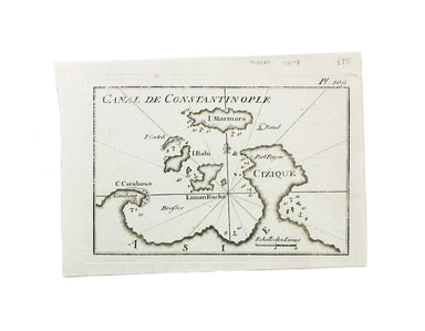
This sea chart shows the environs of Marmara Island on the southern coast of the Sea of Marmara, Turkey. The practical pocket sea atlas by Marseill...
View full details
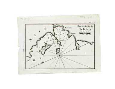
A sea chart of Foça, Turkey; near Smyrna. The practical pocket sea atlas by Marseilles hydrographer Joseph Roux, charting the ports and harbours of...
View full details
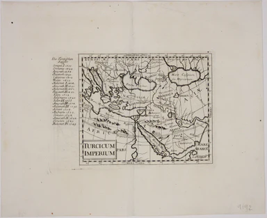
In the margin to the left of this map is an incomplete list of sultans of the Ottoman Empire. The map was published in Wagner’s ‘Delineatio Provinc...
View full details
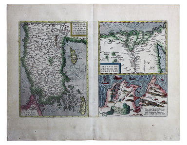
Natoliae quae olim Asia Minor nova descriptio / Aegypti recentior descriptio / Carthaginis celeberrimi sinus typus Here on one sheet we have three ...
View full details
