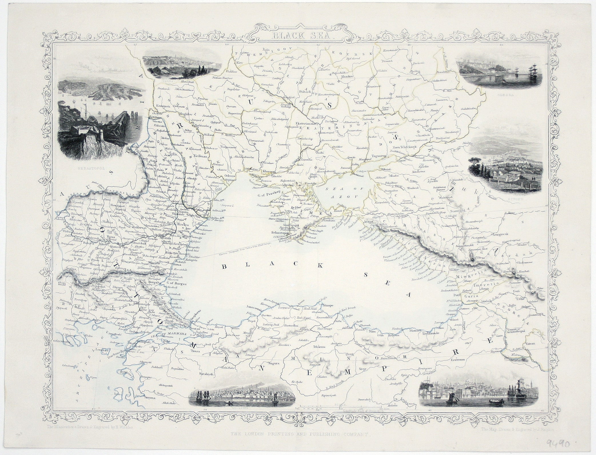
Tallis’ Map of the Black Sea
SKU: 9490
Title:
Tallis’ Map of the Black Sea
Date of publication:
Printed Measurement:
Colour:
Mapmaker:
Engraver:
This map of the Black Sea has been updated to show the 300 miles of submarine telegraph cable laid between Varna and Balaclava by Robert Stirling Newall during the Crimean War, operational from April 1855.
It was the longest submarine cable of its day, cut two days from the time it took to send and receive messages (the typical journey time across the Black Sea by ship) and once linked with the rest of the telegraph system allowed, for the first time (and for good or ill), near instantaneous communication between Paris and London and the Allied commanders in the field. Read more
Condition & Materials
Steel engraving, 26 x 32 cm, original outline colour, blank verso; engraved by John Rapkin for the ‘Illustrated Atlas’ with vignettes of Sebastapol, Varna, Odessa, Sinope, Constantinople and Silistra drawn and engraved by Henry Winkles. Read less


