
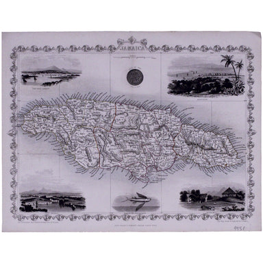
Tallis' Map of Jamaica
This map of Jamaica includes vignettes of Kingston, Port Royal, Port Antonio, and a sugar mill. The map was engraved by John Rapkin for John Tallis...
View full details

This map of Jamaica includes vignettes of Kingston, Port Royal, Port Antonio, and a sugar mill. The map was engraved by John Rapkin for John Tallis...
View full details

Victoria or Port Phillip Engraved by John Rapkin for the Illustrated Atlas, this map includes vignettes of Melbourne, the River Glenelg, a kangaroo...
View full details
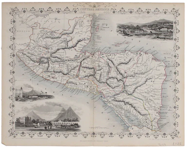
This map of Central America was engraved by John Rapkin for John Tallis' popular ‘Illustrated Atlas’. It includes black and white vignettes of Beli...
View full details
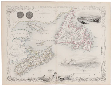
This map of Nova Scotia was engraved by John Rapkin for John Tallis' popular ‘Illustrated Atlas’; it includes black and white vignettes of Halifax,...
View full details
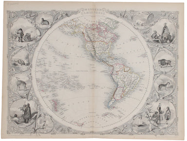
The map of the Eastern Hemisphere tracks the overland route to India (subject of a separate map in the series) and on to Australia. John Tallis the...
View full details
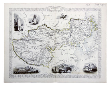
Thibet, Mongolia, and Mandchouria This map was engraved by John Rapkin for the ‘Illustrated Atlas’; with vignettes including Leh in Ladakh, a stret...
View full details
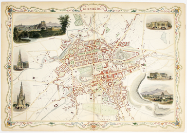
This map of Edinburgh is one of the town plans in Tallis’ hugely popular ‘Illustrated Atlas’ which was published serially from the mid 1840s onward...
View full details
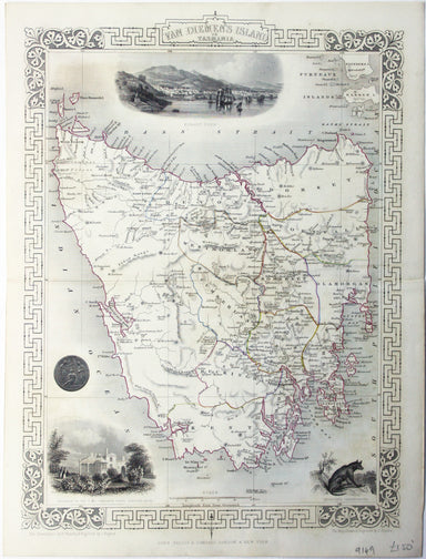
This map of Tasmania was engraved by John Rapkin for the ‘Illustrated Atlas'. John Rogers engraved the black and white vignettes including Hobart T...
View full details
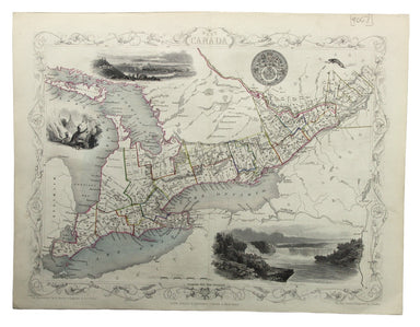
This map of West Canada was engraved by John Rapkin for the ‘Illustrated Atlas’. The map also includes black and white vignettes of Kingston, Ontar...
View full details
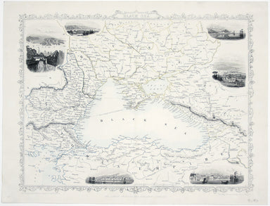
This map of the Black Sea has been updated to show the 300 miles of submarine telegraph cable laid between Varna and Balaclava by Robert Stirling N...
View full details
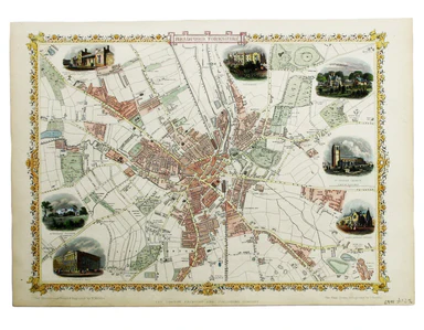
Condition & Materials Steel engraving, 25 x 33 cm, recent hand colour, blank verso; map of Bradford
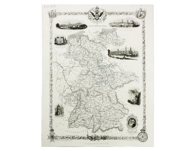
This map of Germany was engraved by John Rapkin for the Illustrated Atlas. John Rogers engraved a number of vignettes: the Palace at Saxe Gotha, bi...
View full details
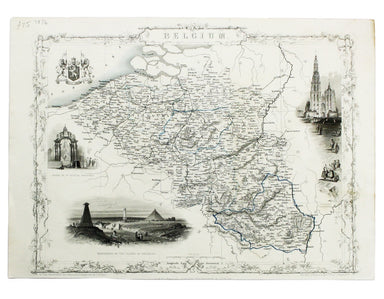
This map of Belgium was engraved by John Rapkin for the Illustrated Atlas. Vignettes including Antwerp cathedral and monuments on the plains of Wat...
View full details
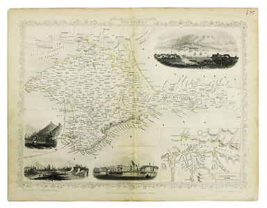
This map of Crimea was engraved by John Rapkin for the Illustrated Atlas. The inset is described as ‘Sebastopol before its investment’ (i.e. before...
View full details
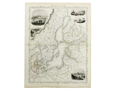
This map of the Baltic Sea was engraved by John Rapkin for the Illustrated Atlas. Vignettes including Kronstadt and St Petersburg were engraved by ...
View full details
