

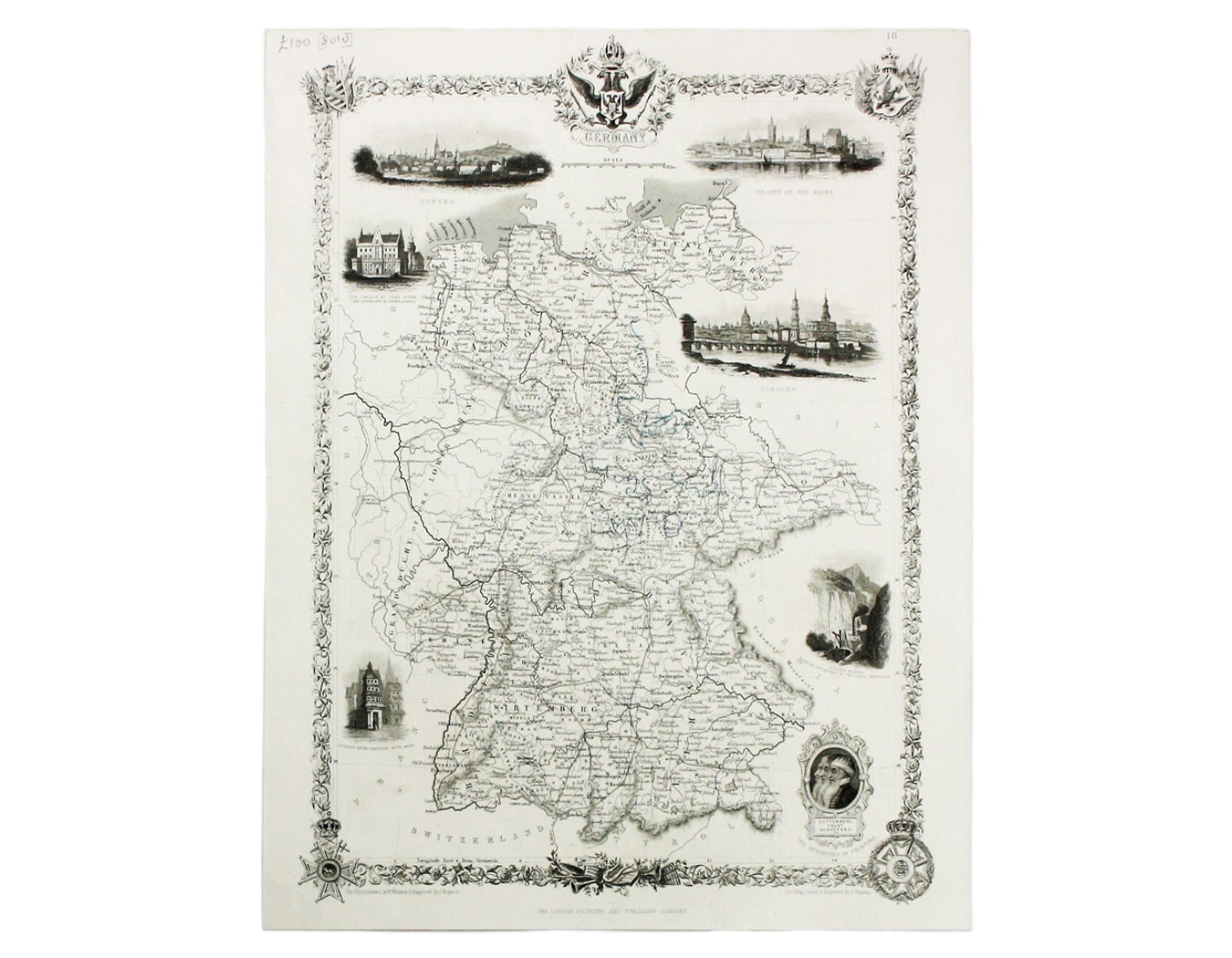
Tallis’ Map of Germany
SKU: 8010
Title:
Tallis’ Map of Germany
Date of publication:
Printed Measurement:
Colour:
Mapmaker:
Engraver:
This map of Germany was engraved by John Rapkin for the Illustrated Atlas.
John Rogers engraved a number of vignettes: the Palace at Saxe Gotha, birthplace of Prince Albert; Coburg; Cologne; Dresden; Luther’s house in Frankfurt; silver mines in the Harz Mountains. Read more
Also included are profiles of Johannes Gutenberg, Johann Fust and Peter Schoeffer, the ‘inventors of printing’.
Condition & Materials
Steel engraving, 35 x 25 cm, original outline colour, blank verso. Read less