

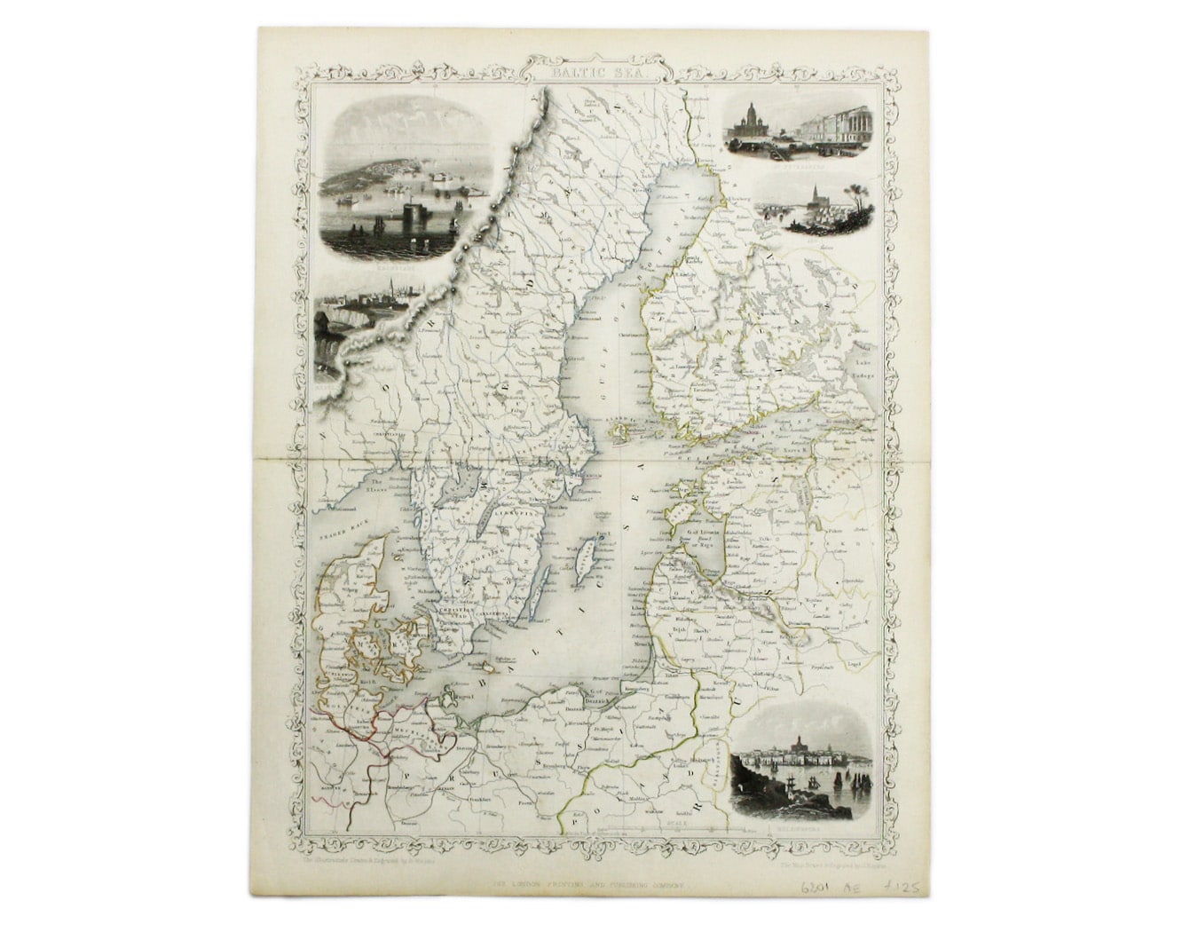

Tallis’ Map of the Baltic Sea
SKU: 6801
Title:
Tallis’ Map of the Baltic Sea
Date of publication:
Printed Measurement:
Colour:
Mapmaker:
Engraver:
This map of the Baltic Sea was engraved by John Rapkin for the Illustrated Atlas.
Vignettes including Kronstadt and St Petersburg were engraved by Henry Winkles. Read more
Condition & Materials
Steel engraving, 25.5 x 34 cm, original outline colour, blank verso. Read less