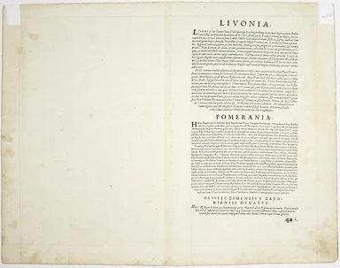
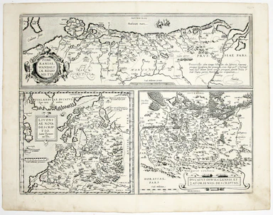
Ortelius’ Map of the Baltic: Livonia, Pomerania & the Silesian Duchies
Pomeraniae Wandalicae Regionis Typ. [on sheet with] Livoniae Nova descriptio [and] Ducatus Oswieczensis et Zatoriensis Descriptio An early example ...
View full details

Pomeraniae Wandalicae Regionis Typ. [on sheet with] Livoniae Nova descriptio [and] Ducatus Oswieczensis et Zatoriensis Descriptio An early example ...
View full details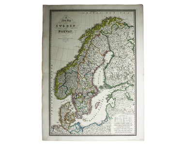
This map of Scandinavia is from Wyld's New General Atlas. James Wyld senior established a highly successful firm of map publishers, which passed to...
View full details
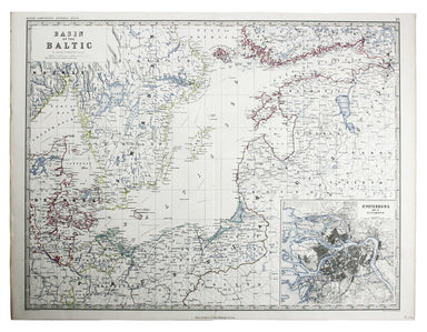
This map of the Baltic, with an inset of St Petersburg, is from the Royal Atlas of Modern Geography. Condition & Materials Lithographed map, 45...
View full details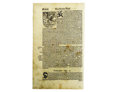
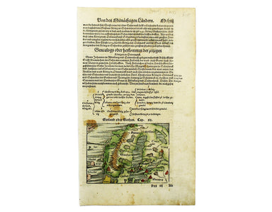
This map of Scandinavia is from Sebastian Münster's Cosmographia. A compendium of topographical information, folklore and travels, it was first pub...
View full details
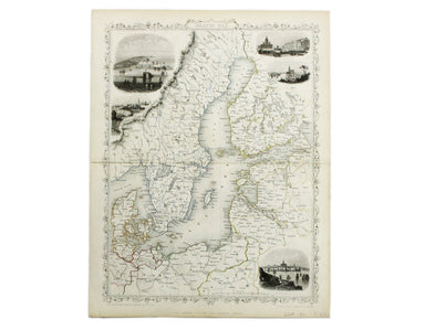
This map of the Baltic Sea was engraved by John Rapkin for the Illustrated Atlas. Vignettes including Kronstadt and St Petersburg were engraved by ...
View full details
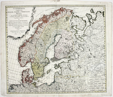
Scandinavia complectens Sveciae, Daniae et Norvegiae Regna ex novissimis subsidiis delineata et ad Leges Projectionis Stereographicae legitimae red...
View full details
