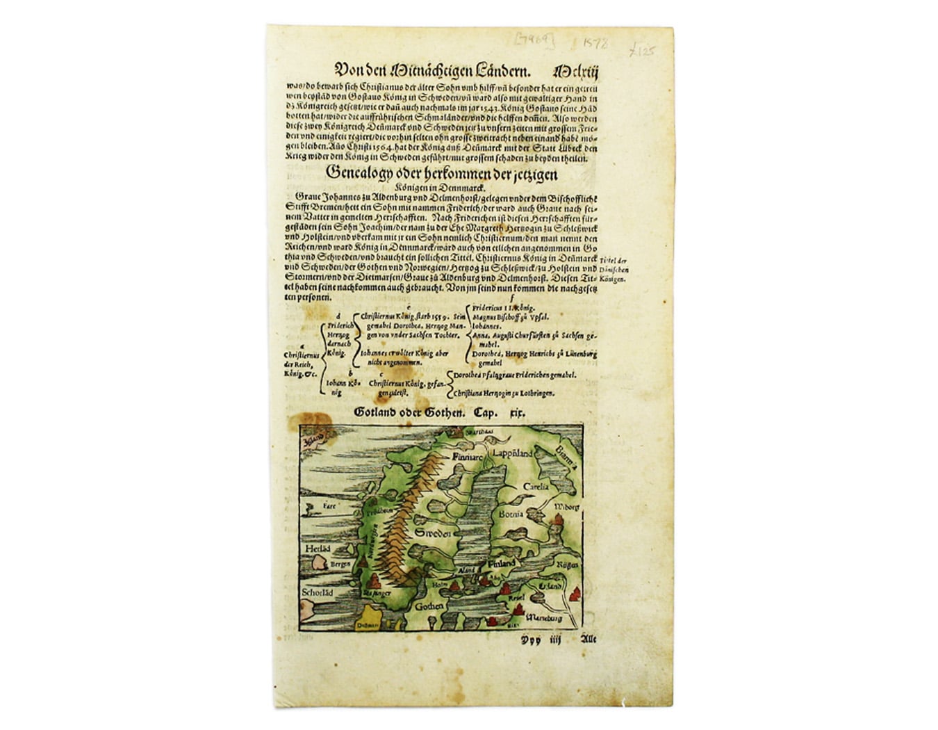
Münster’s Map of Scandinavia
SKU: 7969
Title:
Münster’s Map of Scandinavia
Date of publication:
Printed Measurement:
Publisher:
Colour:
Mapmaker:
This map of Scandinavia is from Sebastian Münster's Cosmographia. A compendium of topographical information, folklore and travels, it was first published with a modest 26 maps in 1544, mostly borrowed from his Ptolemy of 1540.
A substantial enlargement took place in 1550, and after Münster's death in 1552 his step-son, Heinrich Petri (and his son, Sebastian), continued to revise and augment the work. Read more
A major revision took place in 1588, replacing some of the original maps with new examples following those in Ortelius' Theatrum; in the 1590s improved town plans were added, following the accurate examples in Braun and Hogenberg's Civitates Orbis Terrarum, so that by the last edition of 1628 the work had swollen to include over 260 maps and views.
It was an immensely popular work: over forty editions were issued in half a dozen languages Latin, French, German, Dutch and Italian as well as a solitary Czech edition. It was one of the most widely read and influential geographical works of its age.
Condition & Materials
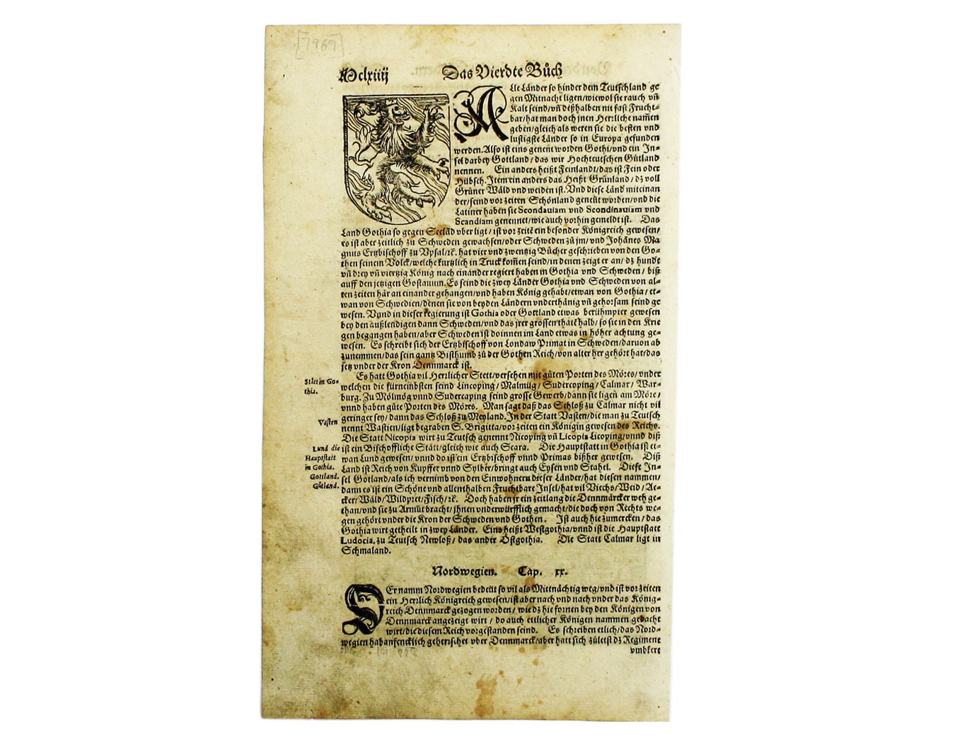
Woodcut, 10 x 13.5 cm, modern hand-colour, set within descriptive German text, some spotting, sheet size 32.5 x 19.5 cm. Read less


