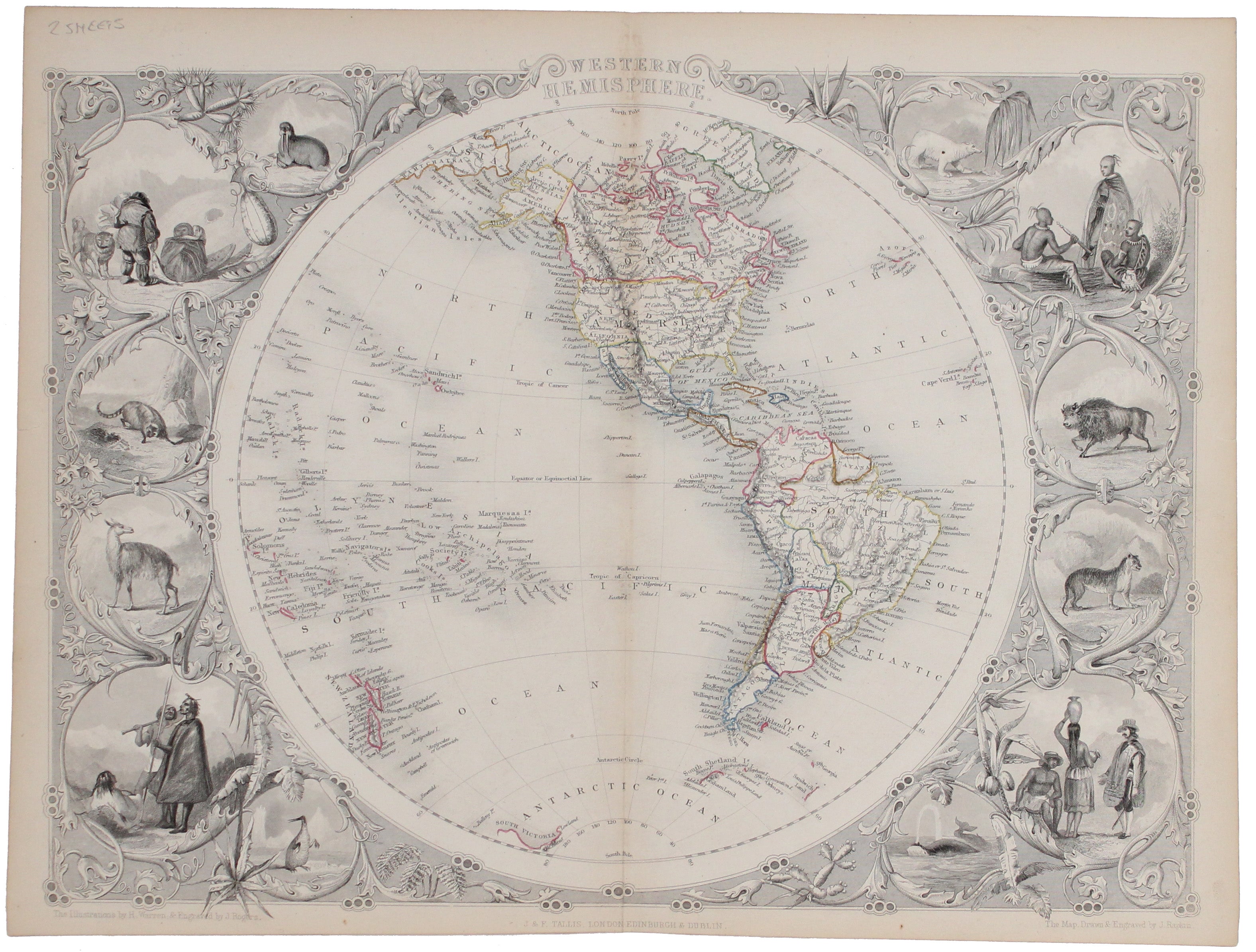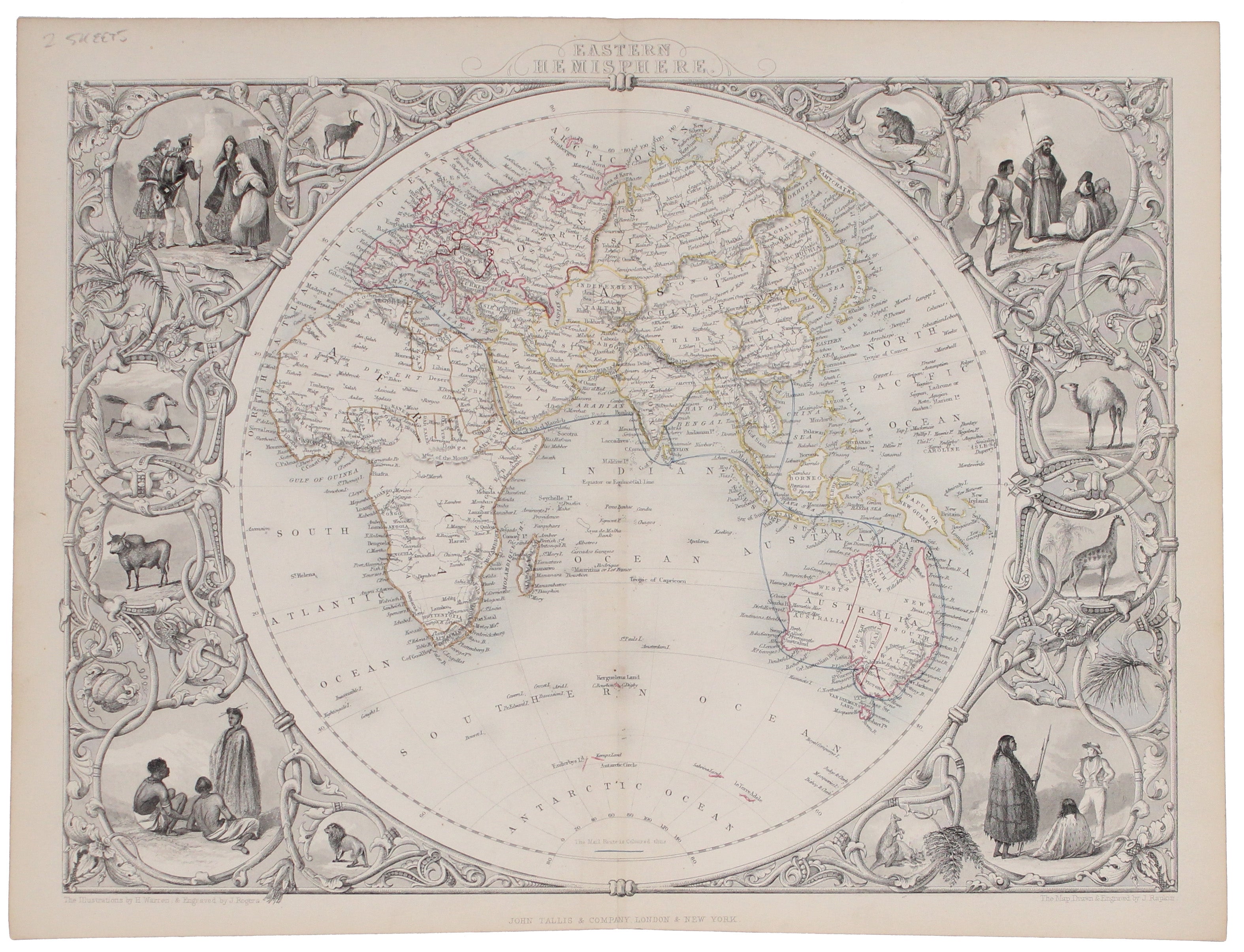
Tallis' Map of the Eastern & Western Hemispheres
SKU: 9621
Title:
Tallis' Map of the Eastern & Western Hemispheres
Date of publication:
Place of publication:
Colour:
Mapmaker:
The map of the Eastern Hemisphere tracks the overland route to India (subject of a separate map in the series) and on to Australia.
John Tallis the younger (1817-76) is best remembered for his hugely popular "Illustrated Atlas" published serially from the mid 1840s onwards and in its complete form in 1851. He was born in Stourbridge in Worcestershire in about 1818 and it is likely that he stayed in the Midlands working as a publisher in Birmingham, until he moved to London in the early 1840s. Seemingly a victim of unscrupulous business partners, he died in penury and is buried in an unmarked grave.
Read more
Condition & Materials
Two steel engraved map sheets, each approx. 26 x 34 cm, original hand colour, imprint in lower margin cut close, blank verso; engraved by John Rapkin for the ‘Illustrated Atlas’, with vignettes of animals and peoples of the world engraved by John Rogers after H. Warren. Read less


