

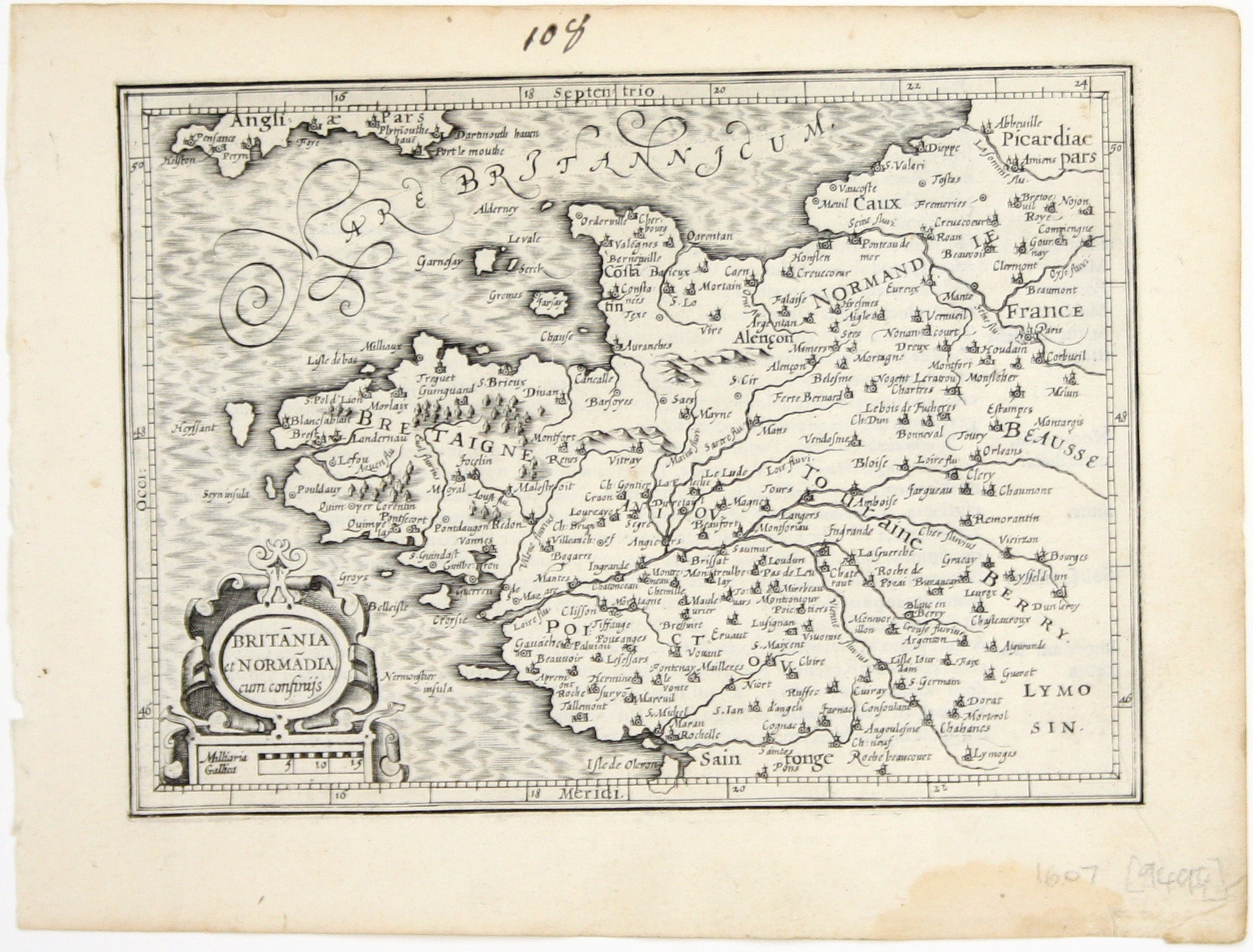
Mercator’s Miniature Map of Brittany & Normandy
SKU: 9494
Title:
Mercator’s Miniature Map of Brittany & Normandy
Date of publication:
Printed Measurement:
Colour:
Mapmaker:
Engraver:
Britannia et Normandia cum consiniis
This map of Brittany and Normandy was engraved by Jodocus Hondius for the ‘Atlas Minor’. Read more
Condition & Materials
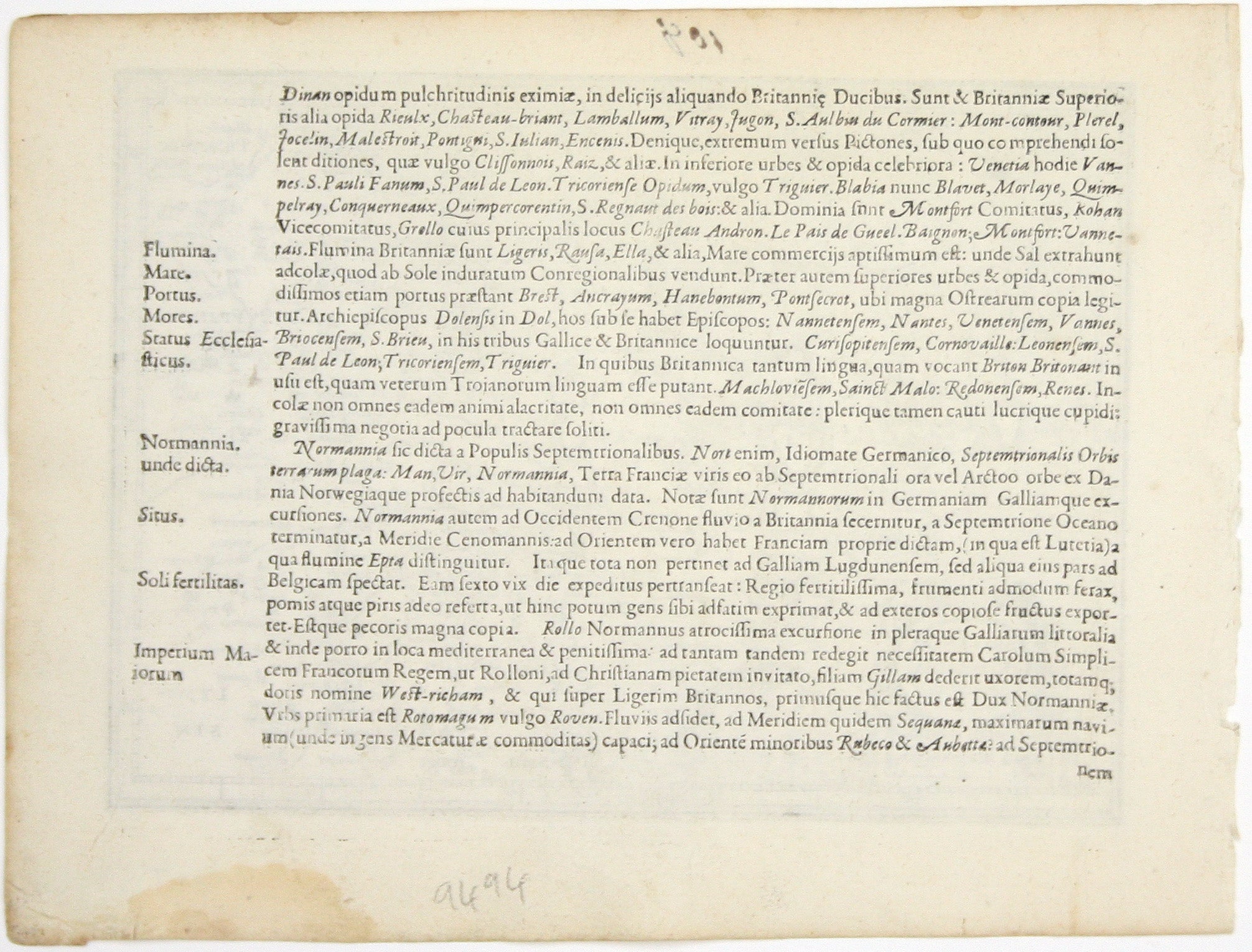
Copper engraving, 13.5 x 18.6 cm, black and white, numbered in an early hand in upper margin, light waterstaining in lower margin, Latin text on verso.
References
Koeman Me 186. Read less