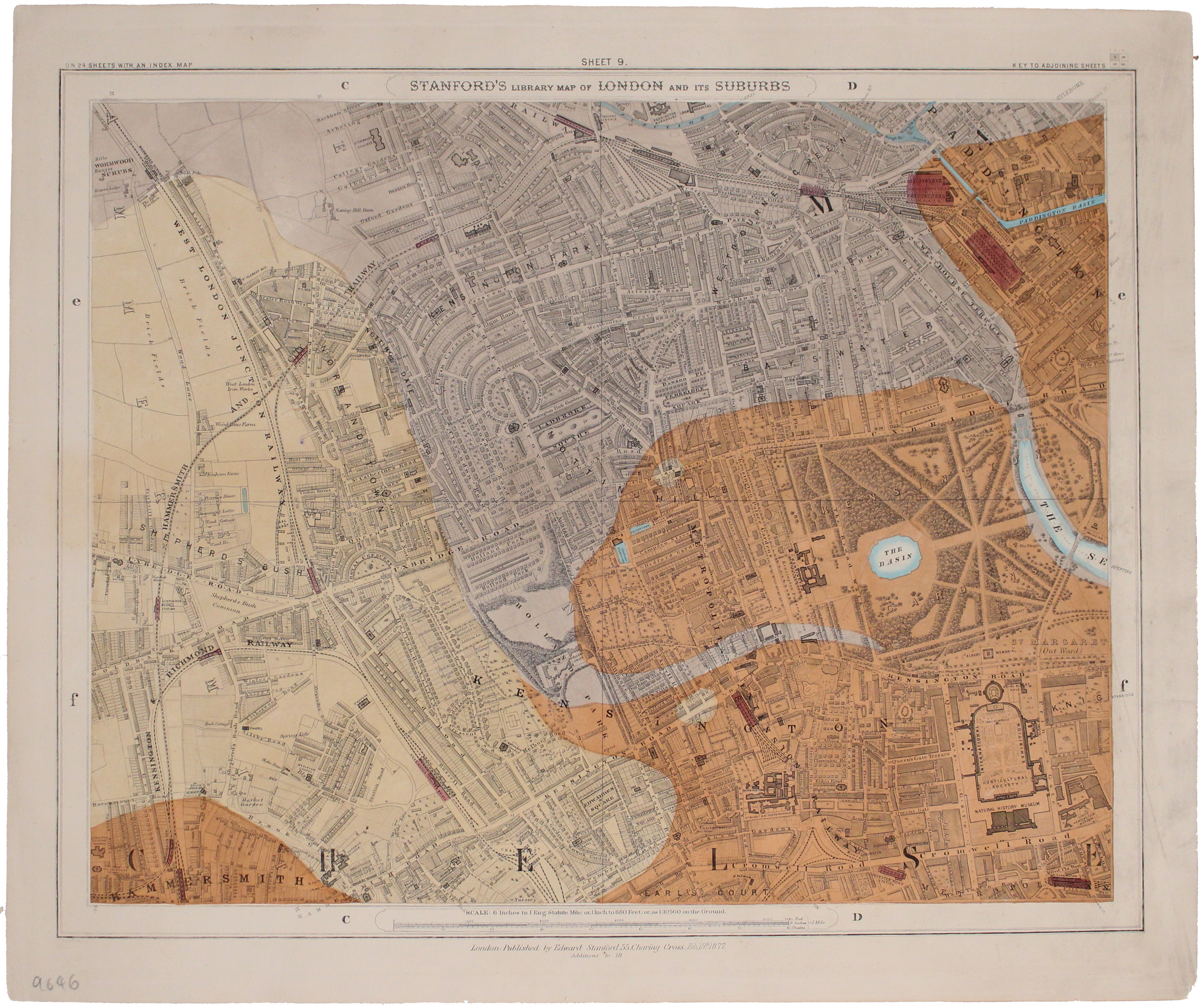
Stanford's Library Map, Kensington-Notting Hill Sheet
SKU: 9646
Title:
Stanford's Library Map, Kensington-Notting Hill Sheet
Date of publication:
Place of publication:
Colour:
Mapmaker:
Since its first publication in 1862, and before the detailed Ordnance Survey map of London, Stanford's scrupulously revised and updated Library Map of London and Its Suburbs had no serious rival.
This Kensington-Notting Hill sheet (no.9) of that highly detailed 24-sheet map of London was coloured to show geological detail by James B. Jordan of the Ordnance Geological Survey; Jordan also compiled ‘Stanford’s Geological Map of London’, which was first published in 1870. The base-map here is clearly identifiable beneath the colour wash.
Read more
Condition & Materials
Steel engraving, approx 36 x 43 cm, original hand colour, right hand margin a little dusty, blank verso.
References
Hyde, Printed Maps Of Victorian London, 91, (13) Read less


