WH Smith’s Map of the Crystal Palace Railway Boom
SKU: 9441
Title:
WH Smith’s Map of the Crystal Palace Railway Boom
Date of publication:
Printed Measurement:
Publisher:
Colour:
Mapmaker:
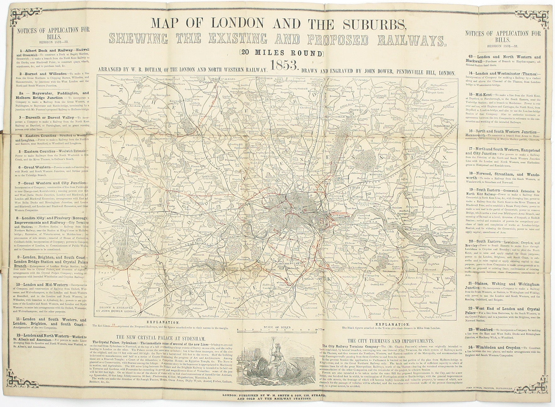
Map of London and the Suburbs, shewing the existing and proposed railways. [20 miles round] arranged by W.R. Botham, of the London and North Western Railway. Drawn and engraved by John Dower […]
The map appears to have been a one-off, inspired by the flurry of activity surrounding the relocation of the Crystal Palace from its original site in Hyde Park to Sydenham, ‘the immediate cause of several of the new lines’. However, it also details Charles Pearson’s latest proposals for the ‘City Railway Terminus Company’, which a decade later had evolved into the world’s first underground passenger railway. Read more
Condition & Materials
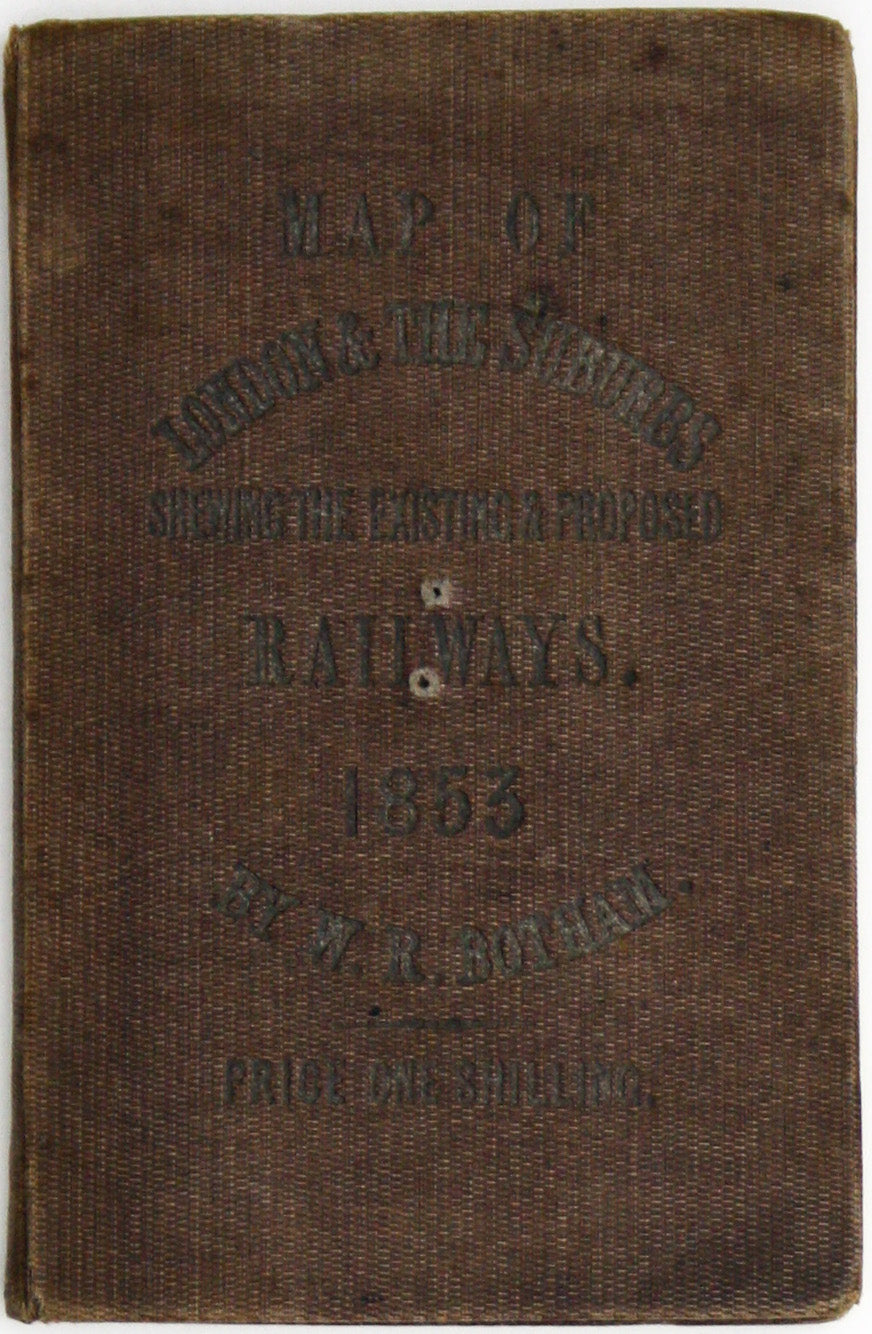
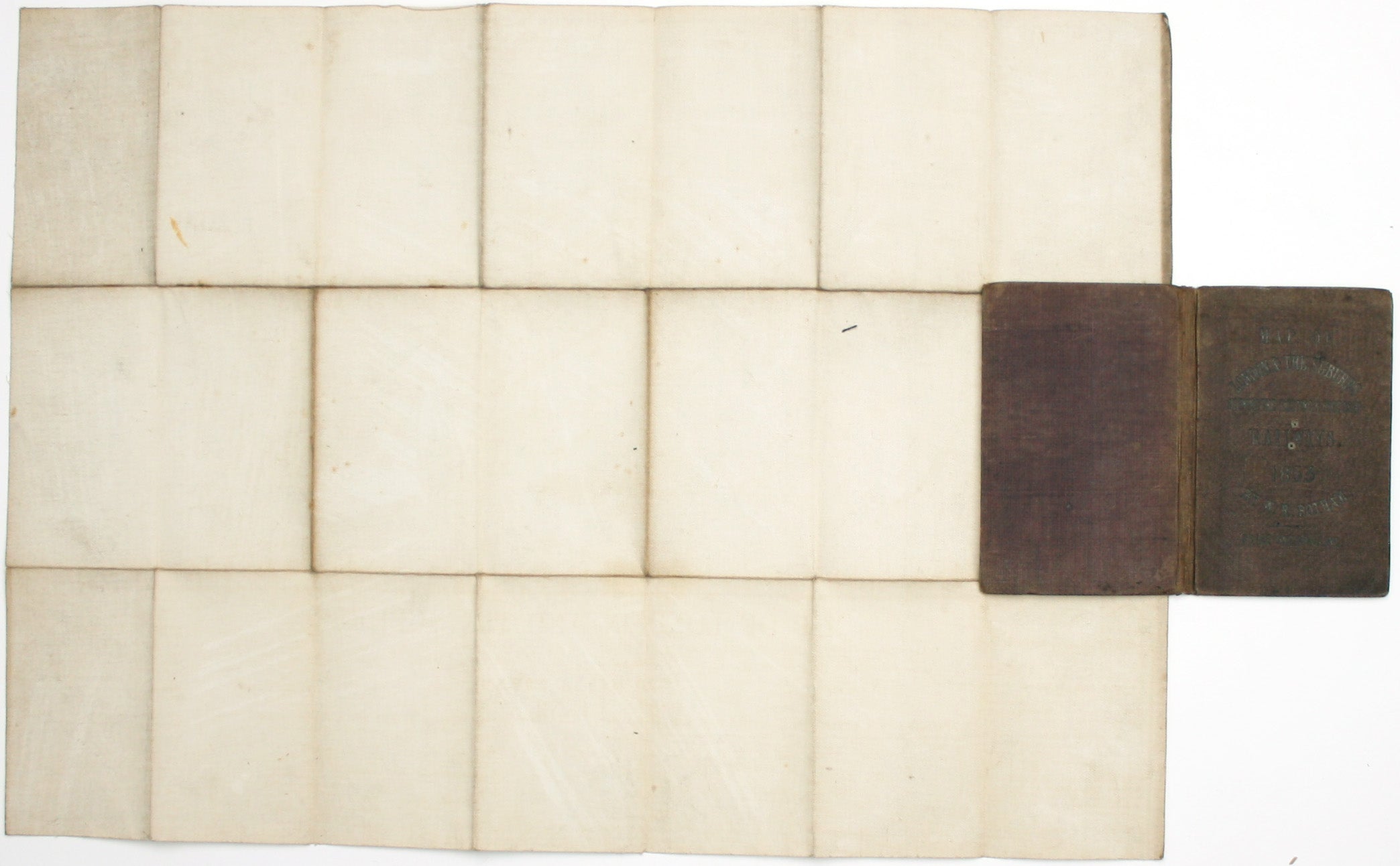
Wood engraved folding map, sheet size 39.5x 55 cm, black and white with 24 proposed lines for the 1852-52 Parliamentary session numbered and printed in red, and with explanatory text in the borders, laid on linen, minor wear at fold intersections; folding into publisher’s brown cloth covers, a little worn and faded, with a 24 page booklet detailing the proposals pasted to the front pastedown.
References
Hyde only identifies this edition of the map (it does not appear to have been revised and updated) and only locates the British Library copy. We have been able to locate examples in just four institutions: two in the UK and two in North America.
OCLC 33824518/556421296/1072024276
Hyde, Printed Maps of Victorian London, 33.
Read less


