£250.00


Royal East Africa Automobile Association Road Map
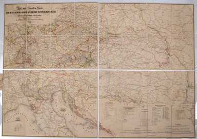
Sketch Map of Northern and Central East Africa / [Cover title:] Road Map of East Africa This map was ‘compiled with the help of the Public Works an...
View full details