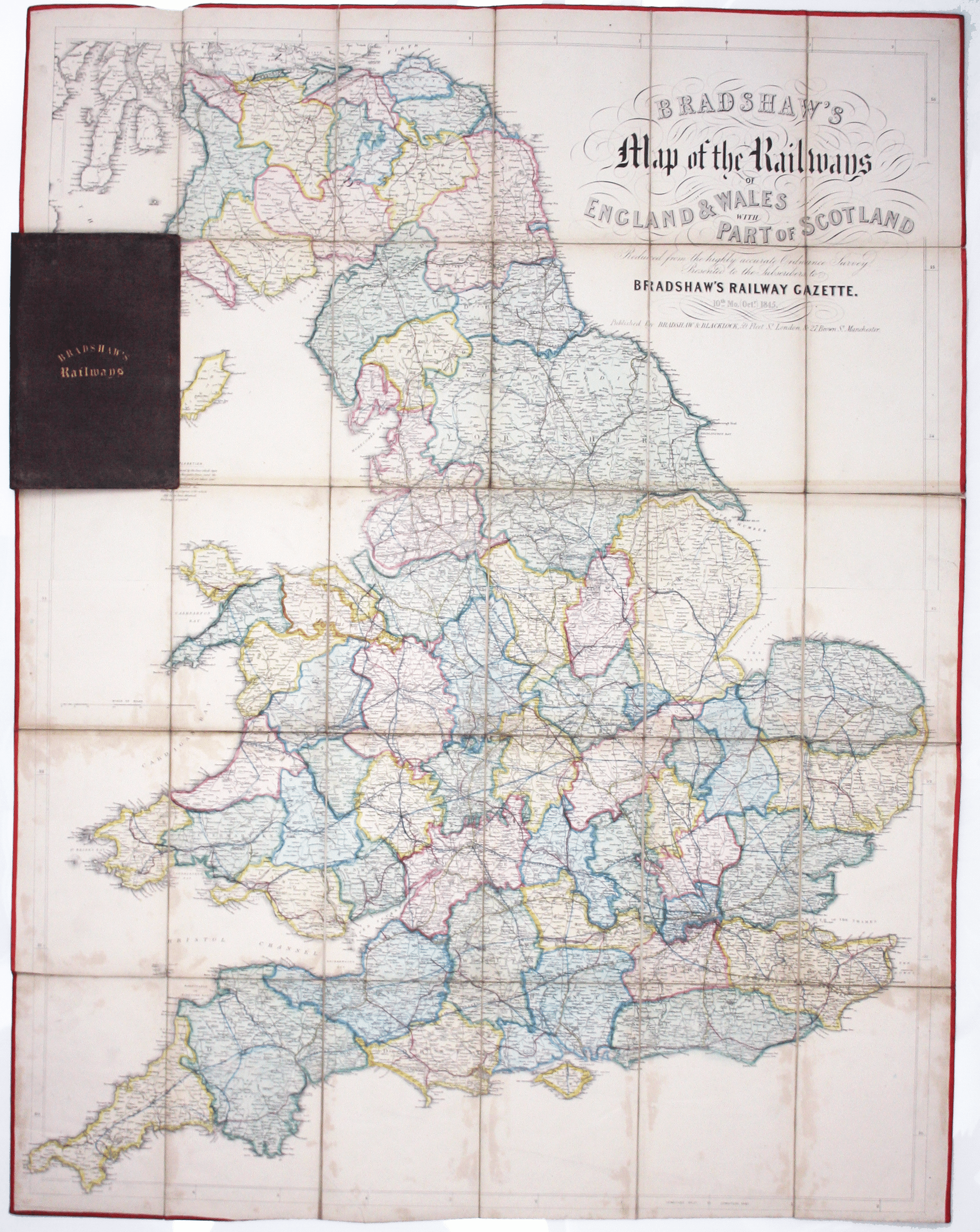
Bradshaw’s 1845 Railway Map
SKU: 9384
Title:
Bradshaw’s 1845 Railway Map
Date of publication:
Printed Measurement:
Colour:
Mapmaker:
Bradshaw’s map of the railways of England & Wales with part of Scotland, reduced from the highly accurate Ordnance Survey, presented to the subscribers to Bradshaw’s Railway Gazette
This railway map was published in October 1845 as Railwaymania neared its peak: in 1846 272 Acts of Parliament setting up new railway companies were passed, with the proposed routes totalling 9,500 miles, a third of which were never built. Read more
Bradshaw’s railway maps and timetables (in both cases the first national examples of their kind, where railways were the main focus) had been published since 1839. Bradshaw’s Railway Gazette appeared weekly from July 1845, giving updates to train services and advertising other publications such as this map.
Condition & Materials
Engraved folding map, 112.5 x 86.5 cm, dissected into 30 panels and laid on linen, original hand colour, some light staining and discolouration, edged in red silk, folding into brown cloth covers, rebacked, worn Bradford bookseller’s ticket to front pastedown. The colour denotes county boundaries and railways built and under construction. Read less


