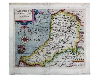
Saxton-Kip Map of Cardiganshire
This map of Cardiganshire was published in the second edition of Philemon Holland’s translation of Camden’s Britannia into English, the third print...
View full details

This map of Cardiganshire was published in the second edition of Philemon Holland’s translation of Camden’s Britannia into English, the third print...
View full details
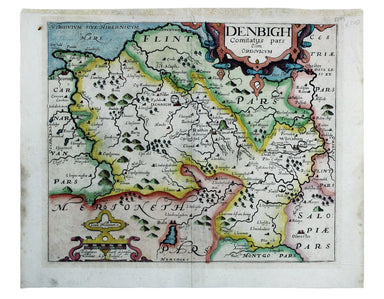
This map of Denbighshire was published in the second edition of Philemon Holland’s translation of Camden’s Britannia into English, the third printi...
View full details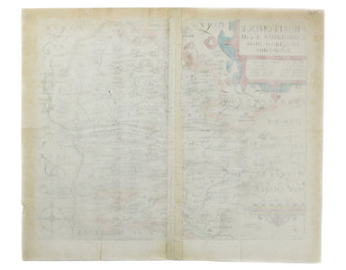
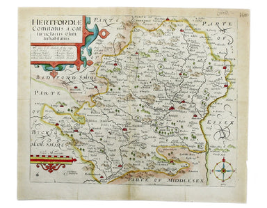
Hertfordiae Comitatus This map of Hertfordshire is from the second edition of Philemon Holland’s translation of Camden’s Britannia into English, th...
View full details
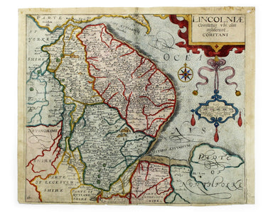
Lincolniae Comitatus ubi olim insederunt Coritani This map of Lincolnshire is from the second edition of Philemon Holland’s translation of Camden’s...
View full details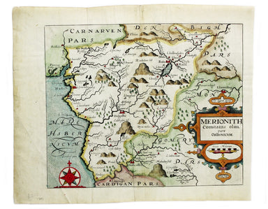
This map of Merionethshire is from the second edition of Philemon Holland’s English translation of Camden’s Britannia, the third printing from the ...
View full details
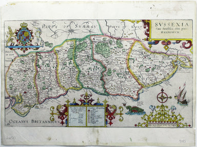
William Camden was an Elizabethan historian who wrote a county by county description of England. He continued to revise and expand his work, which ...
View full details
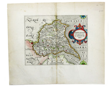
Eboracensis Comitatus […] pars Orientalis, vulgo East Riding. This map of the East Riding is from the second edition of Philemon Holland’s translat...
View full details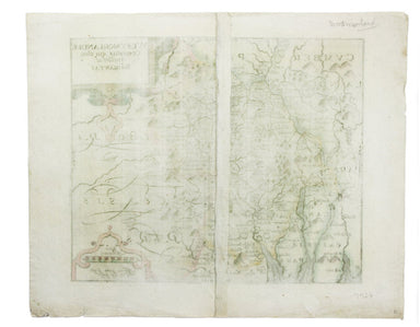
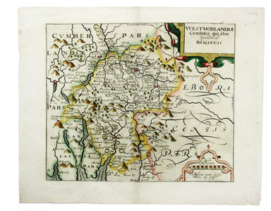
Wesmorlandia e comitatis. This map of Westmorland is from the second edition of Philemon Holland’s translation of Camden’s Britannia into English, ...
View full details
