

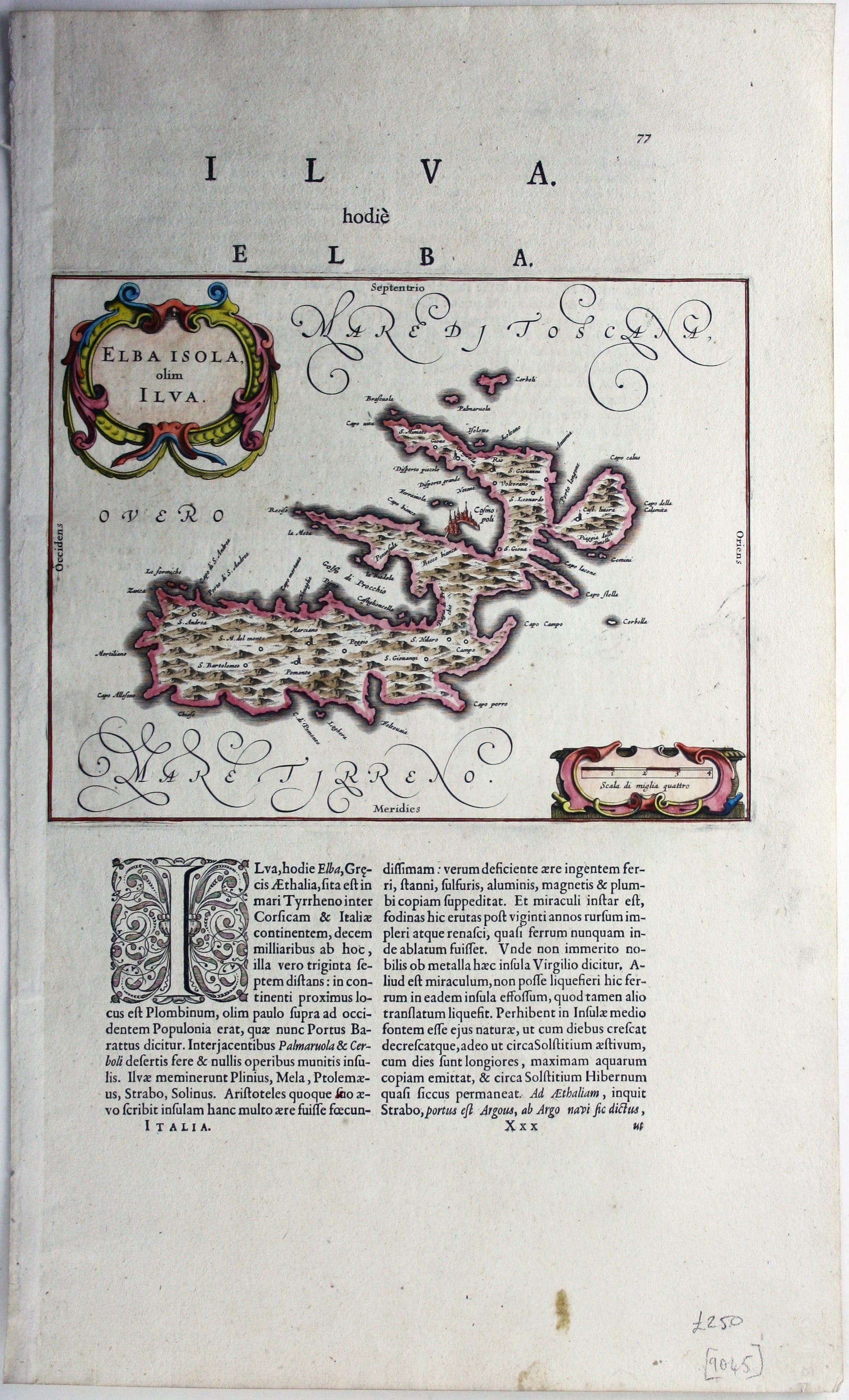
Blaeu’s Map of Elba
SKU: 9045
Title:
Blaeu’s Map of Elba
Date of publication:
Printed Measurement:
Publisher:
Colour:
Mapmaker:
This is the Tuscan island of Elba, a map newly added to the ‘Atlas Novus’ in 1640.
Koeman records that it was first published in the French text edition of the same year.
Read more
Condition & Materials
Copper engraving, sheet size 49.5 x 30 cm, map 20 x 25.5 cm, modern hand colour, set within Latin text with further text on verso.
References
Koeman, Atlantes Neerlandici, Bl 36A. Read less